
-
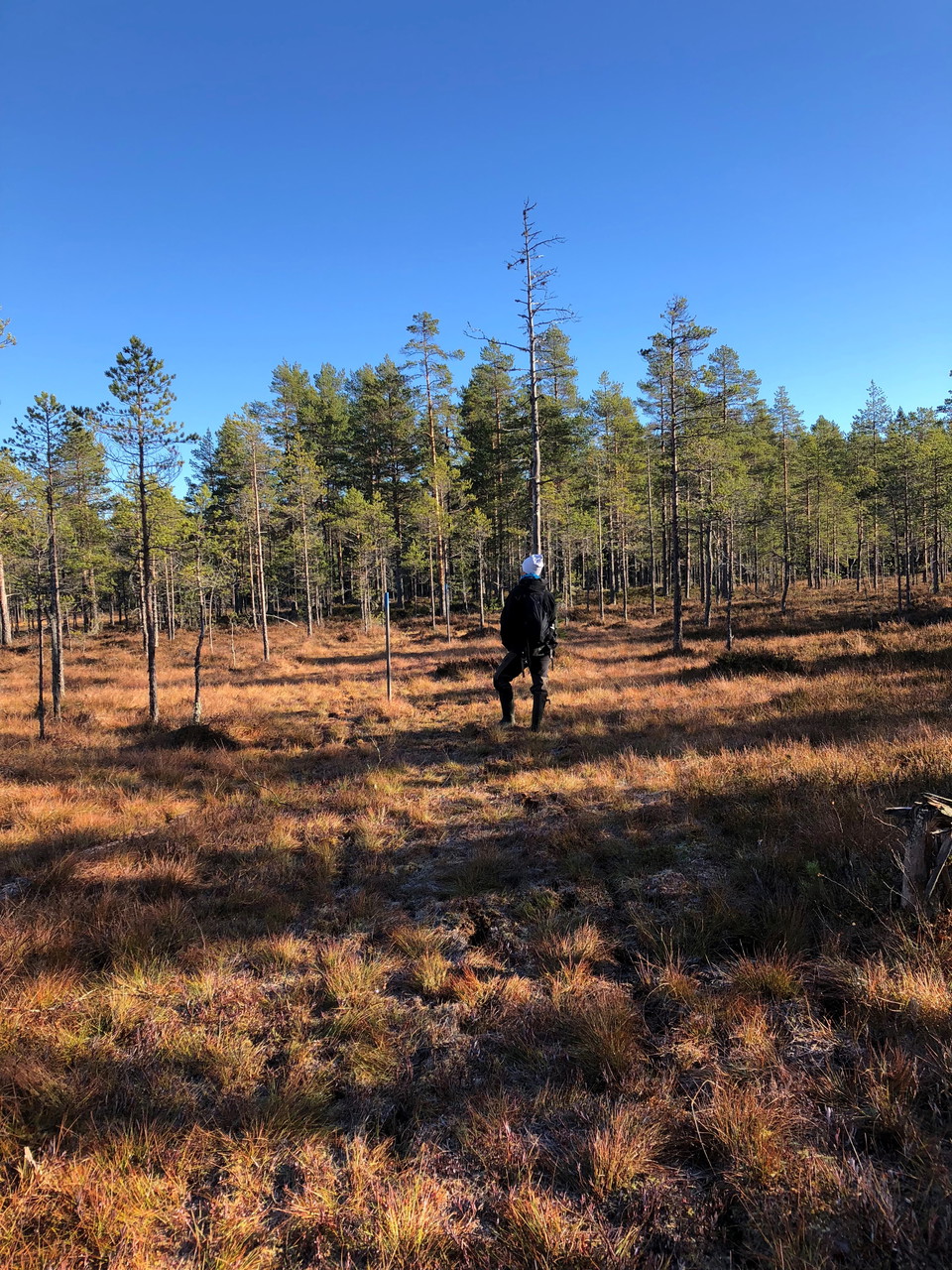
Myr Vildmarksleden -
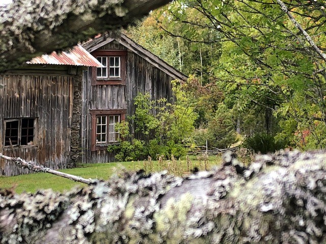
Faxbergs fäbodar -
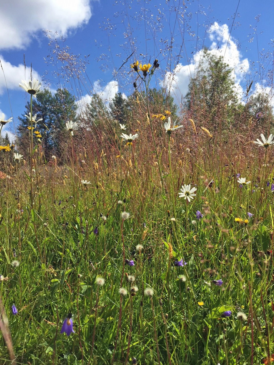
Blomsteräng i Faxberg -
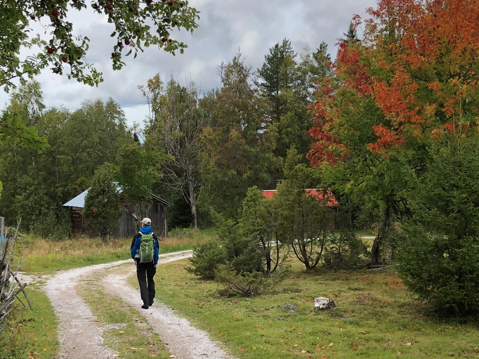
Faxbergs fäbodar -
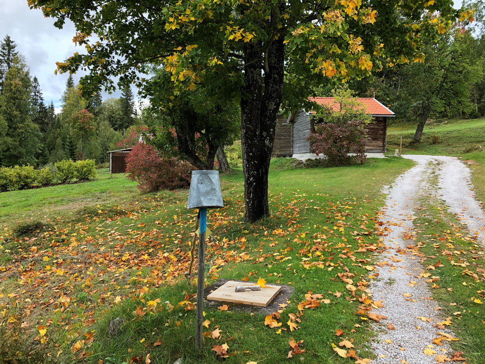
Källa Faxberg -
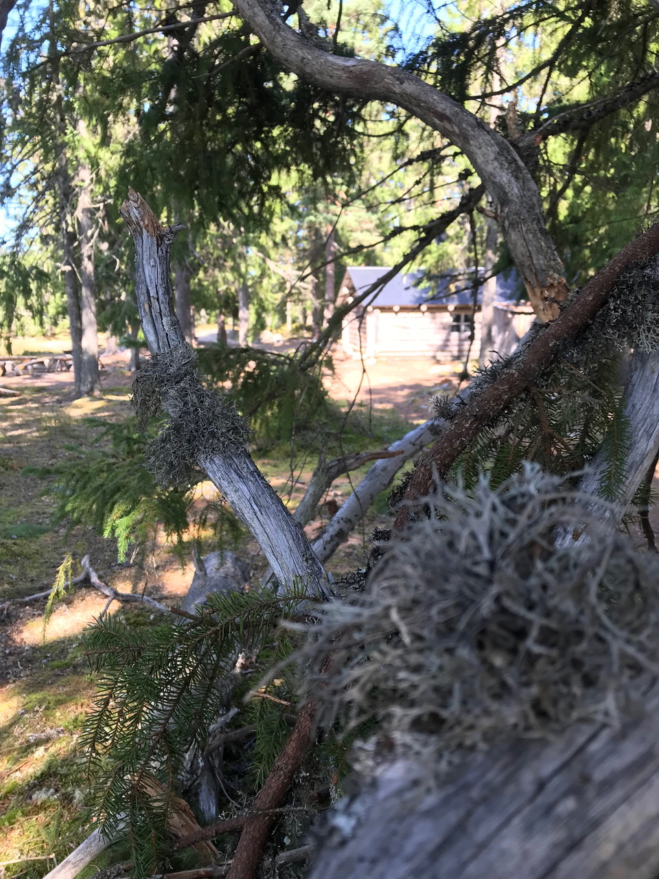
Flymyrskojan -
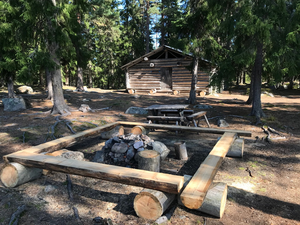
Flymyrskojan -
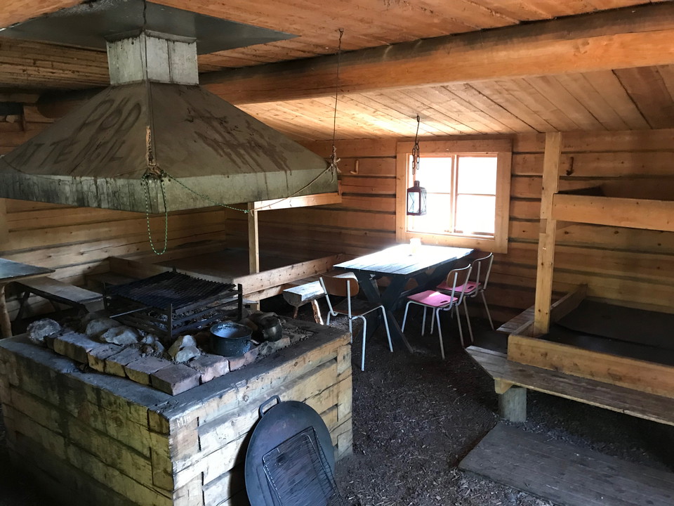
Flymyrskojan inomhus -
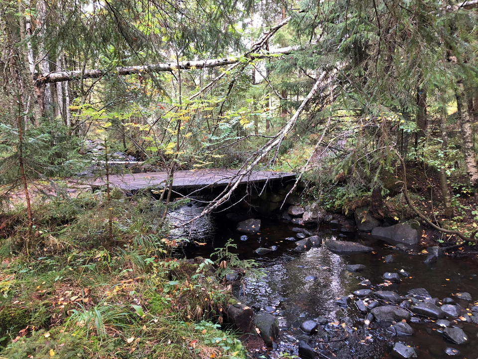
Liholsån -
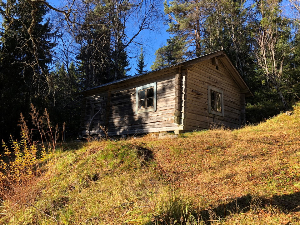
Fänrikbo -
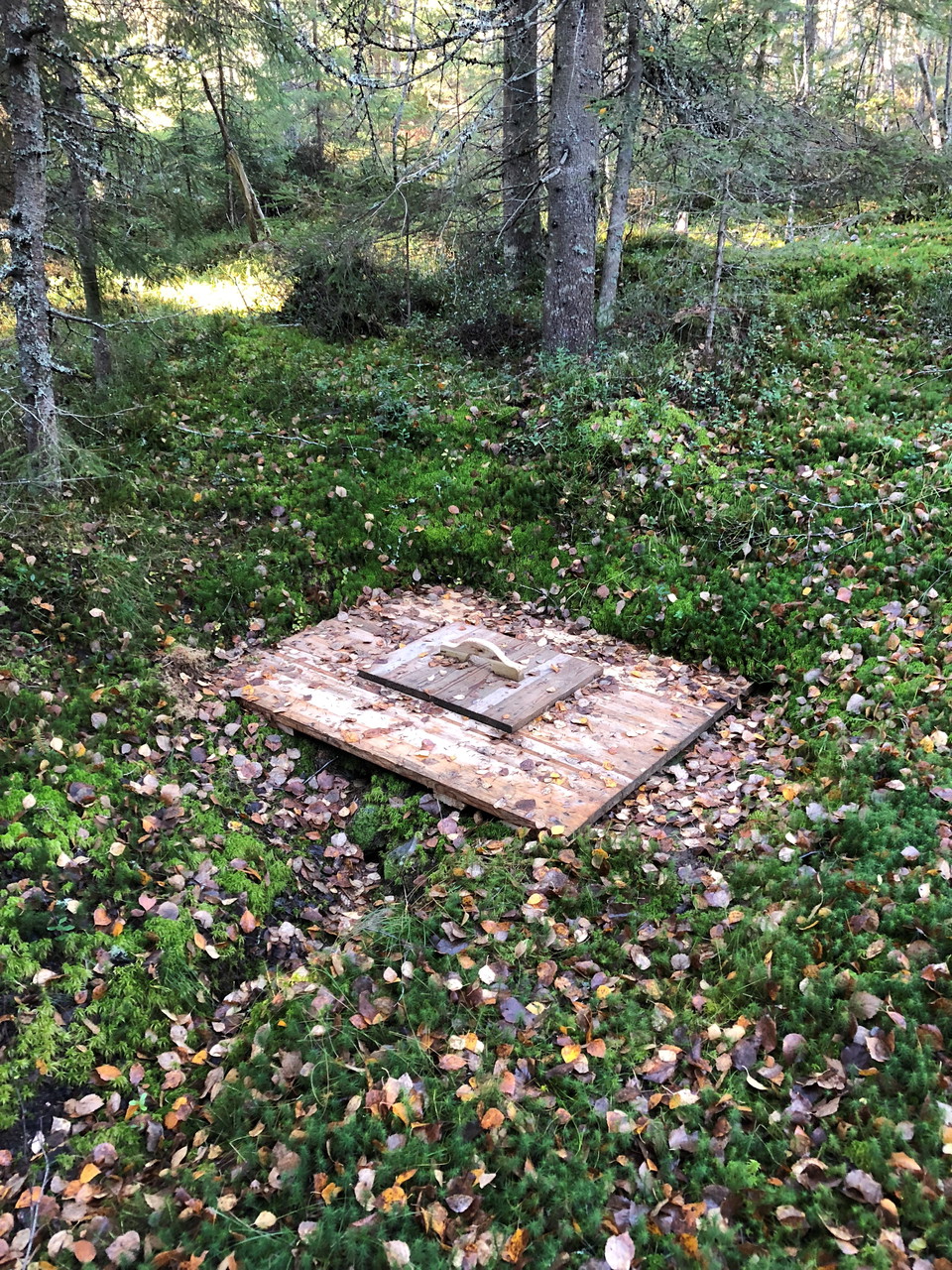
Källa Fänrikbo -
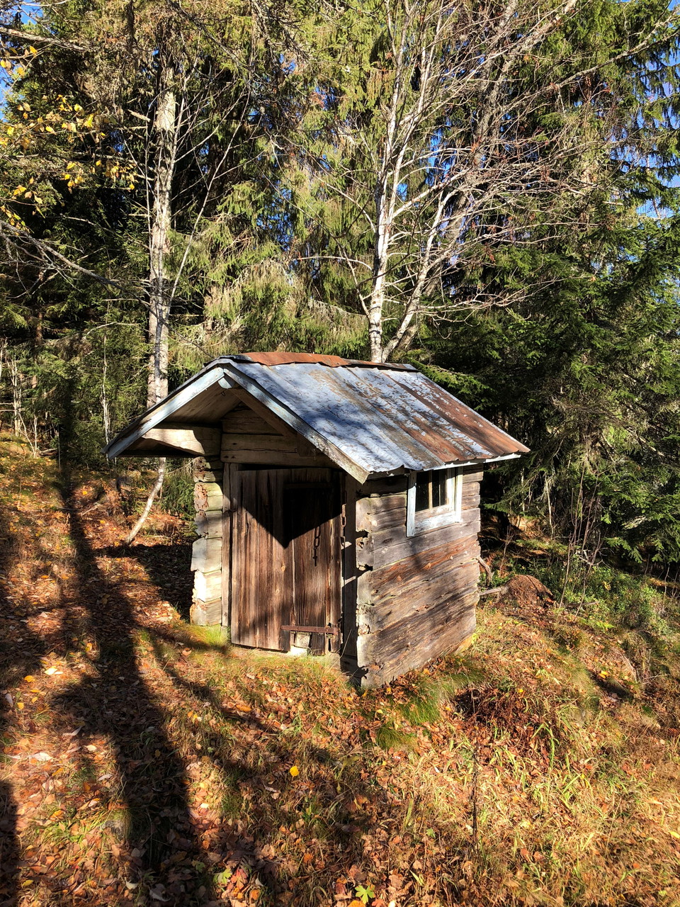
Dass Fänrikbo -
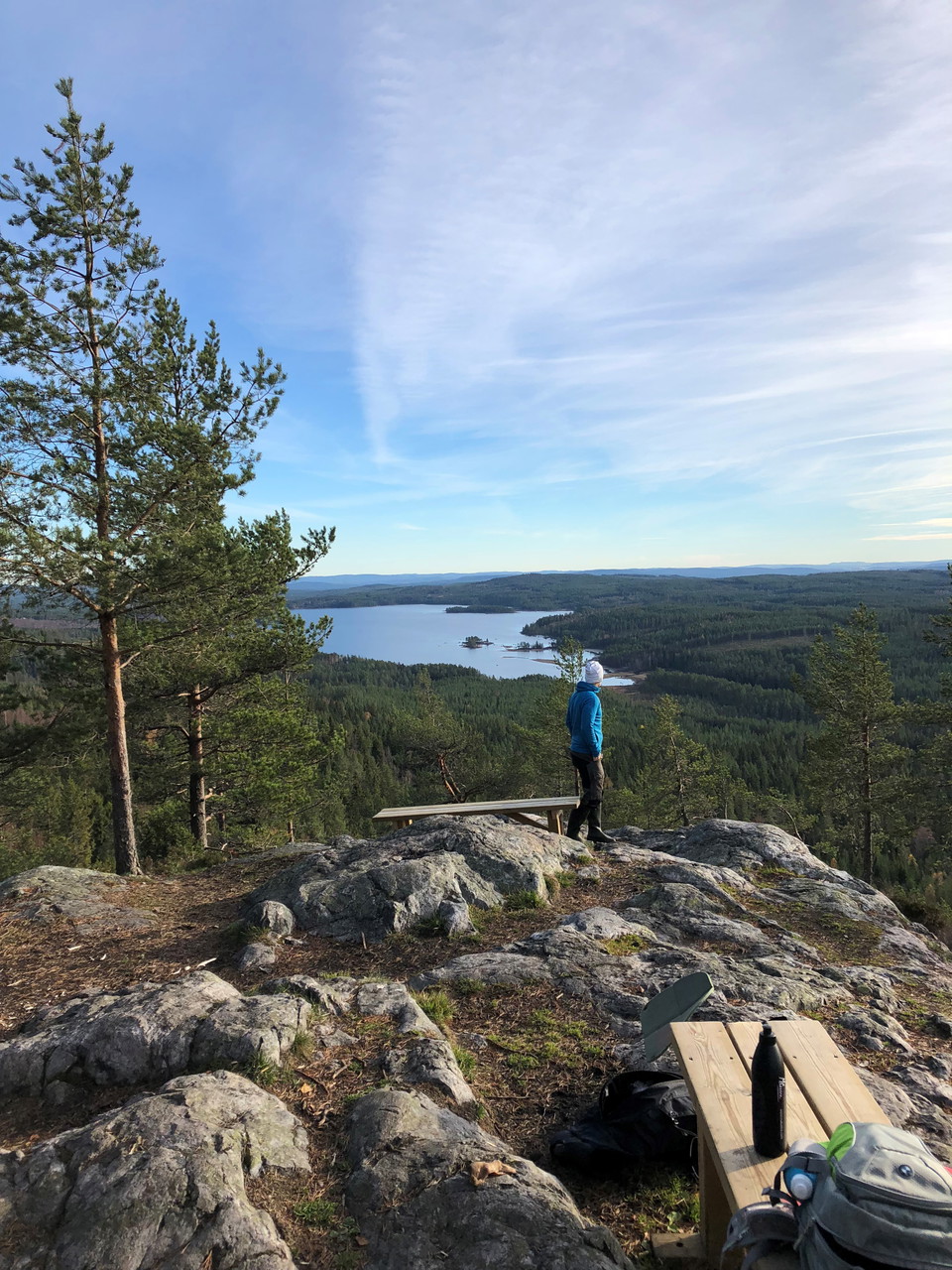
Ärtknubben -
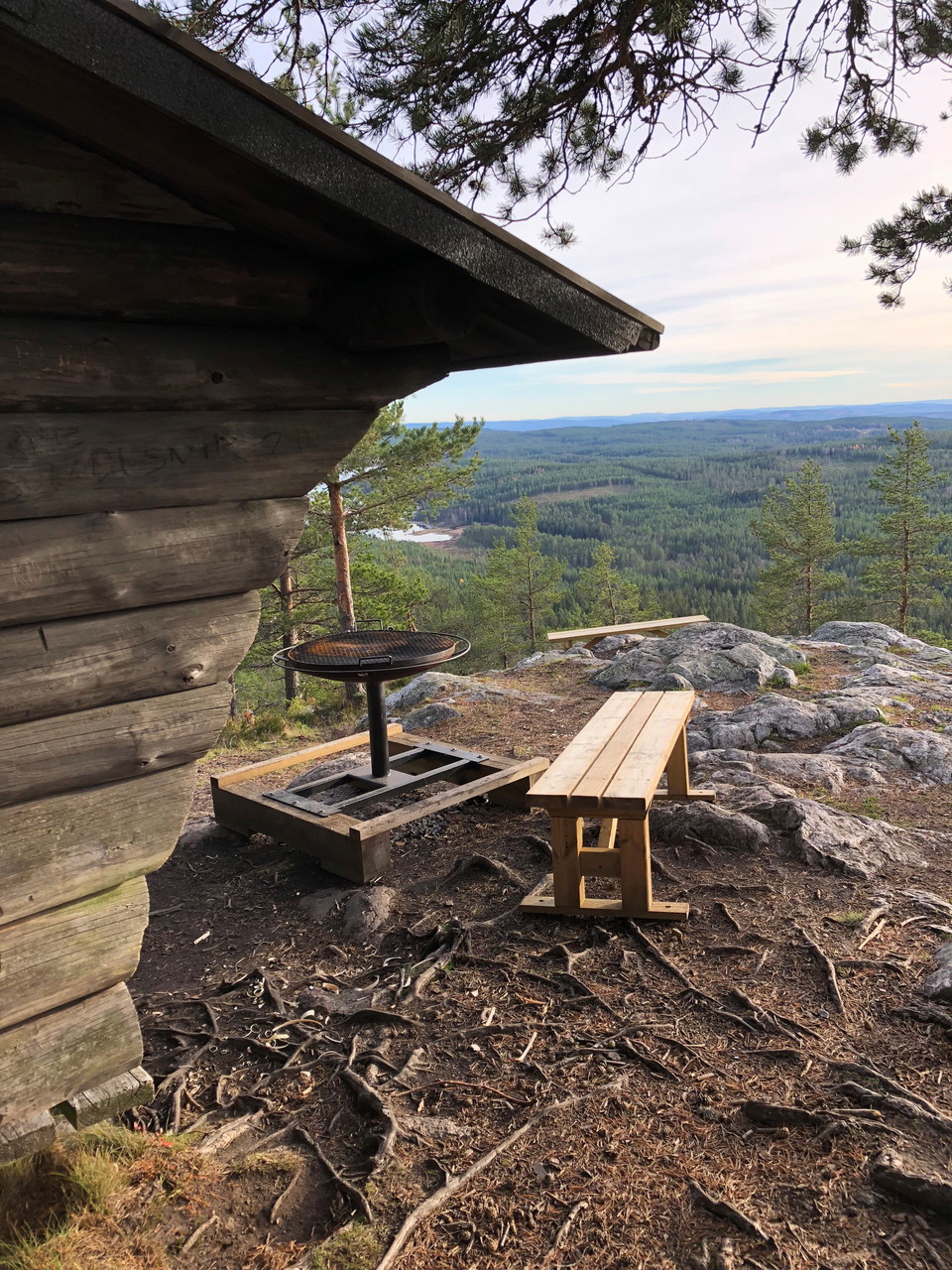
Ärtknubben -
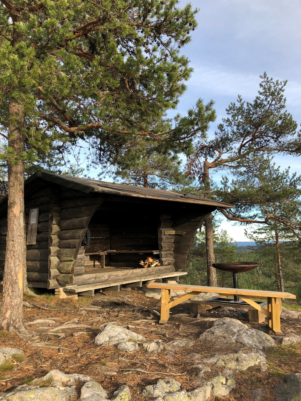
Ärtknubben -
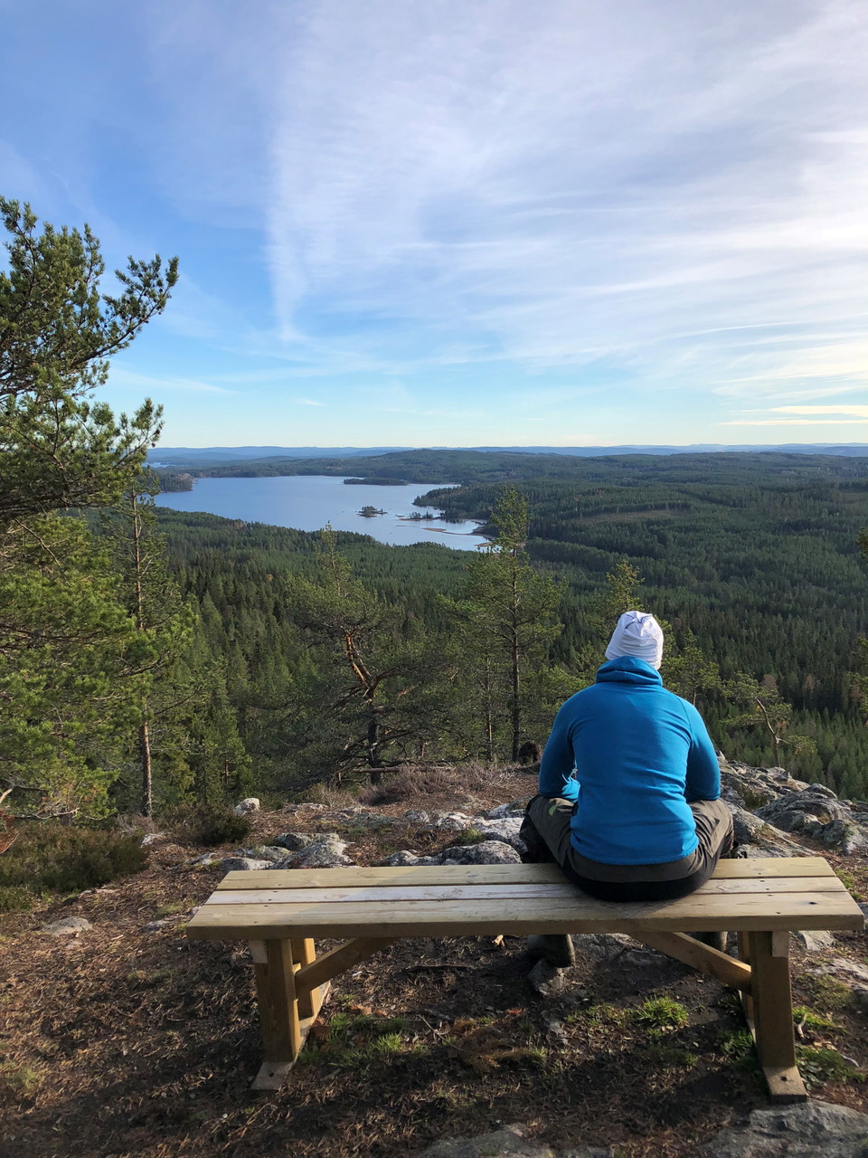
Ärtknubben -
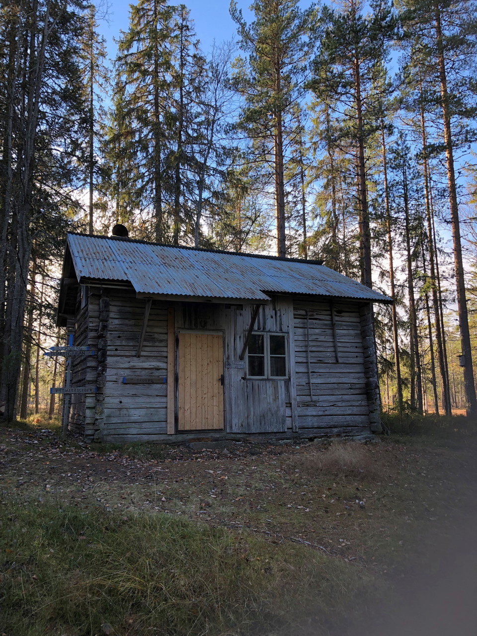
Trugbo -
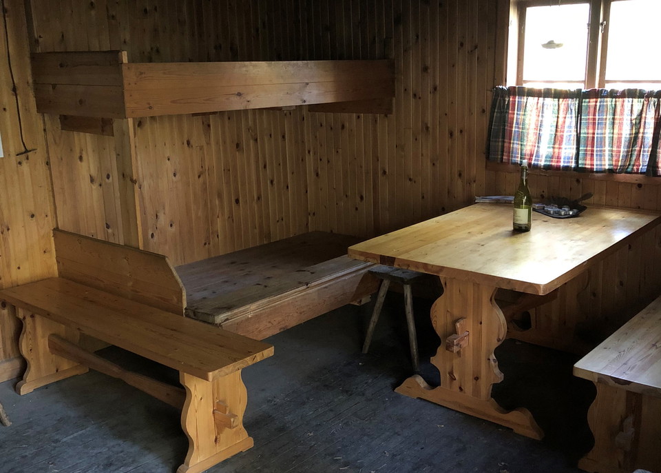
Trugbo innomhus -
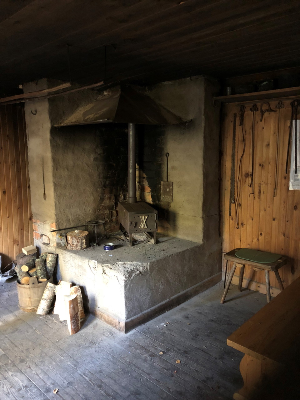
Trugbo innomhus -
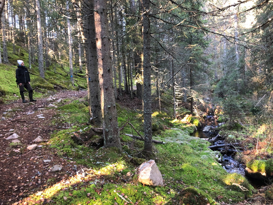
Sågdalsbäcken -
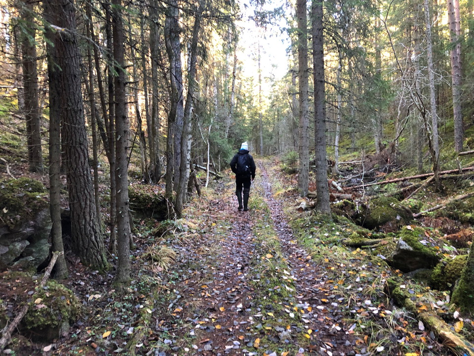
Vildmarksleden i Bjursås
- Hiking
- Trail running
- Near parking
- County: Dalarnas län
- 6625.51 km away from you
Trail details
- Length 35.0 km
- Difficulty Red - demanding
Actions
Currently
Hiking Season 2026
Following Storm Johannes this past winter, there are many windthrown trees along the trail. In some sections, fallen trees across the path may make passage difficult. Due to the large number of trees involved and the many different landowners affected, it will take considerable time before the entire trail is once again fully accessible and free of fallen trees.
Please be aware of potential hazards. Watch out for fallen trees, leaning trunks, hanging branches, and other signs of instability in the forest—especially during windy conditions.
Description
Wander the 35 km long Vildmarksleden, starting above Dössberget at the ellj, where you will experience a lot of animals and nature.
The wilderness trail has been prepared by Falu municipality in collaboration with people from the resort. The basic idea was that the trail would give today's people an opportunity for relaxation in a beautiful natural environment and at the same time give an insight into the fathers' hard living conditions.
The trail offers a magnificent nature experience. Pea bump, a viewing mountain 445 m asl Blazing mountains, sparkling water, miles of forests. The view from Ärtknubben is fantastic, here you can enjoy the view and grill a sausage over open fire. Don't forget binoculars, here is a lot to discover.
You pass the Flymyrskasernen a charcoal hut with fireplace and bunks for overnight stay. Fänriksbo fäbod and Trugbo fäbodstuga which is open to hikers. The cottages after the trail do not have kitchen and bedding.
Activities And Facilities
- Hiking
- Trail running
Accessibility
- Near parking
Facts
The trail is marked with orange trees and gray and blue signposts.
It is also possible to step on the Wilderness Trail at Bjursås camping.
Water can be refilled in Sörskog where there is also a water toilet.
The Wilderness Trail was once created by Falu municipality in collaboration with local people. The basic idea was that the trail would give modern-day people an opportunity to relax in a scenic environment and at the same time provide an insight into the harsh living conditions of the fathers.
Surface
Paths with roots and stones, occasional marsh and wetland depending on the weather. Shorter stretches with gravel roads and asphalt.
Hills
A very hilly trail with steep climbs in places.
Parking
Parking, a toilet and a warming hut are available at the start of the trail.
Directions
From RV 69, turn towards central Bjursås and follow the road for about a kilometer. Then follow the signs for Dössberget and elljusspår. Pass the Dössberget inn and follow the road past Bjursås riding club. Turn left up the hill at the sign elljusspår, where you come to the parking lot and the start of the Vildmarksleden.
Downloads
Contact
Email address
Kontaktcenter Falu kommun
Organization logotype

Please be aware that some of these texts have been automatically translated.
I’ve been here 57










I want to go here 158










Questions & Answers
Ask a question to other Naturkartan users.
Reviews
6 reviews
- 5 :
- 4 :
- 3 :
- 2 :
- 1 :
Users images
No user images yet. Be the first to share!

någon som gått leden nyligen? tänker dels på hur mycket träd det är över leden, samt går jag i tankarna att klara hela leden på en dag? man är ju inte vältränad men har ett pannben, är det görbart då? sen tyckte jag att jag läste att man bara kan fylla på vatten på ett ställe? är det så?
Har inte varit där själv men tittade precis på en video på youtube där han gick leden nu i våras. Han hade väldiga problem att ta sig fram på en hel del ställen. Kan kanske vara till hjälp?https://youtu.be/DKUYAW4JGuk?is=7C9kO5VfjsY9A5H0