
Images
Experience the Kinnekulle Trail on a two-day hike with an overnight stay in a wind shelter
Explore the Kinnekulle Trail on a two-day hike with an overnight stay in a wind shelter. Along the way, you will discover varied natural landscapes, beautiful views, historic surroundings and several of Kinnekulle’s well-known attractions. Here are two suggested hiking routes with different starting points. Both offer the opportunity to explore the Flowering Mountain on foot and spend the night surrounded by nature.
Option 1 – Hällekis, Lasses Grotta and back to Hällekis
Day 1 – Hiking from Hällekis to Lasses Grotta
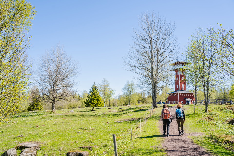
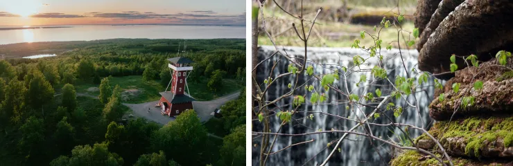
The hike begins in Hällekis and initially follows The Biosphere Trail southwards. From here, the route climbs Kinnekulle towards the mountain’s highest point, Högkullen, where an observation tower offers views across the surrounding landscape.
The route continues through Österplana Hed, with its characteristic alvar landscape, and onwards past the Martorps waterfall. Along the way, you pass through woodland and open fields before reaching Lasses Cave, near Husaby. Here, there is a wind shelter where you can spend the night before continuing your hike the following day.
The day’s stage is approximately 24 km and takes around 6 hours.
For those wishing to stop for food or a coffee break, Kinnekullegården and Källdalens Rosor & Café are among the places along the route.
Overnight stay: Wind shelter at Lasses Grotta.
Day 2 – Hiking from Lasses Grotta to Hällekis
After a night in the wind shelter, the hike continues along the western side of Kinnekulle. You soon reach Blomberg, a charming village with a café, ancient rock carvings and a bathing area.
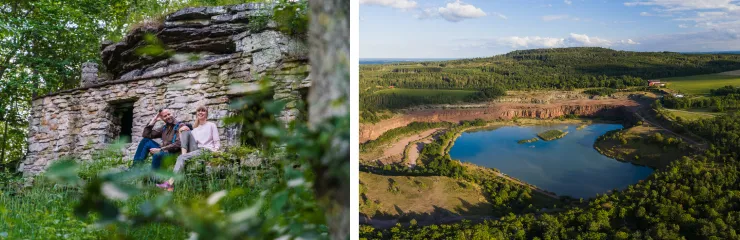
Several of Kinnekulle’s attractions await along the way. The route continues to Råbäcks Harbour and Gröne Skog, where an old limestone quarry offers a distinctive setting. The hike then continues through Munkängarna and past Hellekis Manor before concluding with a stretch along the cliffs at Söckeviken and back to Hällekis.
Along the way, there are opportunities to stop for food and a coffee break at Café på Klostret or Hellekis Kök & Trädgårdscafé.
The day’s stage is approximately 24 km and takes around 6 hours. Upon returning to Hällekis, you will have completed a circular route of approximately 48 km in total over two days.
The starting and finishing point is Hällekis Harbour, where parking is available. You can also travel by the Kinnekulle Line, operated by Västtrafik between Herrljunga and Mariestad, with a stop at Hällekis station.
Option 2 – Blomberg, Högkullen and back to Blomberg
Day 1 – Hiking from Blomberg to Högkullen
The second suggested route begins in Blomberg and takes you through a landscape of meadows, pastures and old limestone quarries. Along the way, you pass several manor house settings and enjoy views at Stora Stenbrottet and Söckeviken.
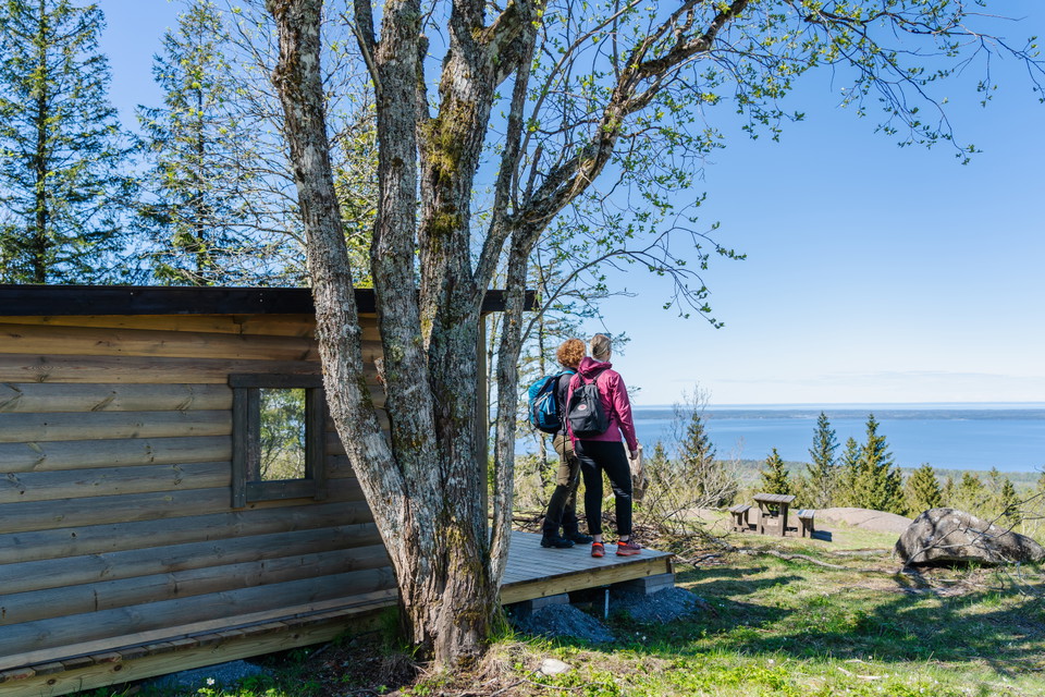
The route then climbs towards Kinnekulle’s highest point, Högkullen. Here, you can spend the night in a wind shelter or tent just west of the Kinnekulle observation tower, towards Stora Salen. The location offers beautiful views across the landscape and provides an opportunity to end the day surrounded by nature.
The day’s stage is approximately 25 km and takes around 7 hours.
Along the way, there are opportunities to stop for food and a coffee break at places such as Café på Klostret, Hellekis Kök & Trädgårdscafé or Utsiktens Kaffestuga.
Overnight stay: Wind shelter or tent just west of the Kinnekulle observation tower, towards Stora Salen.
Day 2 – Hiking from Högkullen to Blomberg
The second day begins with a descent down the mountain and continues through the open alvar landscape of Österplana Hed. Along the way, you pass Martorpsfallet waterfall and Lasses Grotta before the trail continues through the beautiful Halla Nature Reserve and onwards towards Blomberg.
For those wishing to take a detour, Husaby is just over one kilometre from the trail. Here, several historic attractions await, including Husaby Church with its twin towers and the spring where, according to tradition, Olof Skötkonung was baptised.
During the day, there are opportunities to stop for food and a coffee break at Kinnekullegården or Källdalens Rosor & Café.
The day’s stage is approximately 23 km and takes around 6 hours. The hike ends in Blomberg, after a total of approximately 48 km over two days.
Parking is available at Blomberg station. You can also travel by the Kinnekulle Line, operated by Västtrafik between Herrljunga and Mariestad, with a stop at Blomberg station.
Good to know before your hike
The Kinnekulle Trail passes through a hilly landscape with varied terrain. The route consists mainly of footpaths, although some sections follow gravel roads. Although the trail offers many wonderful nature experiences, the changes in elevation mean that the hike can be more challenging than it may initially appear. A good level of general fitness is recommended for anyone planning to hike the entire trail.
Categories
- Hiking
