New!

Now you can share photos on Naturkartan! 📸

Read more
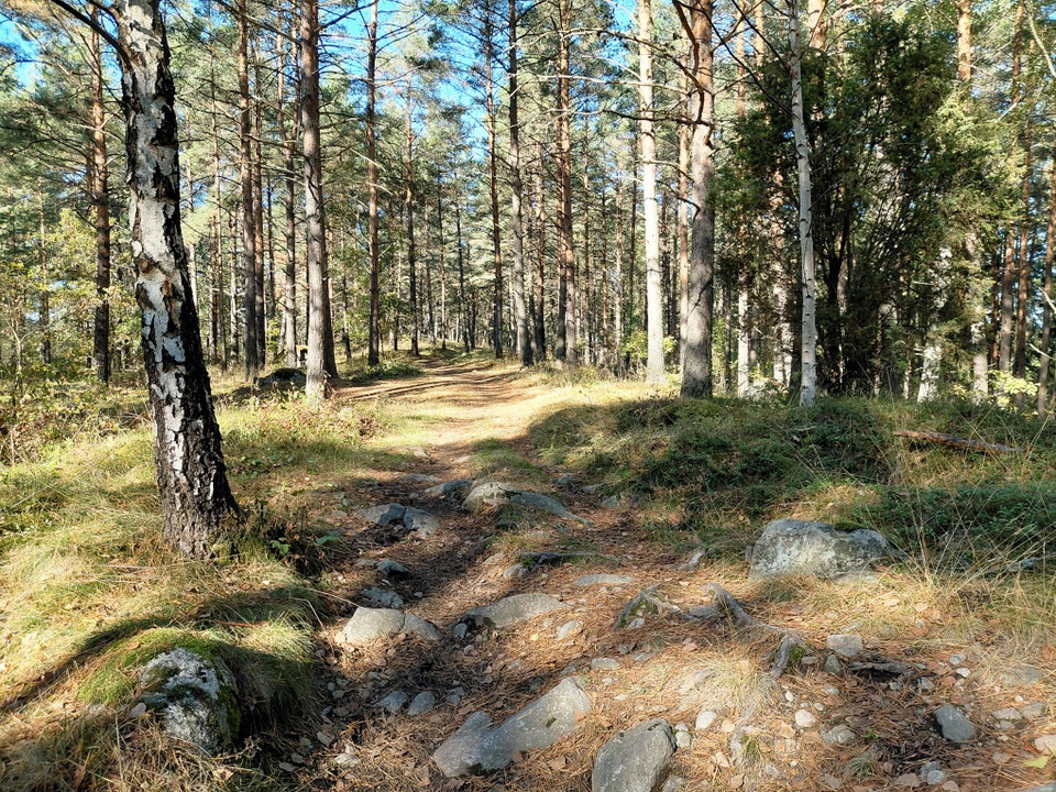
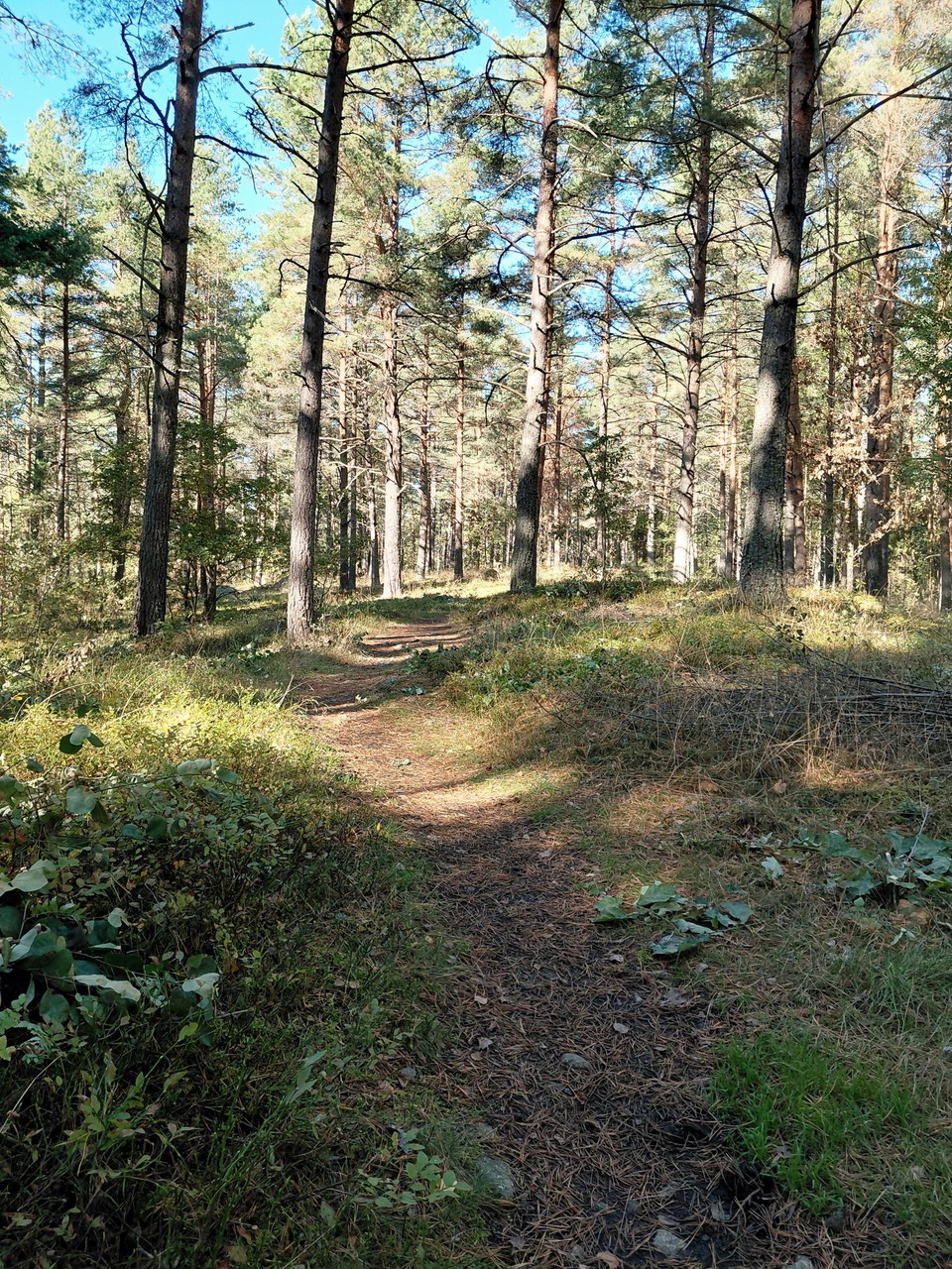
  • Stig med rötter i tallskog
    Photo: Anett Wass
  • Informationstavla längs stig.
    Photo: Ylva Granath
  • Stig som går uppför en sluttning.
    Photo: Ylva Granath
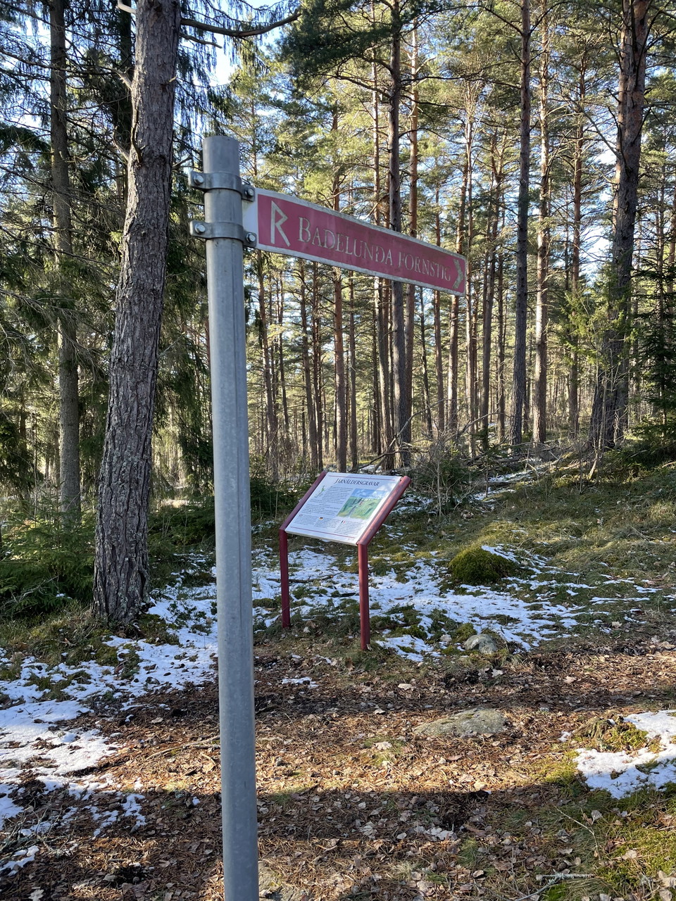
  • Vägvisare och informationsskylt i skogen
    Photo: Anett Wass
  • Stig med rötter i tallskog
    Photo: Anett Wass
  • Stig med rötter i ett grönskande landskap.
    Photo: Ylva Granath
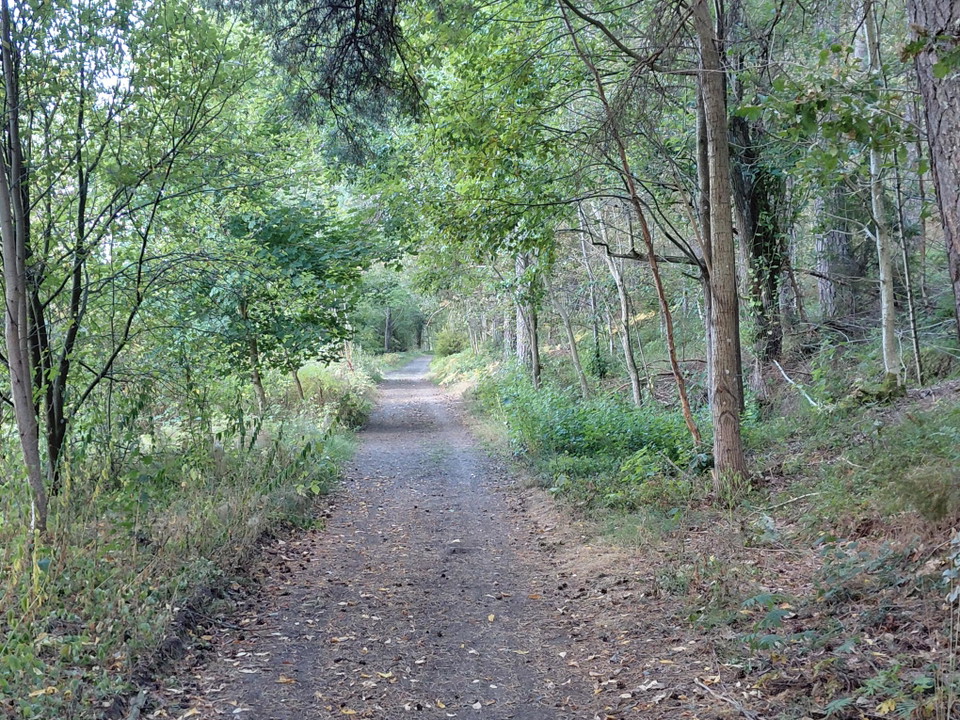
  • Grusad gångväg genom skog
    Photo: Anett Wass

Vandringsled, Badelunda

  • Hiking
of 5 stars

Trail details

  • Length 2.7 km

Actions

  • Directions

Description

In Badelunda nature reserve there are various paths and small roads to walk around on. They are part of the system of paths in Badelunda and at Anundshög. For example, part of the Badelunda fornstig trail runs through the nature reserve. There are information boards along the Badelunda fornstig trail, which tell the history of the area. Horseback riding is also permitted on some trails.

The City of Västerås is responsible for Badelunda Nature Reserve, telephone number 021-39 00 00, e-mail kontaktcenter@vasteras.se.

Weather forecast (at 12:00)

Loading…

Get here by public transport

Activities And Facilities

  • Hiking

Contact

Address

Kontakta oss via kontaktcenter

021 - 39 00 00

kontaktcenter@vasteras.se

Please be aware that some of these texts have been automatically translated.

I’ve been here 27

I want to go here 28
Reviews

—

9 reviews

of 5 stars

5 :
0.0%
4 :
0.0%
3 :
0.0%
2 :
0.0%
1 :
0.0%

En del hästskit, vilket var förväntat. Däremot var det en hel del träd som fallit över stigarna, vilket gjorde det desto svårare att ta sig runt.

Trevlig kvällspromenad! Härligt ljus och intressant information. Det var lerigt och hästbajs delvis, men vi hade bra skor så det var OK.

Questions & Answers

Ask a question to other Naturkartan users.

Users images

Share your photos of the place!

Naturkartan

Open this in the app