
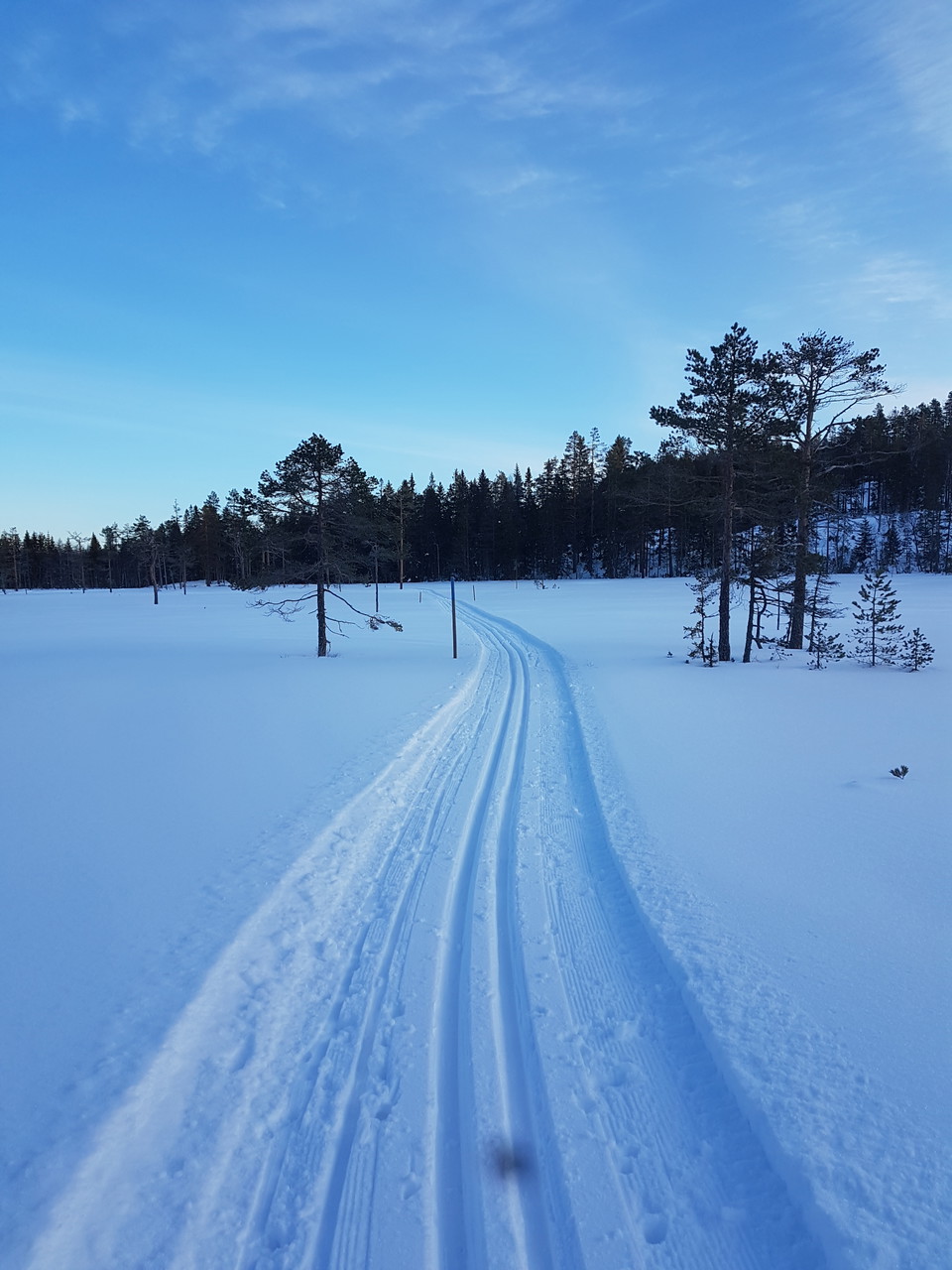
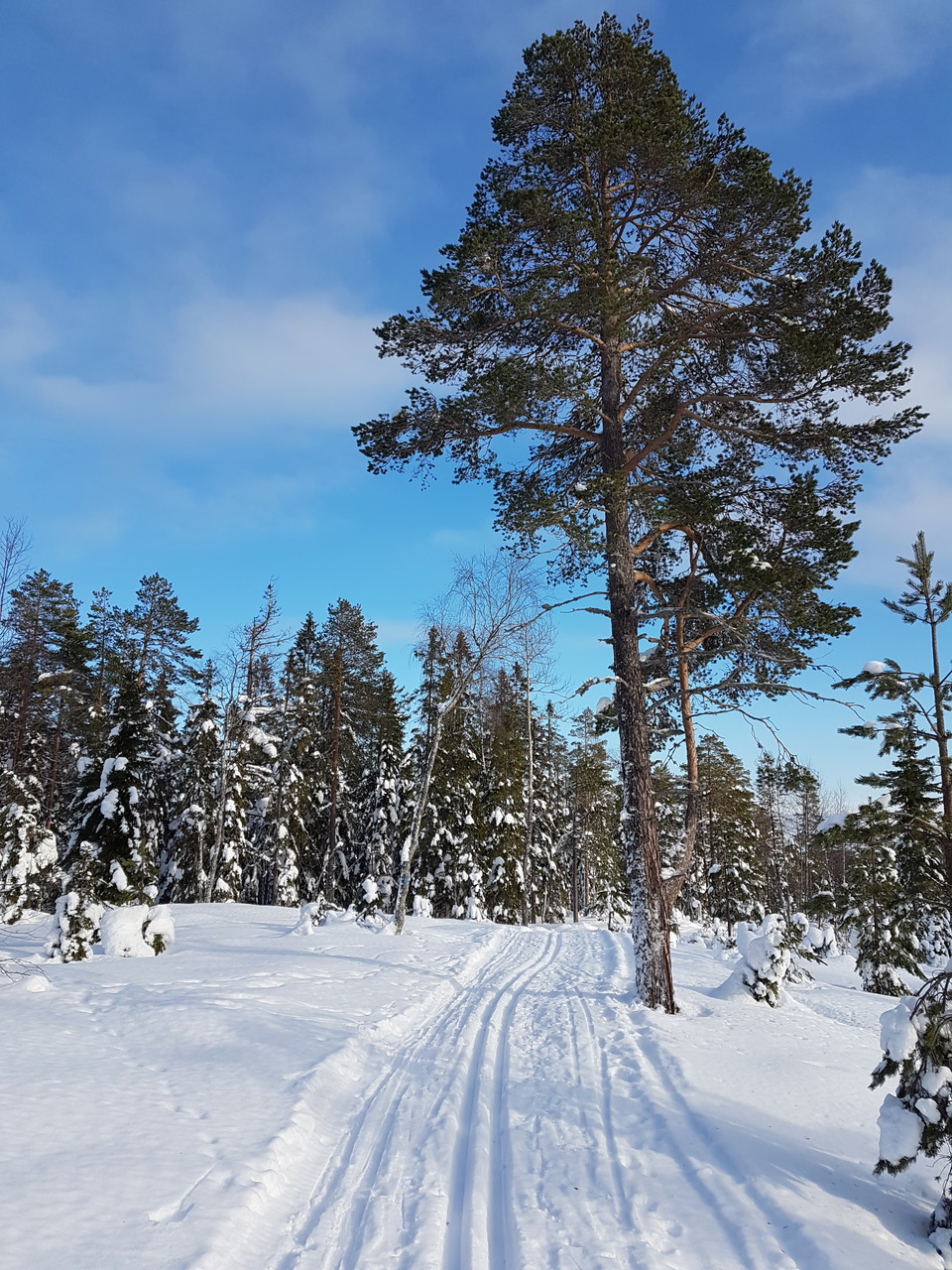
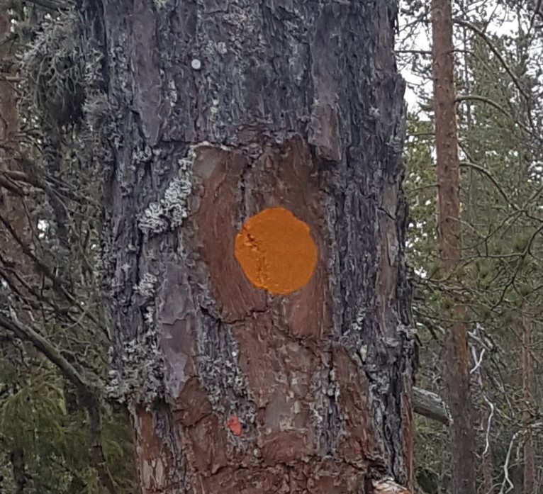
• Öppna myrmarker
    Öppna myrmarker
  • Gott om gamla tallar längs spåret
    Gott om gamla tallar längs spåret

Svanängsspåret

  • Skiing
of 5 stars

Trail details

  • Length 11.1 km

Actions

  • Directions

Description

Forest tracks to Svanängsstugan. The nearest road (to the left) is steeper than the long road. The trail winds over rocky stables and open bogs up to Svanängsstugan, which was built in the 70s by Friluftsfrämjandet Njurunda. But it is a steep climb with a height difference of 200 meters from Medskogsbron to the top. The descent is really fun, almost exciting on an icy spring morning. The trail is not adapted for hiking.

Weather forecast (at 12:00)

Loading…

Get here by public transport

Activities And Facilities

  • Skiing

Please be aware that some of these texts have been automatically translated.

I’ve been here 1

I want to go here 1
Reviews

—

0 reviews

of 5 stars

5 :
0.0%
4 :
0.0%
3 :
0.0%
2 :
0.0%
1 :
0.0%

Questions & Answers

Ask a question to other Naturkartan users.

Users images

Share your photos of the place!

Naturkartan

Open this in the app