
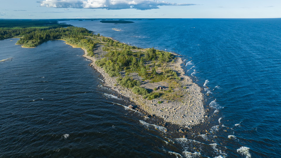
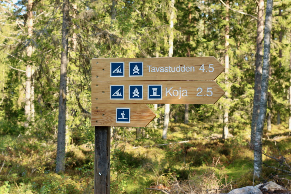
Vandringsled Tavasten
- Hiking
- County: Västerbottens län
- 6696.77 km away from you
Trail details
- Length 4.6 km
Actions
Description
Activities And Facilities
- Hiking
Directions
Drive via Täfteå to Rovögervägen. After about 9 kilometers, turn left towards Laxögern. After barely 100 meters, turn right towards Bådelögern, here is a parking and trailhead.
Contact
Email address
Länsstyrelsen Västerbotten
Organization logotype

Please be aware that some of these texts have been automatically translated.
I’ve been here 29








I want to go here 53







Reviews
4.3
1 review
- 5 :
- 4 :
- 3 :
- 2 :
- 1 :
Questions & Answers
Ask a question to other Naturkartan users.
Users images
Share your photos of the place!

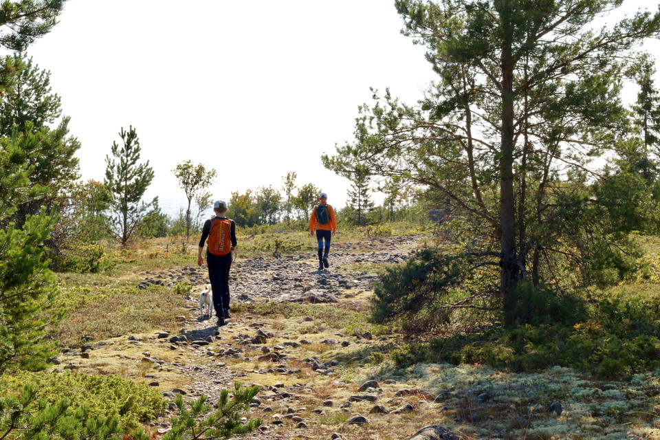
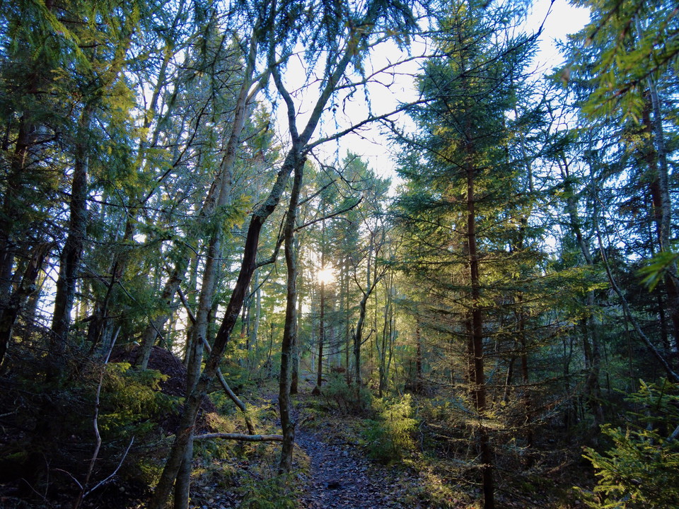
Trevlig natur med tallskog, blandskog, öppna fält, havsutsikt mm. Fin välmarkerad vandringsled med intressanta vyer. Lämplig dagstur.