





-
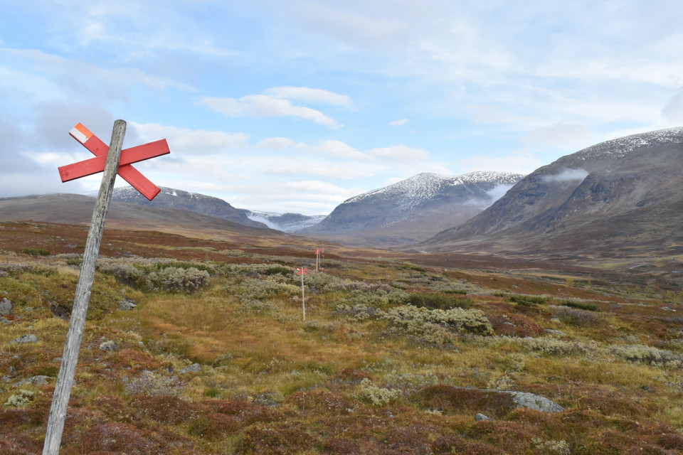
Photo: Andreas Karlsson
Västra Syterbäcken - Blå vägen
- Hiking
- County: Västerbottens län
- 6357.25 km away from you
Trail details
- Length 4.1 km
Actions
Description
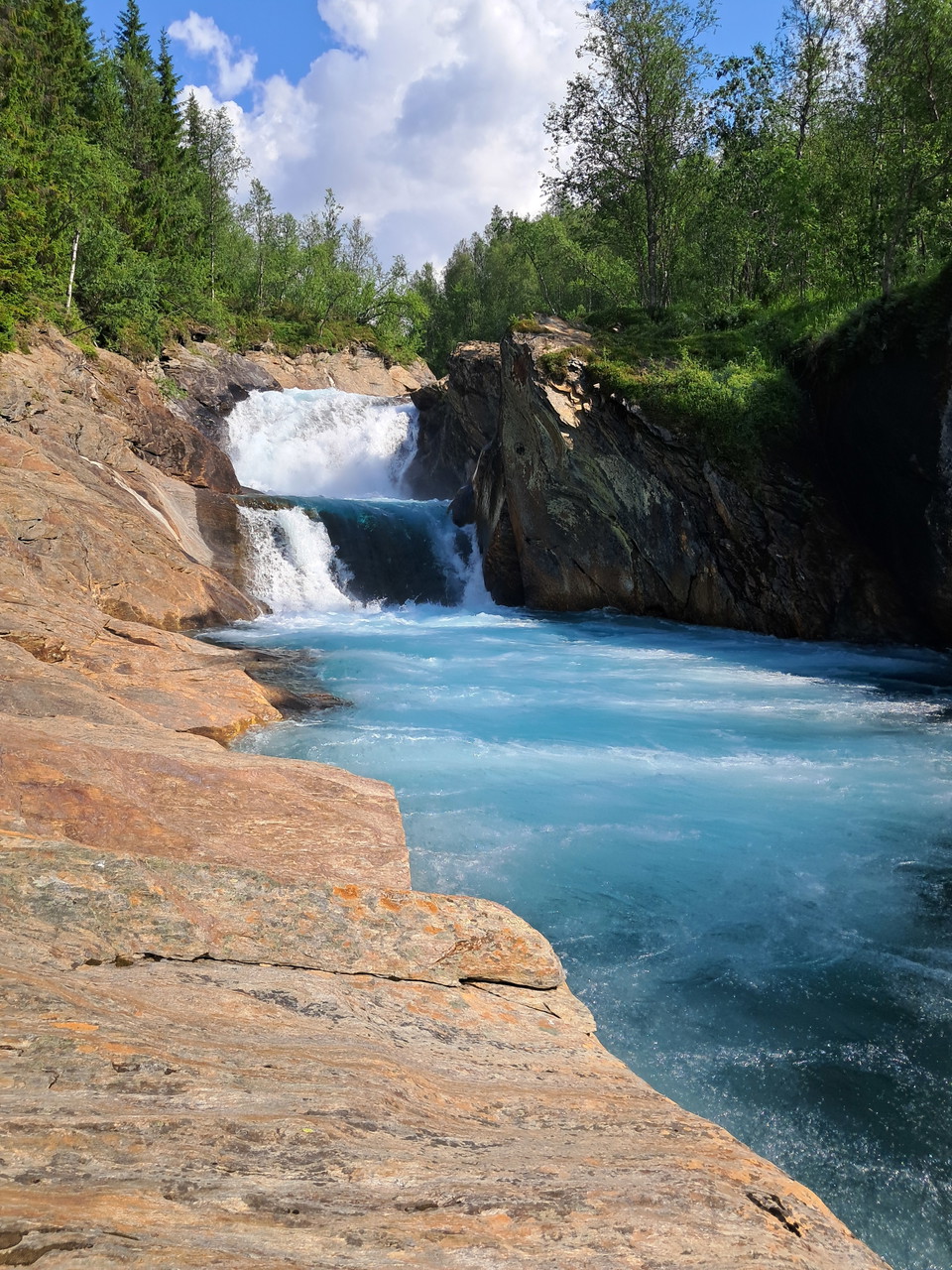
The trail starts at Syterbäckens roaring waterfall. The first kilometers go through lush birch forest. In some places larch and Douglas fir grow. They are a remnant of an experiment conducted in the 1960s. Once up on the mountain, the landscape opens up with great views towards Viter- and Syterskalet. The trail connects to the King's Trail at the suspension bridge over Syterbäcken after just over 4 km. Here it is nice to take a break and there is a toilet on site.
Activities And Facilities
- Hiking
Contact
Email address
Länsstyrelsen Västerbotten
Organization logotype

Please be aware that some of these texts have been automatically translated.
I’ve been here 9
I want to go here 8
Questions & Answers
Ask a question to other Naturkartan users.
Reviews
0 reviews
- 5 :
- 4 :
- 3 :
- 2 :
- 1 :
Users images
