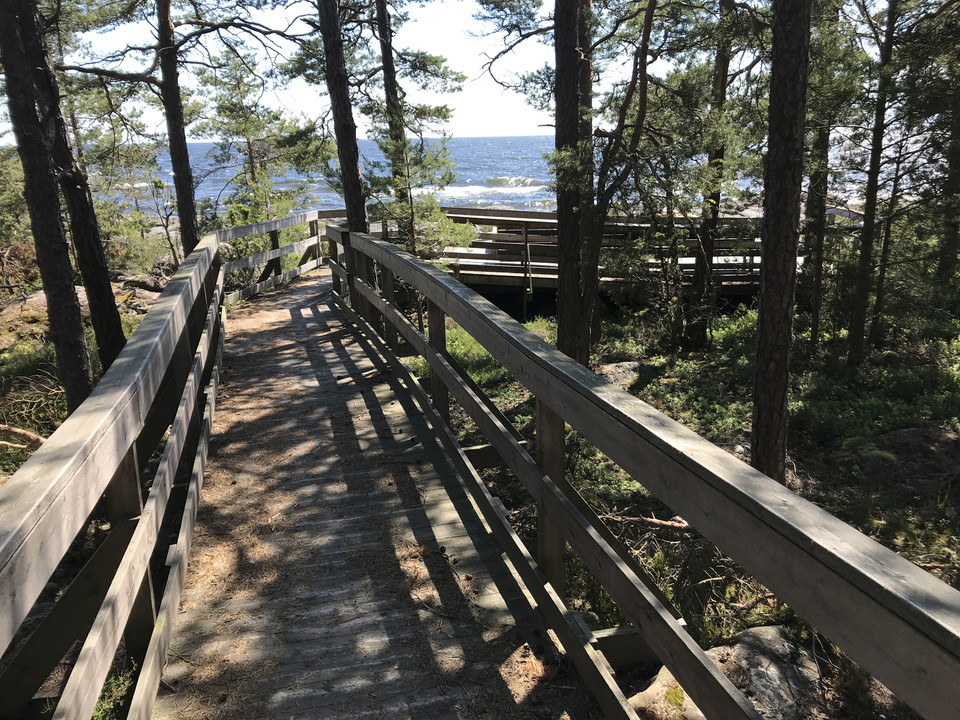
• Från Ångbåtsbryggan leder en spång över till den södra sidan av ön
    Från Ångbåtsbryggan leder en spång över till den södra sidan av ön
    Photo: Länsstyrelsen Värmland
  • På sydsidan av ön går leden över renspolade berghällar
    På sydsidan av ön går leden över renspolade berghällar

Led Västra Långholmen

  • Hiking
of 5 stars

Trail details

  • Length 2.0 km
  • Difficulty Blue — medium

Actions

  • Directions

Description

The trail runs partly through forest and over rocks on the south side of Västra Långholmen. In the east, the trail follows the path built from the steamship pier on the south side. Partly winding and uneven surface.
Orange marks on trees and stone cairns

Weather forecast (at 12:00)

Loading…

Get here by public transport

Activities And Facilities

  • Hiking

Contact

Email address

Maila Länsstyrelsen Värmland

Please be aware that some of these texts have been automatically translated.

I’ve been here

I want to go here 1

Reviews

—

0 reviews

of 5 stars

5 :
0.0%
4 :
0.0%
3 :
0.0%
2 :
0.0%
1 :
0.0%

Questions & Answers

Ask a question to other Naturkartan users.

Users images

Share your photos of the place!

Naturkartan

Open this in the app