
-
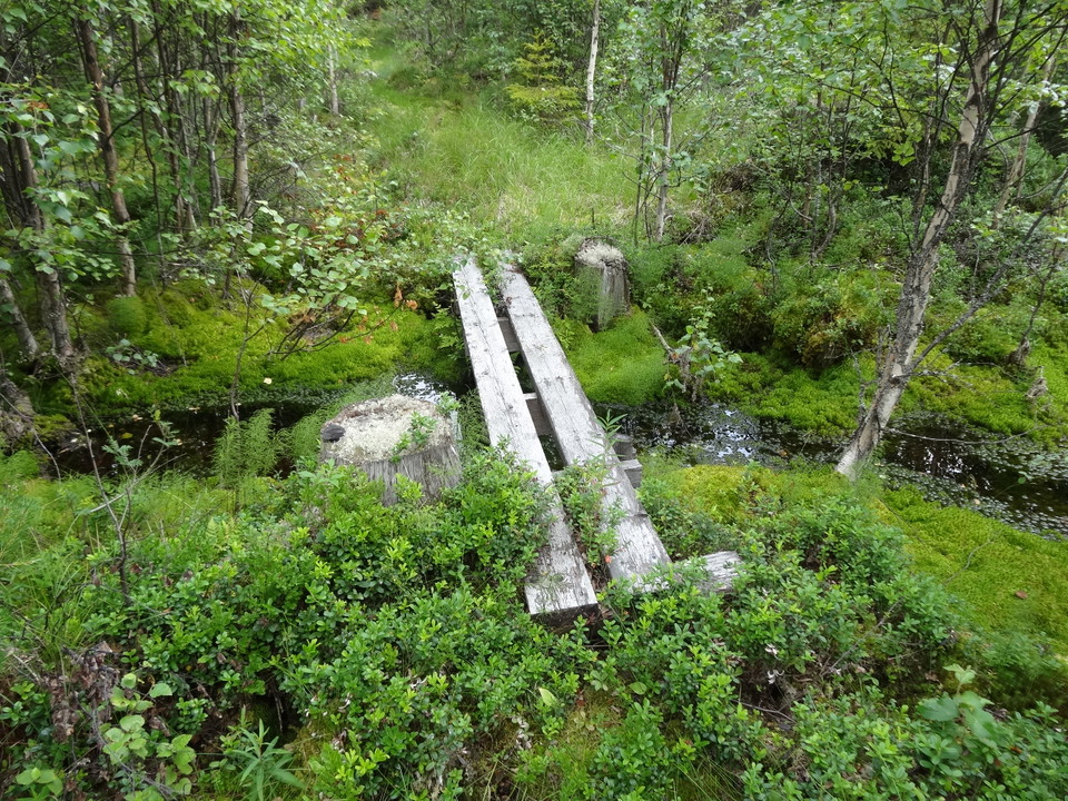
Spången hjälper dig torrskodd över bäcken.
Photo: Länsstyrelsen Värmland -
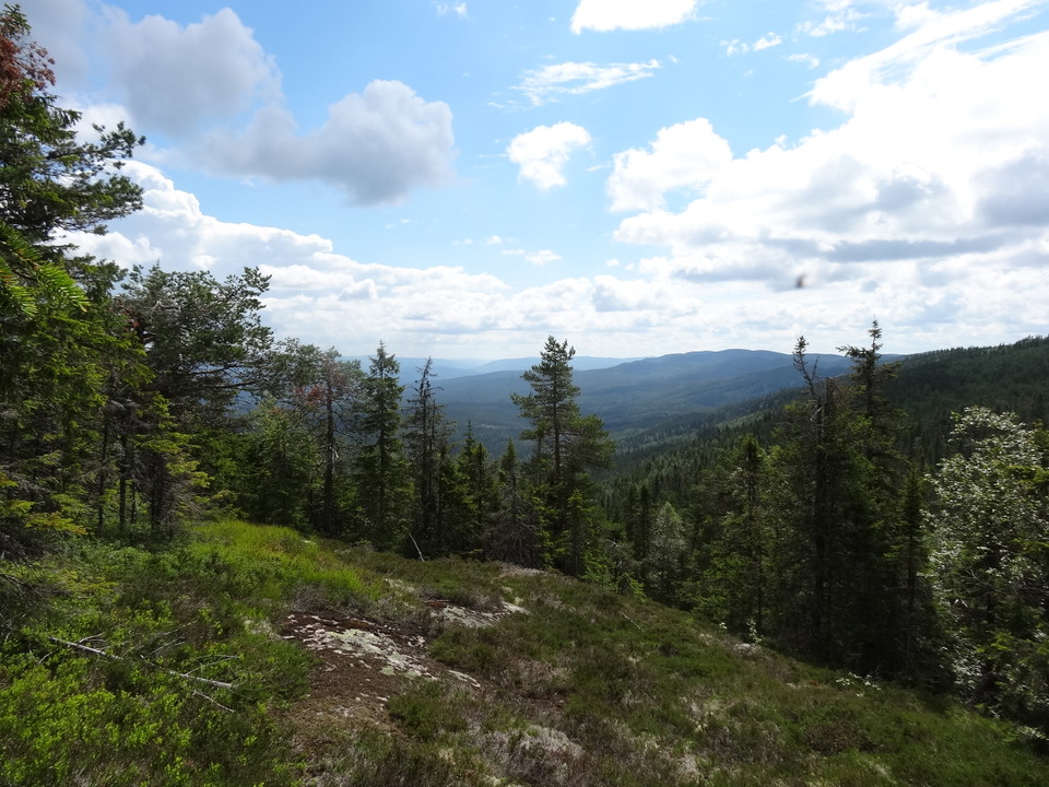
Vacker utsikt.
Photo: Länsstyrelsen Värmland
Led Enberget
- Hiking
- County: Värmlands län
- 6488.27 km away from you
Trail details
- Length 4.6 km
- Difficulty Red — demanding
Actions
Description
Activities And Facilities
- Hiking
Contact
Email address
Maila Länsstyrelsen Värmland
Organization logotype
Please be aware that some of these texts have been automatically translated.
I’ve been here 1

I want to go here 3


Questions & Answers
Ask a question to other Naturkartan users.
Reviews
1 review
- 5 :
- 4 :
- 3 :
- 2 :
- 1 :
Users images
No user images yet. Be the first to share!

Fantastisk vandring med underbar utsikt på toppen. En timme upp och en timme ner… Fikastunden på toppen blev xtra lång för att njuta av ”hela” Värmlands urskog:)