Vallentuna kommun
Välkommen till Vallentunas natur och kultur!

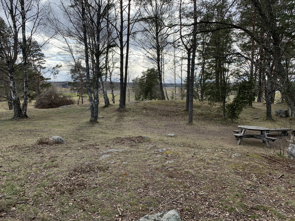
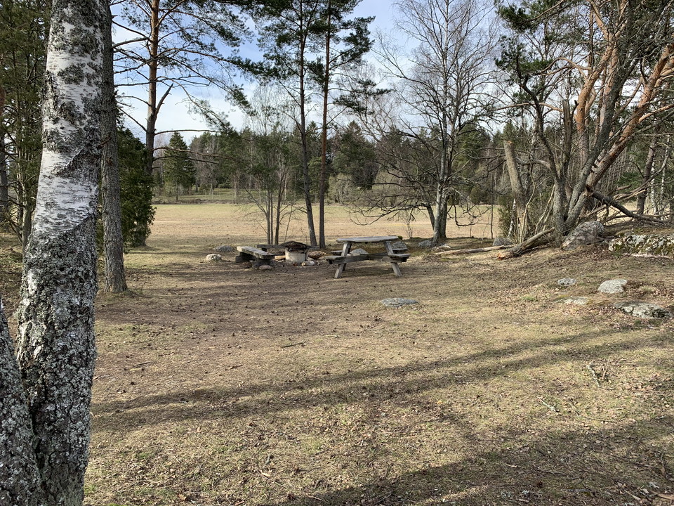
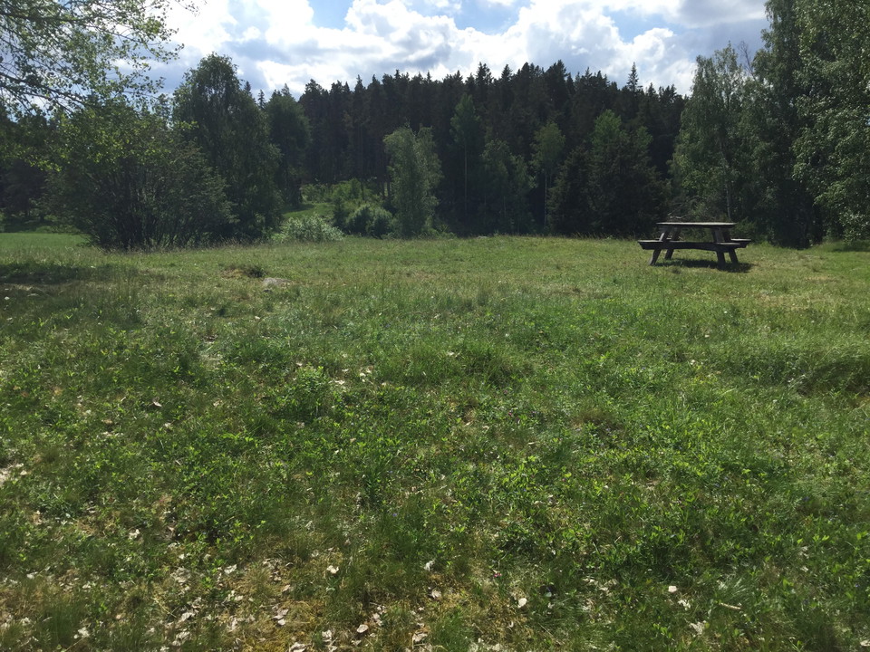
Camping is allowed for a maximum of two consecutive nights within this designated camping area. This beautiful campsite is shaded by trees and offers a cool sanctuary on hot summer days. There are picnic tables and a fire pit. Bring your own firewood if you'd like to make a fire.
Protected since: 1982
Size: 565 hectares of which water 1.8 hectares
Character: wetland, lake, agricultural landscape
Municipality: Vallentuna
Landowners: Stockholm city, Vallentuna municipality, state and private
Administrator: County Administrative Board
Form of protection : nature reserve
Other: Natura 2000 area Angarn SE110034
In order to protect the Angarnssjöängen nature reserve, please respect the following rules. Within the reserve, it is forbidden to:
The complete reserve rules and proclamation can be found [on the County Administrative Board's website (in Swedish)] (https://www.lansstyrelsen.se/stockholm/besoksmal/naturreservat/angarnssjoangen.html).
Länsstyrelsen i Stockholm
Please be aware that some of these texts have been automatically translated.



Ask a question to other Naturkartan users.
0 reviews
No user images yet. Be the first to share!