Länsstyrelsen Skåne län
Välkommen till Skånes fantastiska natur!

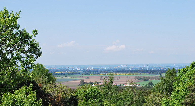
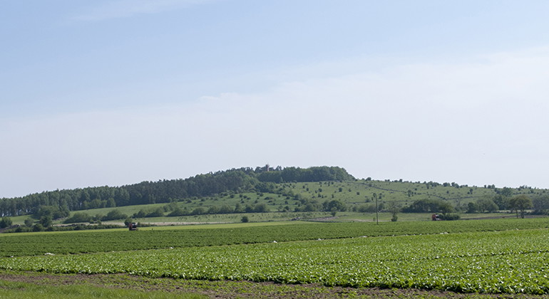
Fjälkinge hill rises about 100 meters above the surrounding Kristianstad plain. From the top you have a magnificent view and on a clear day you can see all the way to Stenshuvud.
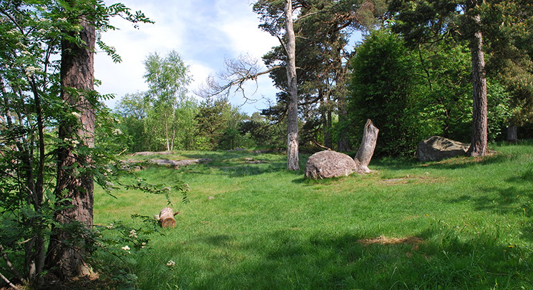
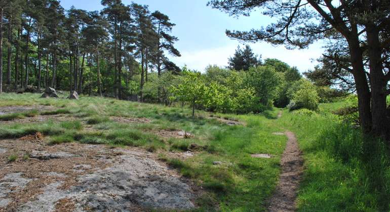
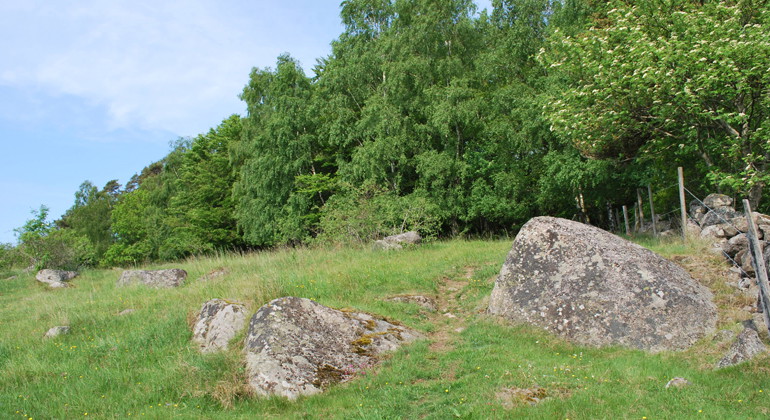
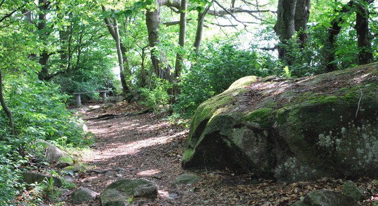
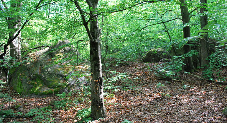
On the hill itself grows pine but also a lot of beech, oak, birdberry and other deciduous forest. A well-trodden path leads around the hill, at the edge of the forest out towards the surrounding open fields. In early summer, the walk is accompanied by an eager bird choir. If you don't want to climb the steep and rocky path to the top, you still get many beautiful views on your way around.
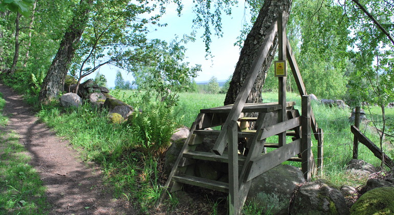
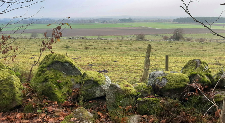
You can also go out into the species-rich pastures around the hill. Along the southern part of the trail there are several fence crossings. Out here, the wood anemone blooms abundantly in spring, to be replaced later by almond blossom, wood thyme and wood carnation.
At the edge of the hill, two natural cold springs flow out, one in the forest to the northwest and the other in the open pasture to the south. The one in the south is still used to water the grazing animals.
The Fjälkinge hill is an interesting example of how processes from different periods in the earth's history have left their mark on today's landscape. Fjälkinge backe is a so-called residual mountain of gneiss granite that rises out of the surrounding chalk bedrock. The mountain already existed when the sea penetrated the land about 100 million years ago and the entire landscape was buried under a thick layer of chalk deposits. Since these deposits have been eroded away, Fjälkinge backe has reappeared, as have a number of other bedrock hills in the surrounding area, such as Kjugekull, Ivö klack Link to another website. and Lilles backe.
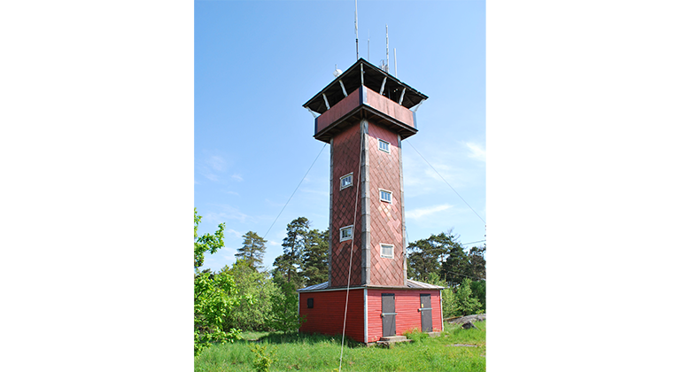
There is an unmarked path around Fjälkinge backe that is 1.5 km long. At the top there is a viewing tower. The tower is locked but a key can be borrowed via the website fjalkingebacke.se Link to another website, opens in new window. Here you can also find more information about the tower. Parking and a rest area are available at the entrance road from the west. Remember to take your rubbish home.
It's located in the norteast of Skåne county.
Fjälkinge backe (Fjälkinge Hill) rises about 100 meters over the surrounding plains. From the top there is a magnificent view and on a clear day you can see all the way to Stenshuvud.
Scots pine trees grow on the hill itself, but there is also a great deal of beech, oak, cherry and other broad-leaved trees. There is a well-trodden path around the hill on the fringes of the woodland, out towards the open land. In early summer walks are accompanied by an energetic choir of birds. Even if you don't want to climb up the steep, rocky path to the top, you can still find plenty of fine views on your way round.
You can also walk out into the species-rich pastures around the hill. Along the southern part of the path there are several places you can get over the fence. In spring, the pastures are filled with an abundance of flowering Pasque Flowers, which then make way for meadow saxifrage and maiden pink.
Two natural springs emerge from the edge of the hill, one on the fringes of the forest in the north-west and the other out in the open pasture to the south. The southern spring is still used to provide the grazing cattle with water.
Fjälkinge Backe is a hill of Archaean rock that has a very special history. The hill itself was created slowly several hundred million years ago. The continental plate on which Sweden lies was much further south at that time and the environment was warm and humid.
At Fjälkinge Backe the rock was resistant to the forces that slowly, but persistently turn hard rock into clay. A mountain of residue was formed that rose above the surrounding Archaean rock. Much later in the Cretaceous Period, about 100 million years ago, the sea covered Skåne and the mountain of residue was slowly compressed into the thick layer of limestone that still covers the surrounding plains. There are other hills in the vicinity that have the same history, e.g. Lilles Backe, Kjungekull and Vångaberget.
The regulations which apply in the reserves are set out on the notices displayed at the entrances and in swedish on this web page.
Formed: 1968
Size: 190 hectares
Municipality: Kristianstad
Manager: County Administrative Board of Skåne
Protection type: Nature reserve
Walk, cycle, take public transport or drive here. Map and directions via Google maps or coordinates (WGS84).
**Within the area, special rules and restrictions apply to the right of public access.
For example, it is forbidden to:
It is important to note that this is only a selection of the rules.
In addition to regulations and prohibitions in other laws and regulations, it is forbidden to:
Under LÄNKAR kommer du till aktuell reservatssida på Länsstyrelsens webbplats, med fördjupande information som kartor, broschyrer och hänvisning till relevanta aktörer. Här finns även en rapportfunktion för dig som vill lämna uppgifter om naturreservaten som vi förvaltar.
Please be aware that some of these texts have been automatically translated.

Ask a question to other Naturkartan users.
0 reviews
No user images yet. Be the first to share!