
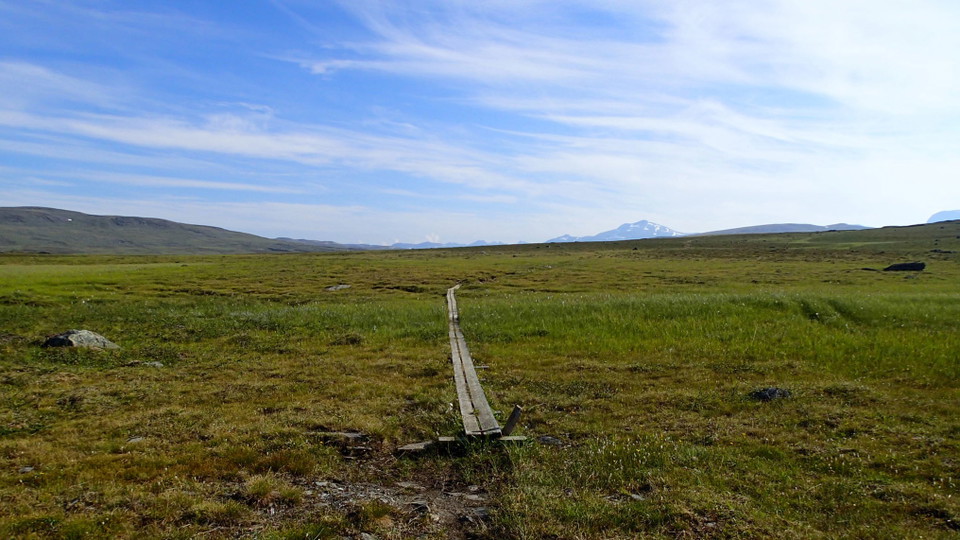
Vandringsled BD47 mellan Hukejaure och Sitasjaure
- Hiking
- County: Norrbottens län
- 6360.67 km away from you
Trail details
- Length 20.0 km
Actions
Description
Activities And Facilities
- Hiking
Surface
A slightly hilly highland plateau across easily-hiked brush moors and low-lying ground. A fair number of plankways.
Communications
From Ritsem to Sitasjaure there is a gravel road across which is blocked by a locked barrier at Ritsem. The hike is 22 km and takes 7–8 hours. Ritsem lies about 180 km from Gällivare. It can be reached by car – otherwise the easiest way to get there is by bus.
Länstrafiken Norrbotten website (bus and coach operator) Gällivare Turistcenter website
Contact
Email address
Länsstyrelsen Norrbotten
Organization logotype

I’ve been here 6




I want to go here 11


Reviews
—
0 reviews
- 5 :
- 4 :
- 3 :
- 2 :
- 1 :
Questions & Answers
Ask a question to other Naturkartan users.
Users images
Share your photos of the place!
