Best hiking trails in Olofström

Olofström

Naturkartan samlar de vandringslederna i Olofström som är populärast bland våra användare.

Images

Map

28 Best hiking trails in Olofström

Hiking

Blekingeleden Trail | Halens camping – Tulseboda Brunnspark

  • Municipality: Olofström
  • 6824.14 km away from you
  • 20.5 km
  • Difficulty: Blue

Between Olofström (Halens Camping) and Kyrkhult (Tulseboda Brunnspark) the Blekingeleden Trail runs all the way through the municipality of Olofström from the beautiful water in the south to Slagesnässjön lake in the north and the spa park in Kyrkhult borde…

Hiking

Blekingeleden Trail | Östafors – Halens camping

  • Municipality: Olofström
  • 6827.15 km away from you
  • 15.5 km
  • Difficulty: Blue

From Olofström in the heart of Sweden’s southernmost wilderness area surrounded by the Raslången and Halen lake system, the Blekingeleden Trail runs down to Näsum at the foot of the Sibbarpsdalen valley. The Blekingeleden Trail runs parallel with the Skånel…

Hiking

Rödhultsrundan

  • Municipality: Olofström
  • 6827.86 km away from you
  • 11.3 km

Rödhultsrundan är den längsta vandringsleden i Halens naturreservat och går på lättillgängliga stigar genom lummiga lövskogar och hagmarker. Leden är perfekt för en heldagsutflykt och passerar flera rastplatser med möjlighet att äta medhavd matsäck eller gr…

Hiking

Halenrundan

  • Municipality: Olofström
  • 6827.62 km away from you
  • 5.7 km

Halenrundan is the nature reserve's trail close to the center, which in the northern parts passes through Olofström's residential areas. Halenrundan passes Frickabron - an 83 meter long suspension bridge completed in 2020 - where there is a beautiful rest a…

Hiking

Olsarundan

  • Municipality: Olofström
  • 6826.74 km away from you
  • 6.7 km

Olsarundan går i naturreservatets västra delar genom taiga-liknande lövskogar med inslag av brokiga tallar och fina utsiktsplatser över sjön Halen. Leden är kuperad, framförallt på västra sidan, där det bitvis förekommer branta och mer krävande sträckor. Lä…

Hiking

Farabols vandringsleder - S Grytsjöleden

  • Municipality: Olofström
  • 6818.41 km away from you
  • 13.9 km
  • Difficulty: Blue

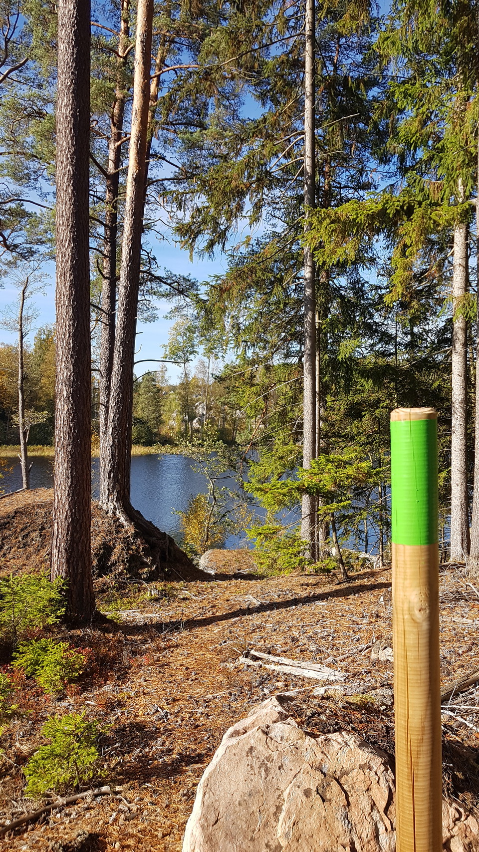
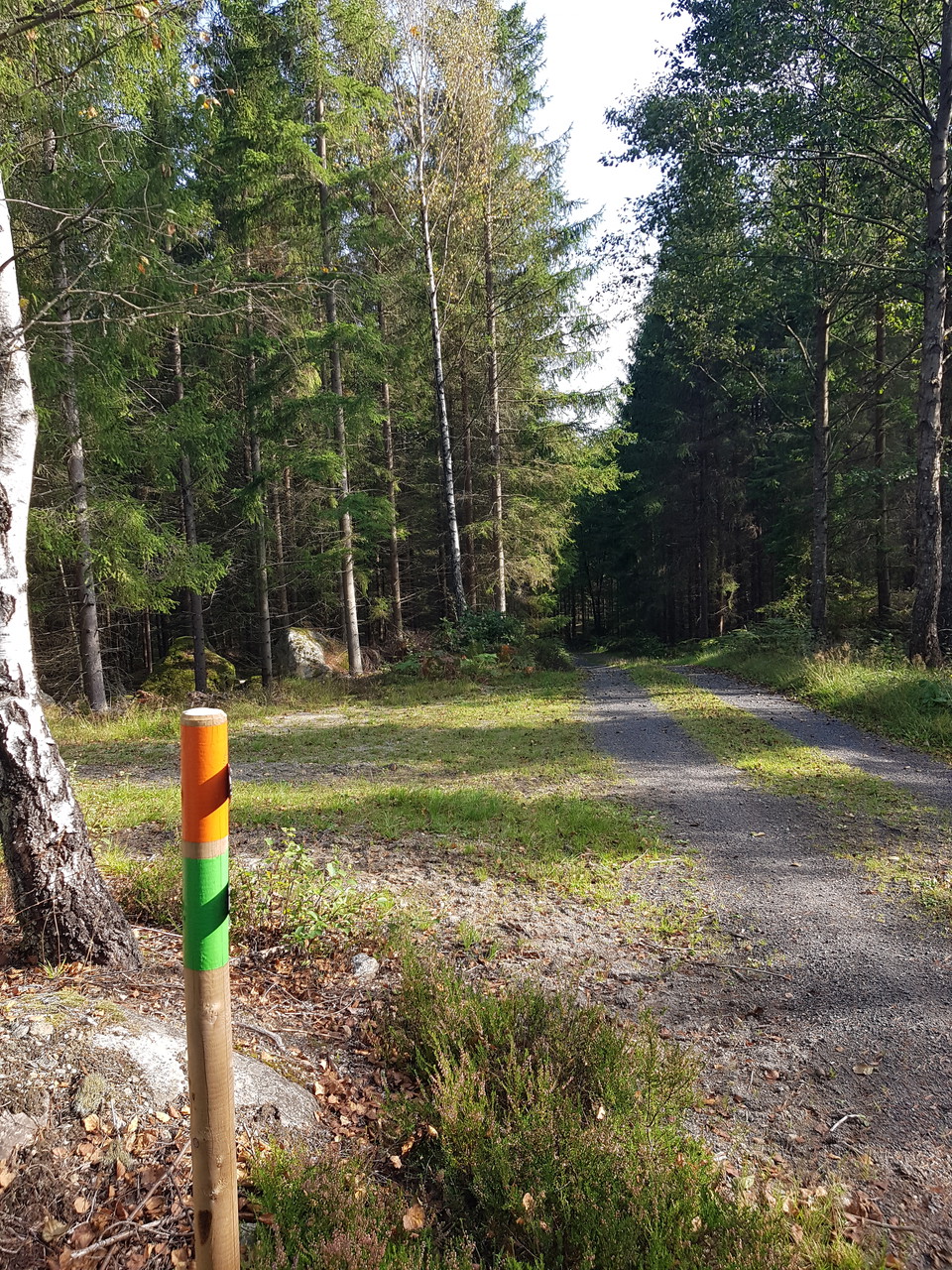
This trail starts at Farabol school. Heading west, follow the green marker posts through the gravel pit. The trail runs through forest on gravel roads and paths up to the ”three counties stone” between Blekinge, Småland and Skåne. Along the trail, the walk…

Hiking

Vargarundan

  • Municipality: Olofström
  • 6828.86 km away from you
  • 5.5 km

Vargarundan runs through the southern parts of Halens nature reserve on easily accessible paths in a rich cultural environment. Here you pass, among other things, a wolf pit, also called a trapping pit, which shows how wolves and other wild animals were tra…

Hiking

Lagfogderundan

  • Municipality: Olofström
  • 6827.74 km away from you
  • 6.7 km
  • Difficulty: Blue

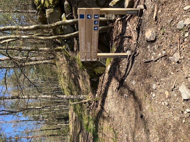
You are at the entrance Pieboda. From here, the Ladfogdegylet trail runs through deep deciduous forests and exciting nature in the Pieboda nature reserve. The trail is hilly, especially on the west side along Halen, where there are steep and more difficult…

Hiking

Farabols vandringsleder- Mulatorpsleden

  • Municipality: Olofström
  • 6818.88 km away from you
  • 10.2 km
  • Difficulty: Green

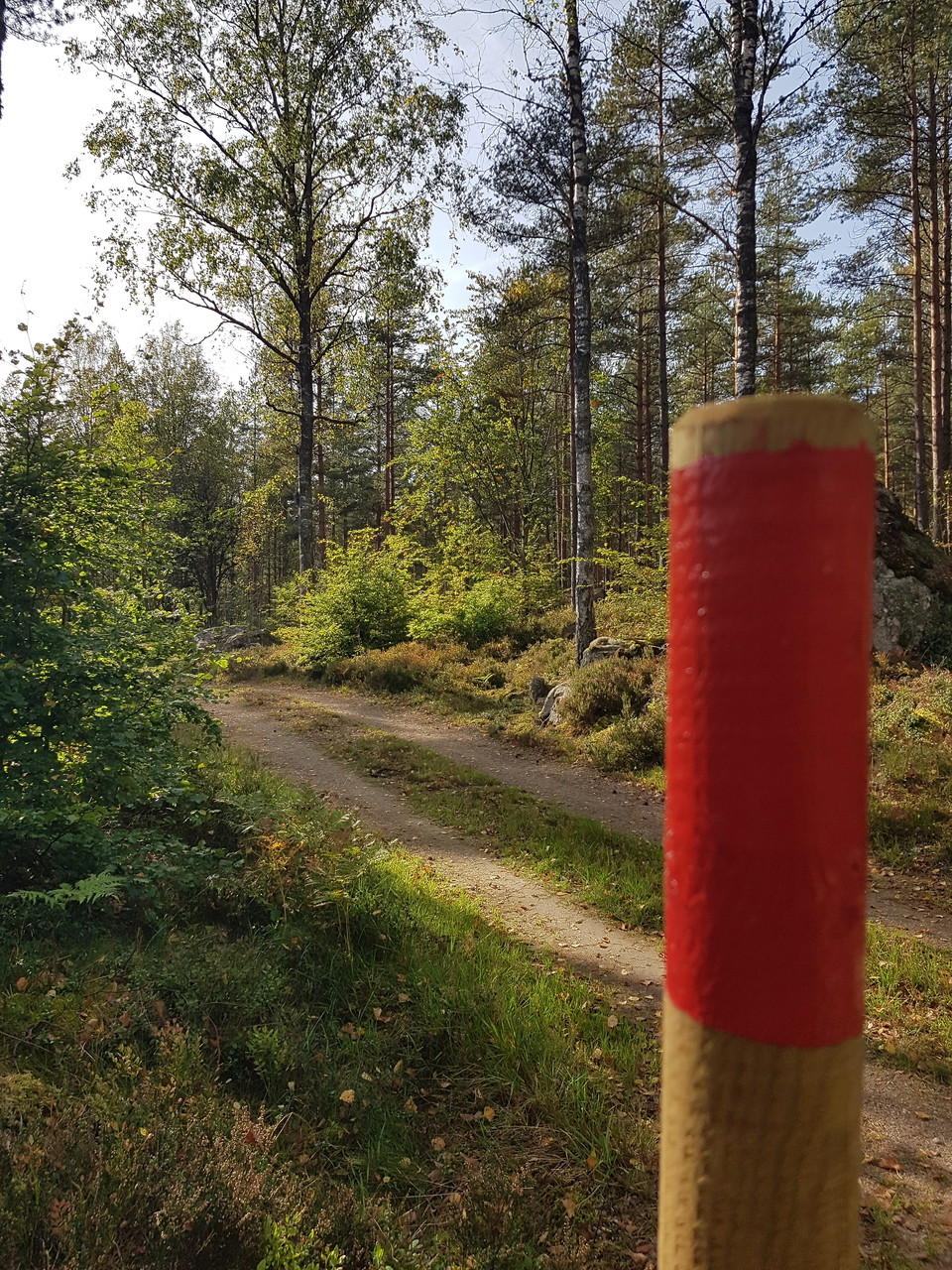
This walking trail starts in the forest turn around area by Södra Grytsjön. The trail is marked with red marker posts. Over Grytelid (old road until the 1930s), past Rävabacken (the highest point in Blekinge, 189.65 m MSL), through pinewoods and pass Agngy…

Hiking

Östafors

  • Municipality: Olofström
  • 4.41 km

Trail between Östafors - Bökestad. Varying terrain. More than 50% on nature trail.

Hiking

Fornebodarundan

  • Municipality: Olofström
  • 6828.22 km away from you
  • 3.4 km

Fornebodarundan connects Tulseboda Brunnspark with Forneboda Kulturbrunn. Along the hike you will come to the very first bathhouse at Fornebodasjön where the well era once began. At the beautiful Forneboda cottage, which is built in the Norse style, you can…

Hiking

Farabols vandringsleder - Höjdleden

  • Municipality: Olofström
  • 6820.10 km away from you
  • 7.15 km
  • Difficulty: Blue

This “High” trail starts at Farabol school. Heading west, follow the orange marker posts through the gravel pit. The trail runs mainly through forest on gravel roads and passes the site where a B17 bomber crashed in 1944, before following the shoreline of S…

Hiking

Grytleden, Siggaboda

  • Municipality: Olofström
  • 6820.14 km away from you
  • 2.3 km
  • Difficulty: Red

Grytleden is a longer hiking trail, about 13.5 km of which a small stretch goes through Siggaboda nature reserve. Read more about it on farabol.se via the link below. Click on the nature reserve's border or symbol in the map to read more about the reserve a…

Hiking

Blåsegylet runt

  • Municipality: Olofström
  • 6829.46 km away from you
  • 1.0 km

Blåsegylet round is accessible, which means that it is suitable for wheelchairs and permobiles. There is a popular picnic area with benches, tables and a barbecue area. The rest area is adapted for wheelchairs. There are also benches with back and armrests…

Hiking

Farabols vandringsleder - Dalgången

  • Municipality: Olofström
  • 6822.91 km away from you
  • 6.2 km

This “Valley” trail starts at Farabol school. Follow the yellow marker posts. First walk north on the road Farabolsvägen until where the last shop in the village was located. Turn right onto a gravel road, you will pass long wooden buildings (former milita…

Best hiking trails in Olofström

Naturkartan samlar de vandringslederna i Olofström som är populärast bland våra användare.

Naturkartan

Open this in the app