Hälsans stig - Filipstad
- Municipality: Filipstad
- 6624.06 km away from you
- 5.0 km
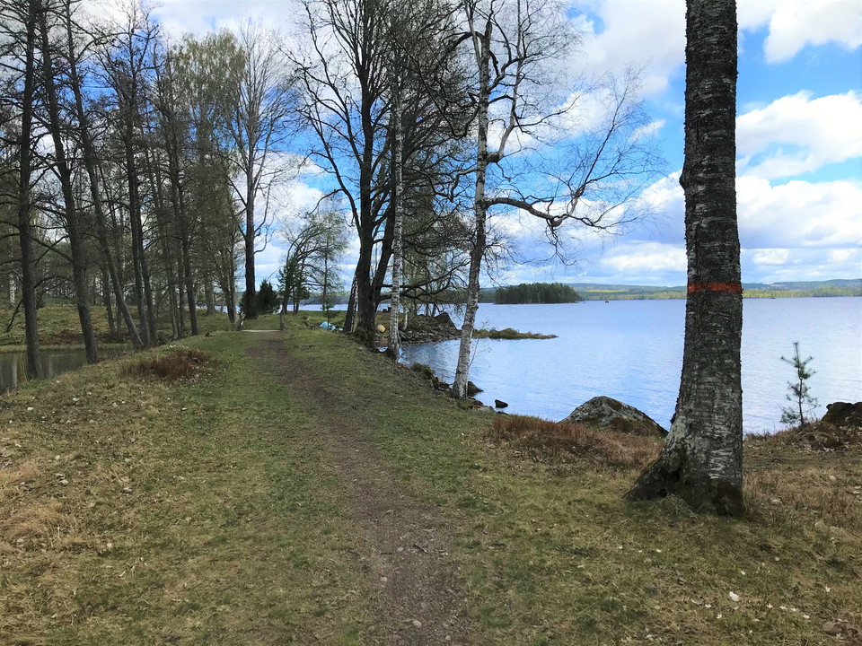
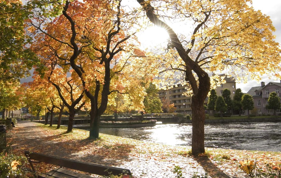
Längs promenaden kan man se Kanonudden, Storbrohyttan, Ferlinstatyn, Bergmästargården och mycket annat.

Filipstad
Naturkartan samlar de vandringslederna i Filipstad som är populärast bland våra användare.
Längs promenaden kan man se Kanonudden, Storbrohyttan, Ferlinstatyn, Bergmästargården och mycket annat.
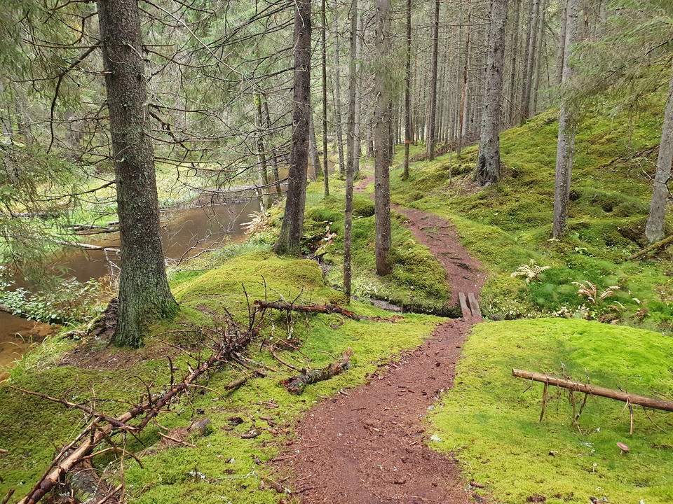
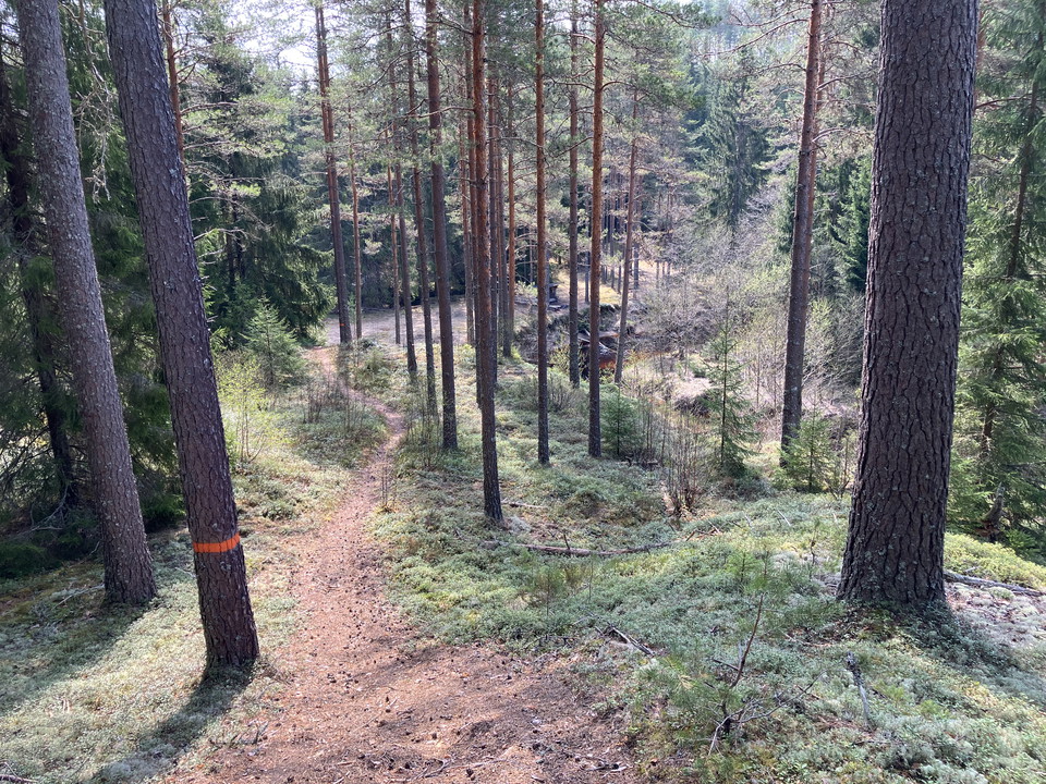
The trail runs through hilly forest terrain. Orange markings on trees
Trail with a lot of variety. Large parts of the trail have wide, easy paths/roads. In the forested parts, the trail is more hilly. Parts of the trail go through pastures. Orange markings on posts and trees
The trail takes visitors over gentle hills in the more open parts of the reserve. Here the hike is relatively easy. If you walk the trail south in the area, you enter a more forested part that is slightly more hilly. Orange markings on trees and poles
The trail has some nice sections along ridges, through older pine forests and past the northern edge of Geijersdalsmossen nature reserve. The loop passes over road 63 twice and has some slightly steep slopes up and down ridges. Blue marking on poles and trees
The trail is the large circular loop of the nature conservation area. The trail is varied and passes a number of different sights such as Ångsågen, the old ironworks in Brattfors, Lake Alstern and four nature reserves. Most of the trail is medium, but in Lu…
A trail that passes several dead ice pits, the largest of which is Sundstjärnen with its turquoise-colored water. The dead ice pits are one of the biggest attractions on Brattforsheden. From the parking lot at the northern Kittelfältet, it is about 500 mete…
Is a detour from Brattforsleden which measures about 2.5 km one way from the starting point at the northern Kittelfältet. The trail goes through very nice hilly terrain, exciting fire areas and along Lake Alstern. Orange markings on poles and trees
Trail starting from Stegelviken. Short, easy and pleasant hiking trail that follows ridges on the sandy heath. The trail passes, among other things, flying sand dunes and several coal beds. Yellow marking on poles and trees
The hiking trail goes all the way to the reserve. It goes through the forest in slightly hilly terrain. Orange markings on poles and trees
An easy walking loop where about a third is on a gravel road and the rest on an old fine and sandy moorland road through a dune landscape. Approximately in the middle of the loop there are two benches overlooking Alstern for those who want to take a break.…
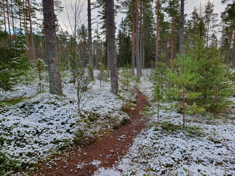
Orange marking on poles and trees
Naturkartan samlar de vandringslederna i Filipstad som är populärast bland våra användare.