
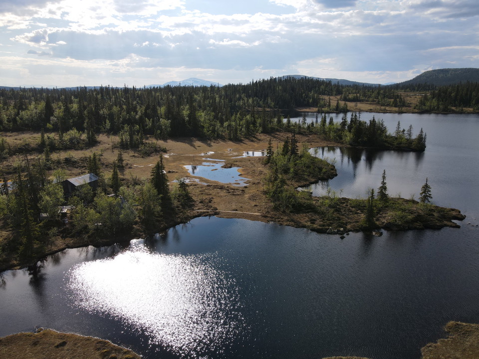


102. Jougdadalens EkoLäger - Blomhöjden (medel)
- Hiking
- County: Jämtlands län
- 6427.27 km away from you
Actions
Description
Activities And Facilities
- Hiking
Directions
Leave your car at the roadside where you see the starting point of the hike on the Nature Map. There is an opening in the forest, 20 m north of the stream you will follow upstream. There is a path, not marked on the map, that goes on the north side of the stream towards Nordankältjärnen, all the way to Jougdadalens EkoLäger. From here it is a 3.5 km walk up to the camp.
Please be aware that some of these texts have been automatically translated.
I’ve been here
I want to go here 4


Reviews
—
0 reviews
- 5 :
- 4 :
- 3 :
- 2 :
- 1 :
Questions & Answers
Ask a question to other Naturkartan users.
Users images
Share your photos of the place!
