
-
-
-
-
-
-
-
-
-
-
-
-
-
-
-
-
-
-
-
-
-
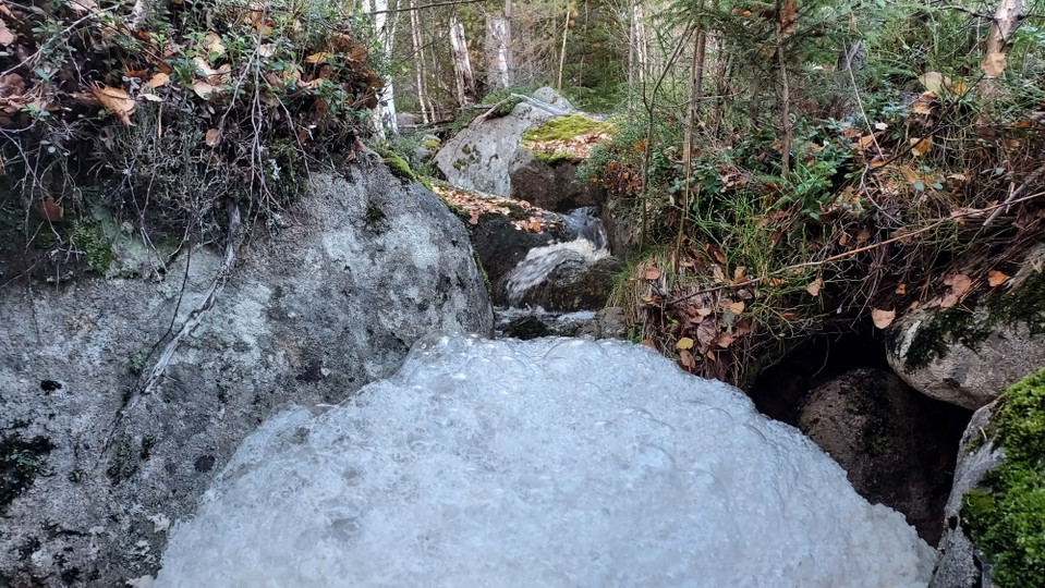
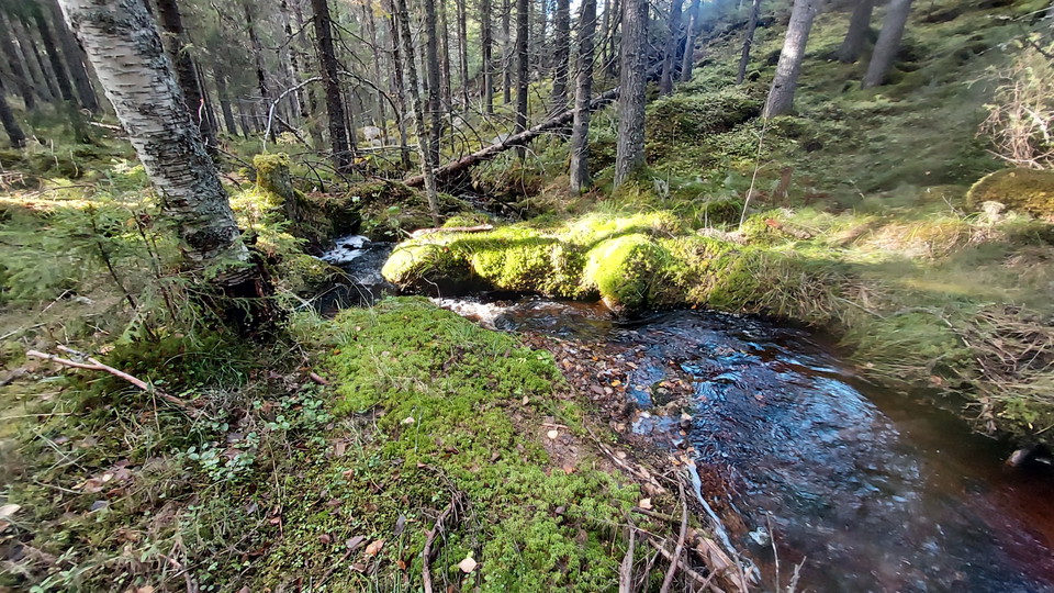
Inte långt från Stensvallen, nära vandringsleden från Kalvsvallen rinner en bäck nära leden. Vattnet forsar fram så att det skummar. -
-
-
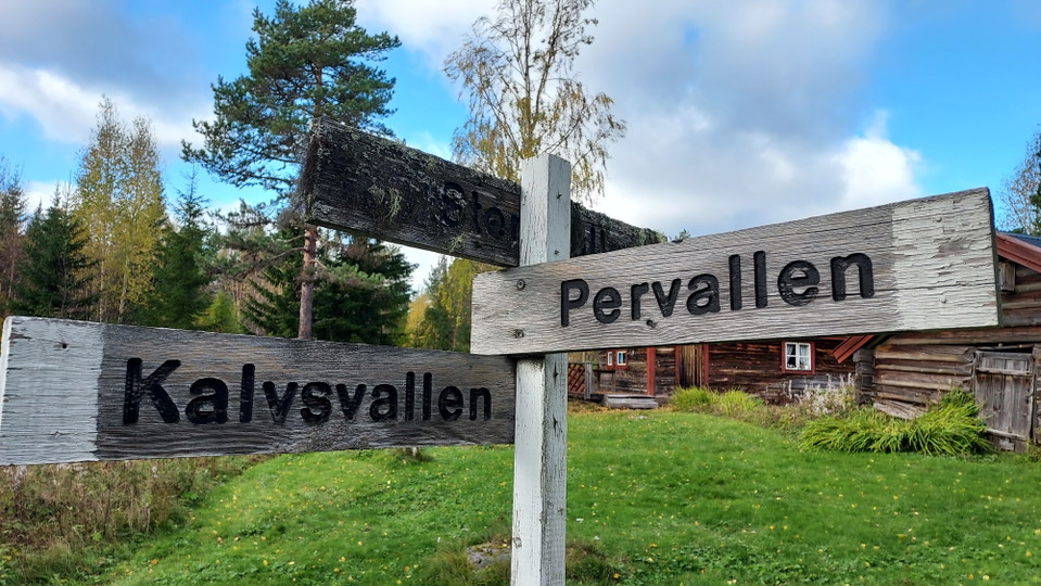
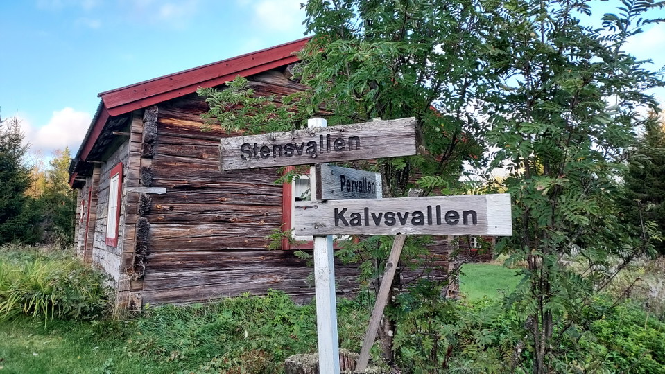
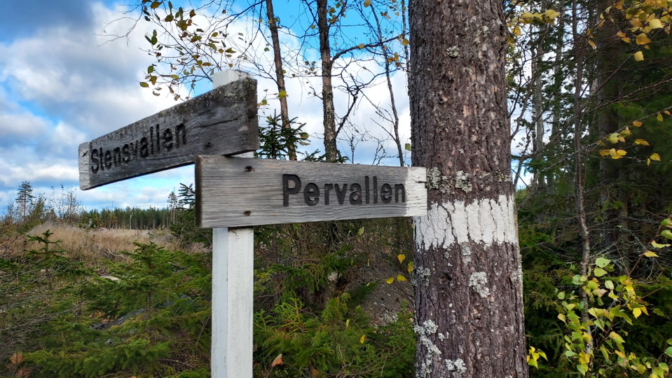
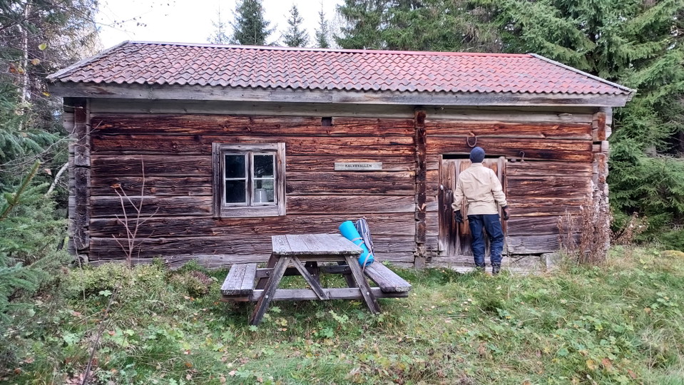
Vallederna, Stensvallen - Pervallen - Kalvsvallen
- Hiking
- County: Gävleborgs län
- 6627.20 km away from you
Trail details
- Length 12.0 km
- Difficulty Blue - medium
Actions
Description
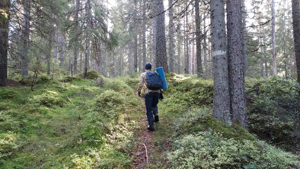
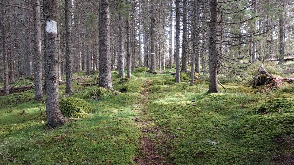
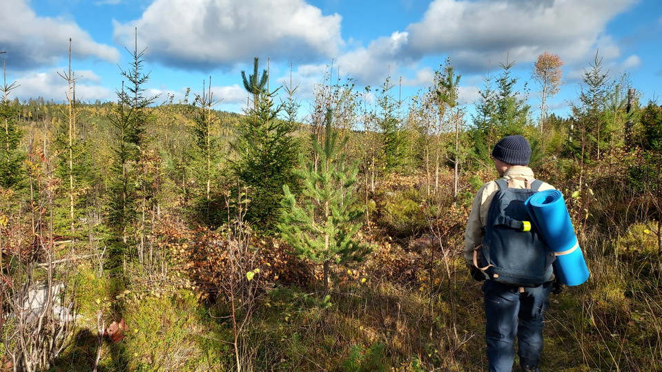
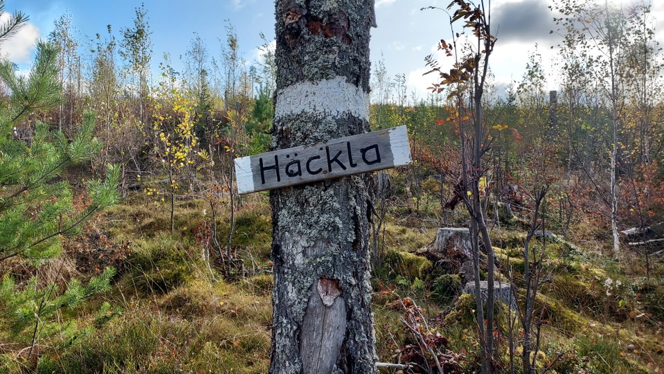
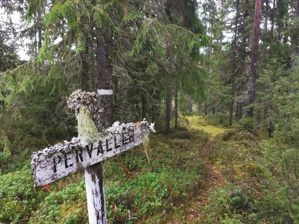
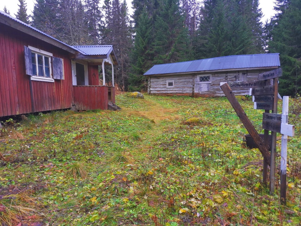
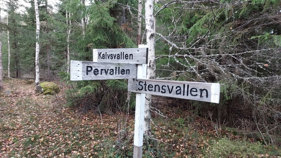
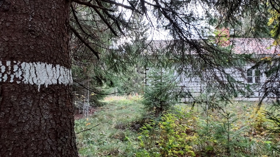
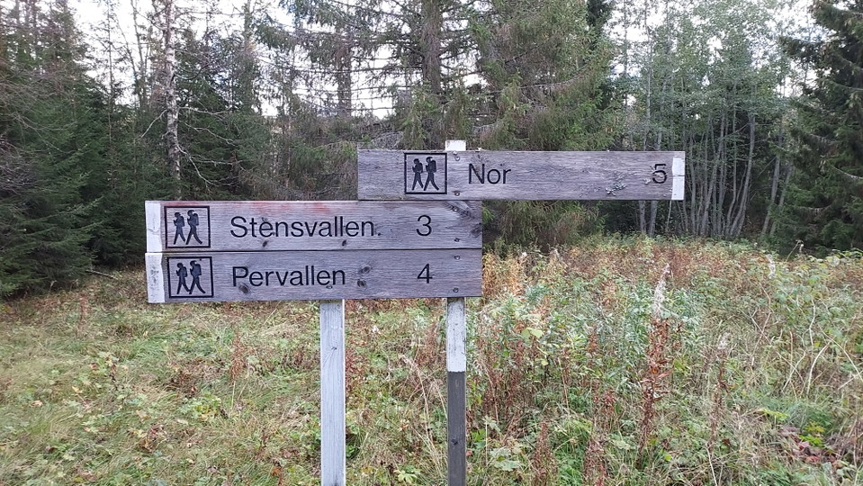
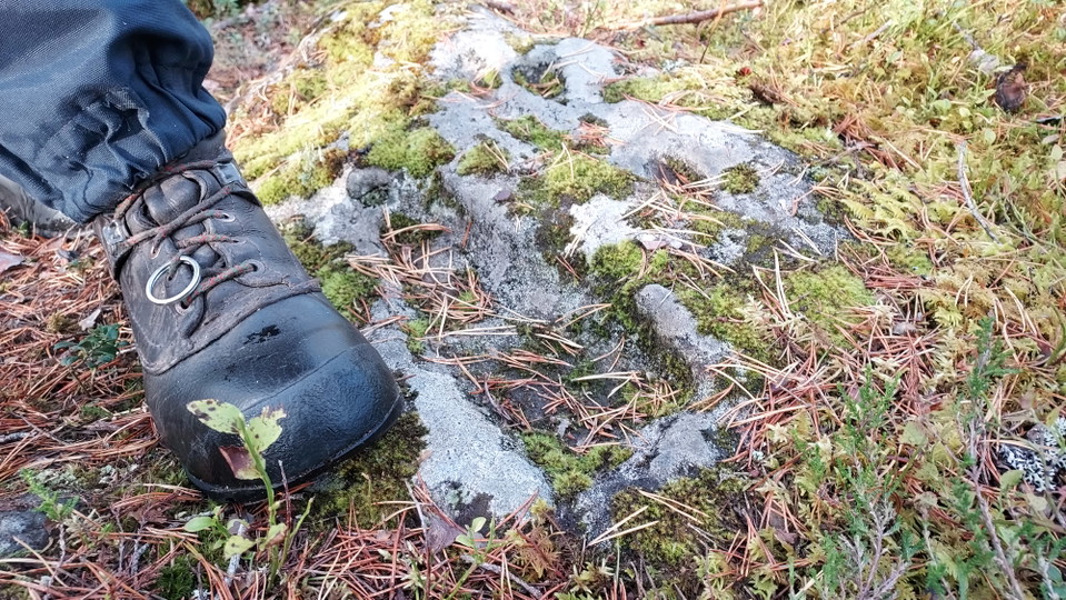
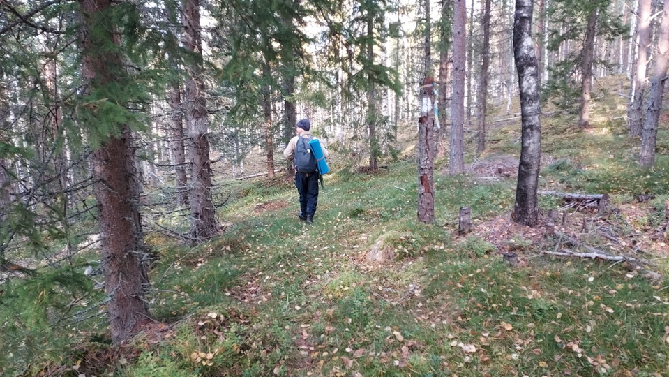
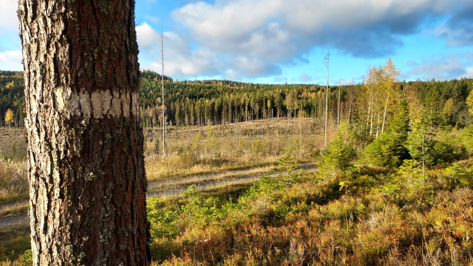
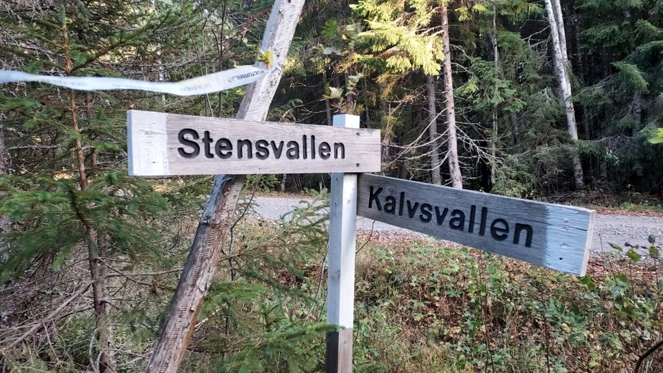
Hiking trail that runs on the old paths that connect the mountain pastures with each other. The trail is marked with white paint on the trees. There are also signs where the trail crosses roads and other paths.
Activities And Facilities
- Hiking
Surface
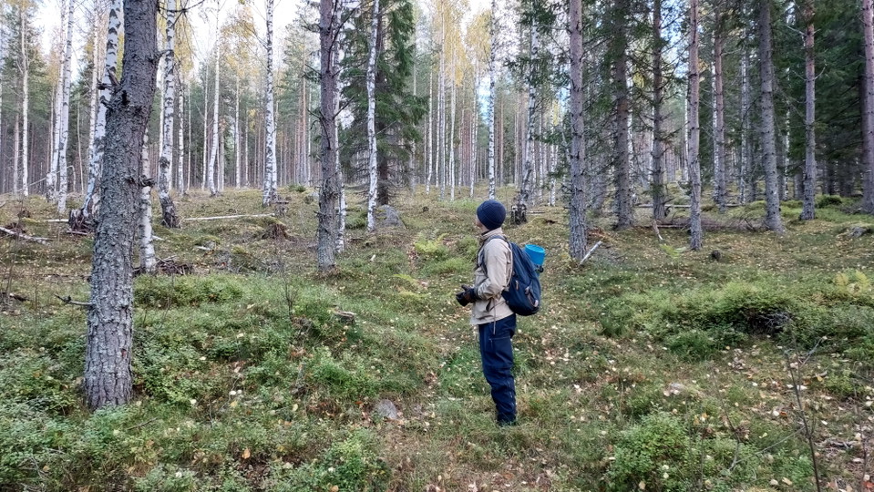
Soft and not so well trodden paths. In some places it can be difficult to see trail markings but they are there so pay attention and you will find the trail.
Contact
Address
Verksamheten för strategisk och hållbar utveckling, kommunstyrelseförvaltningen Norra Järnvägsgatan 21, 827 80 Ljusdal 0651-18 000
Email address
Please be aware that some of these texts have been automatically translated.
I’ve been here
I want to go here 9


Questions & Answers
Ask a question to other Naturkartan users.
Reviews
0 reviews
- 5 :
- 4 :
- 3 :
- 2 :
- 1 :
Users images
No user images yet. Be the first to share!
