

Vattnets väg till gruvan
- Hiking
- Trail running
- County: Dalarnas län
- 6639.57 km away from you
Trail details
- Length 37.5 km
Actions
Currently
Due to the storm Johannes, there are many trees lying over the trails and it is difficult to get around in parts of the area. We are working to fix this, but it may take some time until all trails are fixed. Watch out for fallen trees, leaning trunks, hanging branches and other signs of instability in the forest.
Description
Activities And Facilities
- Hiking
- Trail running
Facts
The Waterway to the Mine trail system is managed by Falu Municipality.
Parking
It is possible to start the hike at several places. Parking is available at Puttbo bergsmansgåd, Stångtjärn, Falu gruva and Källslätten.
Communications
Bus connections suitable for starting the hike are available to Önsbacksdammen and to Lilltorpet.
Directions
It is possible to start the hike at several places. Parking is available at Puttbo bergsmansgåd, Stångtjärn and Källslätten. You can take the bus to Lilltorpet
Contact
Email address
Kontaktcenter Falu kommun
Organization logotype

Please be aware that some of these texts have been automatically translated.
I’ve been here 20





I want to go here 45







Reviews
3.9
3 reviews
- 5 :
- 4 :
- 3 :
- 2 :
- 1 :
Questions & Answers
Ask a question to other Naturkartan users.
Users images
Share your photos of the place!

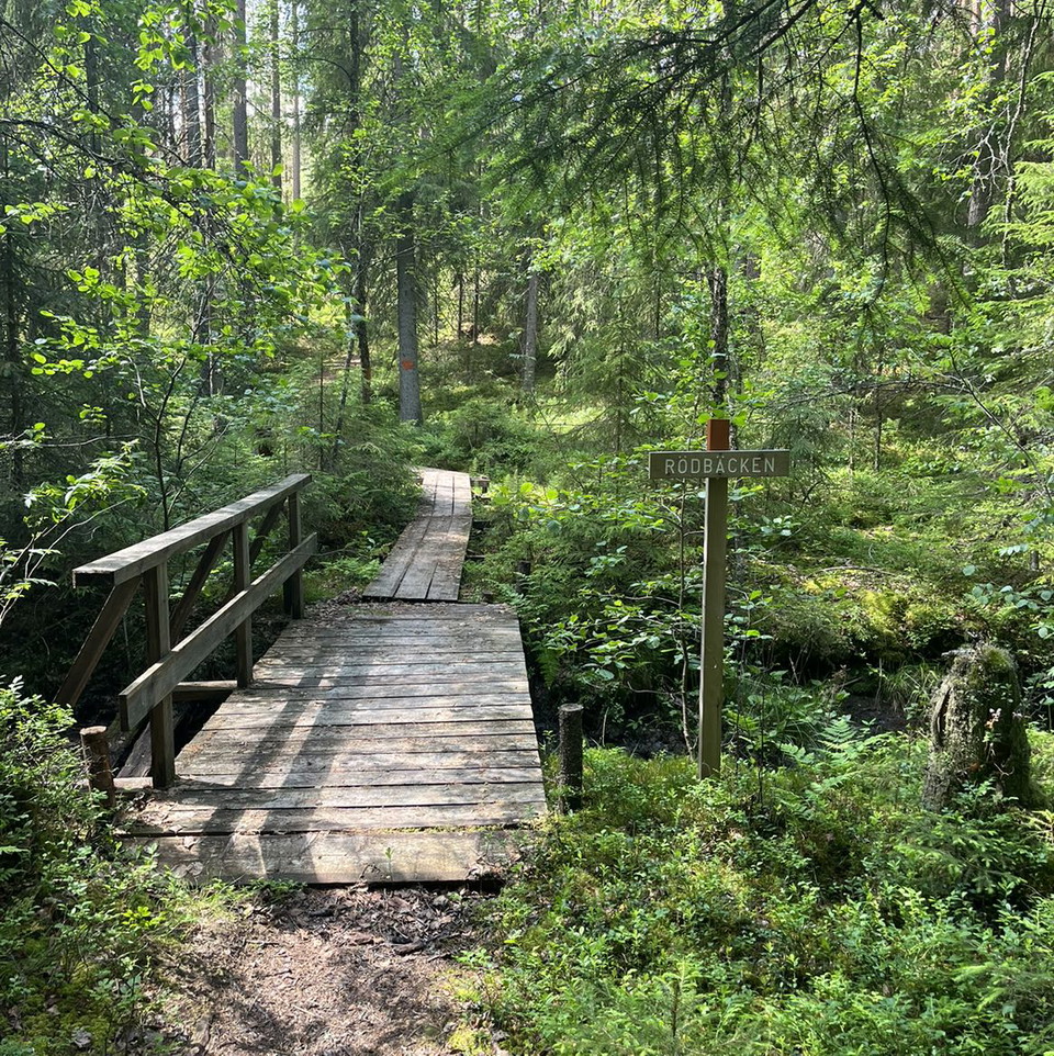
Fina leder att vandra mellan tjärnar, myrar och en del kulturarv från tiden då det begav sig i skogarna. Startade i Puttbo och gick de två slingor som går runt Kråkmyrarna och Stångtjärnen i början av oktober - 22 km.
En bra idé (nästan måste om man inte känner till området) att appen igång då skyltningen förvisso är bra i de flesta korsningar, men saknas helt ibland.
Bra jobbat Falun.