


Tre toppar vandringsled, Rättvik
- Hiking
- Circular trail
- County: Dalarnas län
- 6610.46 km away from you
Trail details
- Length 7.5 km
- Time 4 h
- Difficulty Red — demanding
Actions
Description
Activities And Facilities
- Hiking
- Circular trail
Facts
Start the hike at the lower parking lot of the slalom slope. A sign shows where the trail starts. The trail is a "round loop" so you choose which direction you want to hike. The trail is marked with orange color on trees and poles. The viewpoints are sometimes right next to the trail. Sturdy shoes are recommended as you sometimes walk on small paths. If you want to go for a shorter walk (just over half the round), you can finish at the top of the slalom hill and follow the path down the hill to the starting point.
Surface
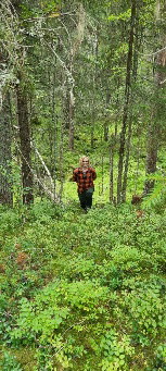
Hilly forest terrain.
Parking
At the Rättviks Slalombacke warming hut.
Directions
From the center of Rättvik follow the signs towards Rättviksbacken (Slalomvägen). The trail starts at the lower parking lot of the slalom slope.
Contact
Address
+46 (0)248-700 00
Email address
Rättviks kommun
Organization logotype

Please be aware that some of these texts have been automatically translated.
I’ve been here 31








I want to go here 61








Reviews
3.6
5 reviews
- 5 :
- 4 :
- 3 :
- 2 :
- 1 :
Questions & Answers
Ask a question to other Naturkartan users.
Users images
Share your photos of the place!

Lerdalshöjden var fin, i övrigt en oinspirerande vandring tyvärr. Mycket vandring i buskigt, halvuppväxt kalhygge. Ibland känslan av motionsspår. En besvikelse.