
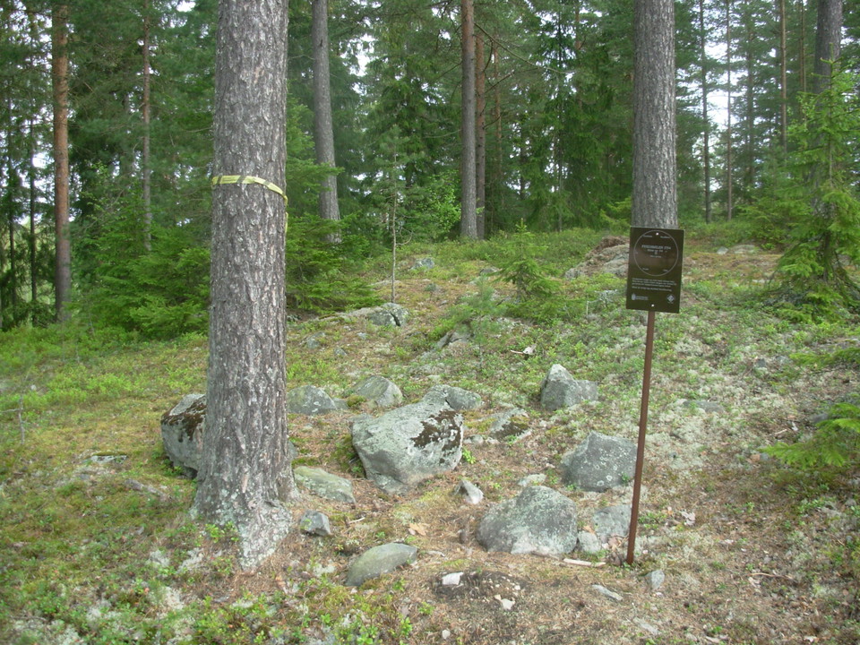
Fredsmilen röse 54
- Archaeological
- County: Dalarnas län
- 6652.76 km away from you
Actions
Description
In a built-up area there are remains of what could be the Peace Crescent.

For general information about the Peace Mile, see the site "History of the Peace Mile" or click on the Peace Mile circle in the map.
Activities And Facilities
- Archaeological
Facts
Corduroy eye (Radius eye/intermediate eye/corduroy eye)
Roose (Roose/Rock/Pile/Water)
Coordinates N,E
WGS84 dec 60.657288° 15.771118°
SWEREF 99 TM 6724863, 542154
RT90 6726677, 1498141
Status: 5
0. Not currently searchable - includes the categories Pile and Water.
- "Probably" lost due to road construction or similar.
- "Probably" lost due to road construction or similar. Remains may still exist.
- not yet recovered - may be gone, but may also remain.
- "Probably or possibly" found, but "uncertain", because they are "atypical" in some way.
- "Certainly" recovered, but in a more or less damaged condition.
- 'Certainly' recovered and in a well-preserved condition.
J Sign posted (Y/N)
RAÄ-no: Sundborn 5:1
Property designation: Falun Sandsberg 6:8
Landowner: Falu municipality
Comments:
Contact
Email address
Kontaktcenter Falu kommun
Organization logotype

Please be aware that some of these texts have been automatically translated.
I’ve been here
I want to go here 1

Reviews
—
0 reviews
- 5 :
- 4 :
- 3 :
- 2 :
- 1 :
Questions & Answers
Ask a question to other Naturkartan users.
Users images
Share your photos of the place!
