
-

Nordanågstjärnen -

-
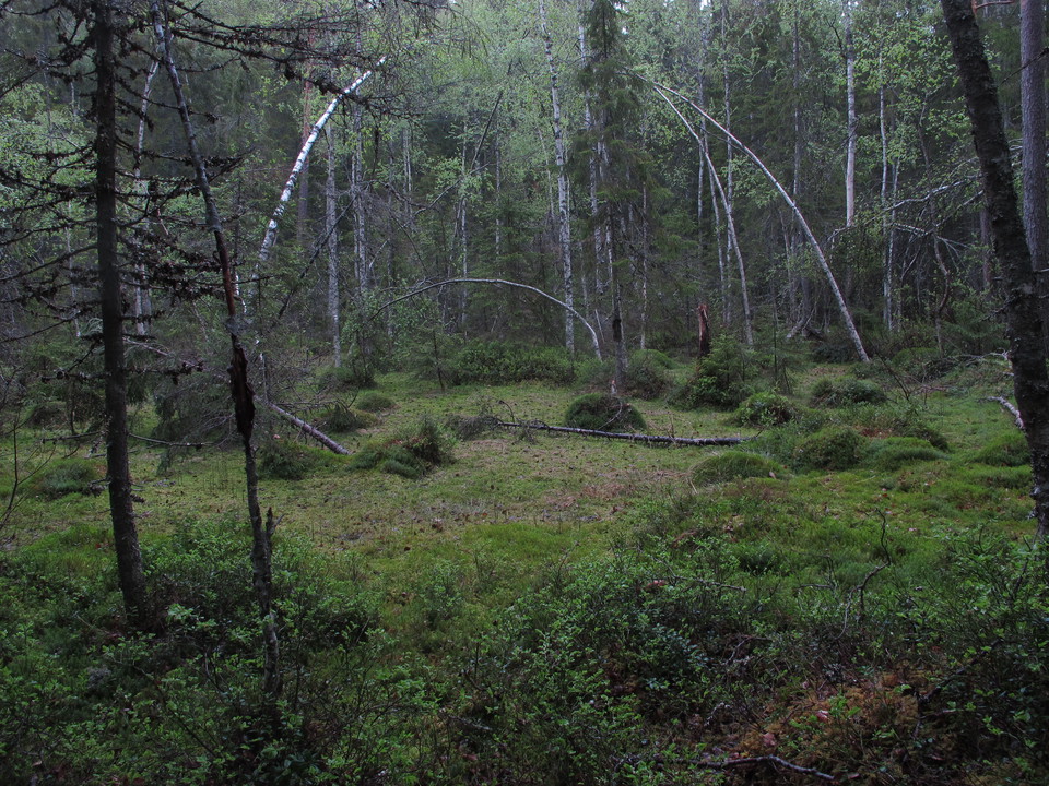
-

Ågs bruk -

Gammelfäboden -

Vidgade vyer
Isala-Åg-leden
- Hiking
- Riding
- Trail running
- Near parking
- County: Dalarnas län
- 6654.44 km away from you
Trail details
- Length 16.0 km
Actions
Description
Activities And Facilities
- Hiking
- Riding
- Trail running
Accessibility
- Near parking
Facts
The marking consists of orange markings on the trees.
The markings can be difficult to find at times, so please take a map with you.
Directions
Isala Road End: Drive road 850 to Isala. Follow signs to Isala Lada. Drive past the barn and continue along the road out of the village. About 250 meters after the last farm in the village you come to a turnaround where you can park. There is a picnic table and an information sign about the trail.
Contact
Email address
Kontaktcenter Falu kommun
Organization logotype

Please be aware that some of these texts have been automatically translated.
I’ve been here 14






I want to go here 43







Reviews
Questions & Answers
Ask a question to other Naturkartan users.
Users images
Share your photos of the place!

Det var mycket träd 🌲 som har fallit över leden så det var väldigt svårt att ta sig till vindskyddet som vi valde att övernatta. Det låg ett träd över själva vindskyddet men det hade klarat sig bra. men det skulle behövas tas bort. Vi gick sjövägen från Ågs bruk. fint men mycket träd 🌲 som sagt.
Tack för informationen! Vi förmedlar den vidare till berörda markägare.