Slaggstenspelare i Trummelsberg
- Municipality: Fagersta
- 6700.87 km away from you
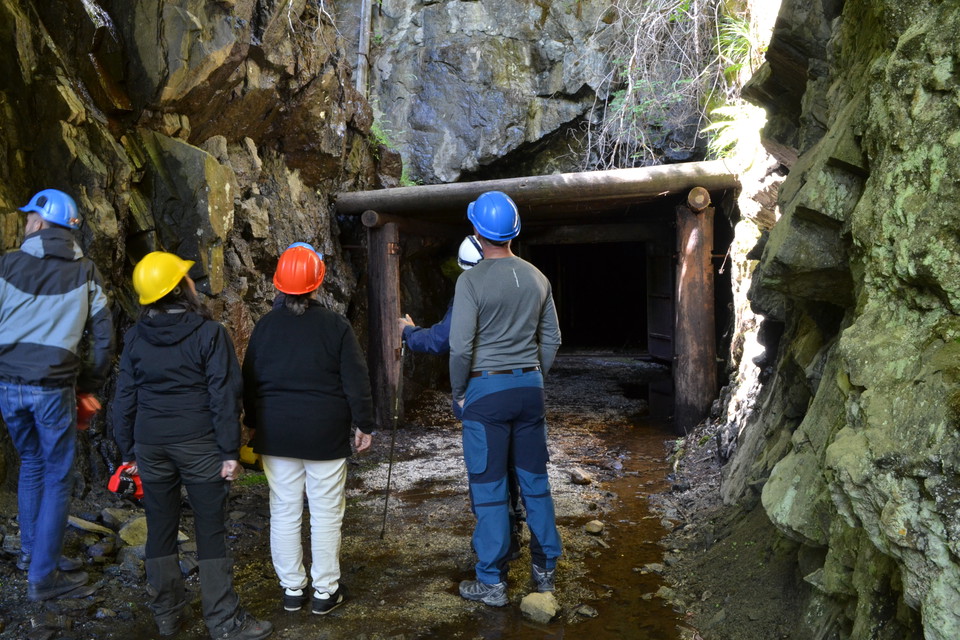
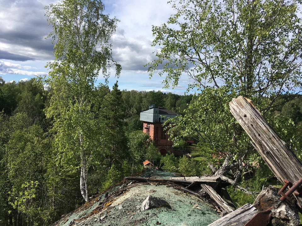
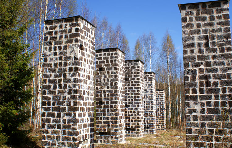
Slagstone pillar renovated in recent years by Fagersta municipality. Very worth seeing old place.

Västmanlands län
Slagstone pillar renovated in recent years by Fagersta municipality. Very worth seeing old place.
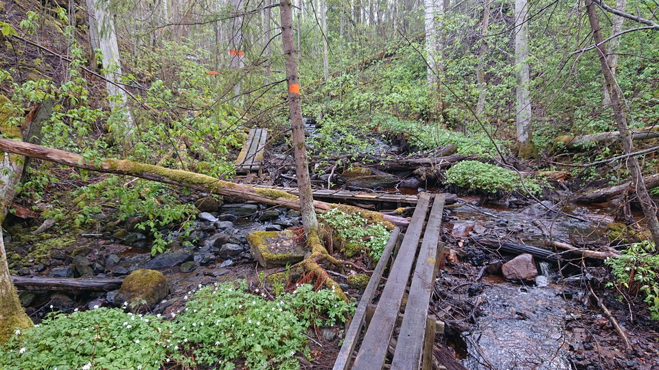
Skrikboravinen is an old stream valley. It is about 300 meters long and in some places up to ten meters deep. The ravine was formed by the water eroding in place against the underlying slightly coarser material. In the present day, the ground within Skrikbo…
S:t Olovs källa i Björskogs socken är en av många olofskällor som är spridda längs de forna pilgrimslederna. De mest kända olofskällorna finns i Borgsjö i Medelpad samt i Pilgrimsstad, Jämtland. Källorna skapades enligt legenden av S:t Olav själv som likt M…
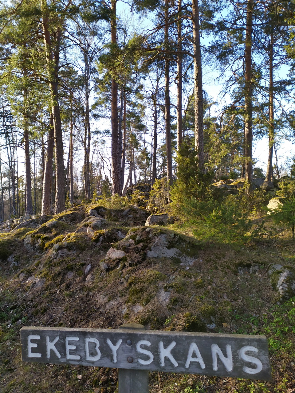
The fortress at Ekeby is believed to have been built sometime between 400 and 600 AD and to have been part of a surveillance system along the bay that stretched towards Arboga. Below the rampart is a pasture with dry meadows, hazel hill and alder marshes wi…
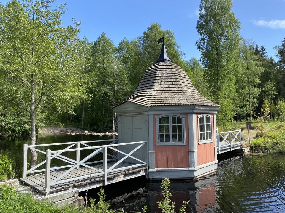
At the beginning of the 17th century, a bar iron forge with three hammers was built at Bockhammar. The mill was bought shortly afterwards by the king Magnus Brahe, who already owned the mill in Uttersberg. His daughter Ebba Brahe inherited Bockhammar in 163…
Halvarsborg är en historisk fornborg från cirka 400–550 e.Kr., belägen på en höjd vid sjön Tjurlången utanför Arboga. Här finns rester av en imponerande ringmur som en gång skyddade människor i området och fungerade som tillflyktsplats i oroliga tider. Akti…
The mines at Bastnäs were first mentioned in 1692, and a large number of different minerals have been mined here since then. The mineral bastnäsite, which was first found here, is also named after the site. Scientists and collectors from all over the world…
Färna har varit befolkat åtminstone från mitten av 1500-talet. Järnbruket startade i början på 1600-talet med en hammare och två härdar. Det ägdes från början av Kronan. Under 1630-talet fick den kraftfulla kvinnan Edla Widiksdotter bruket att blomstra. Åre…
Lienshyttan's blast furnace in Riddarhyttan has ancient origins. At the beginning of the 17th century, Tomas Hammarsmed was granted the right to build a smithy and a hammer forge. There was also a flour and sawmill here. In the 1840s, the iron ores in Ridda…
Red Earth gets its name from the so-called iron ochre, which consists of iron oxides that give the area's soil its rusty red color. The iron content of the soil is high enough to be used to make iron. Iron production started here over 2,500 years ago and is…
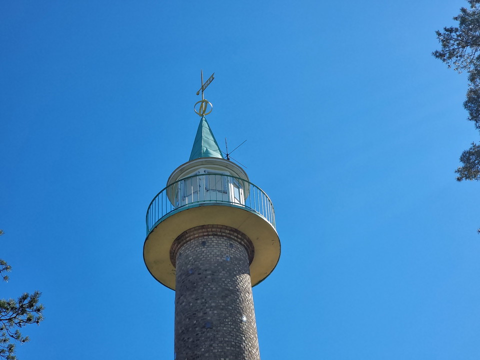
Is it a water tower, minaret or medieval castle tower? The tall air surveillance tower in Fagersta has been given many names over the years. In the forest above Folkets hus in Fagersta, there is an old air surveillance tower. The tower was built by Fagersta…
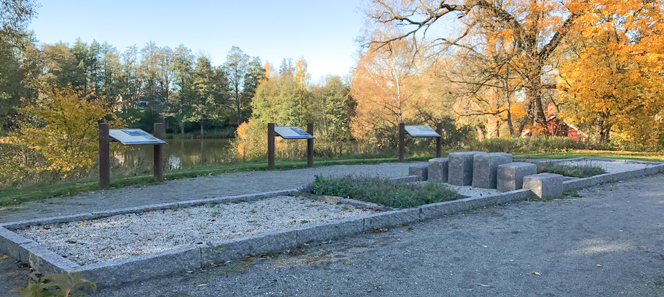
At the memorial site for the Battle of Herrevadsbro by Kolbäcksån, next to Kolbäcks Gästgiveri. The site has benches where you can sit and look out over Kolbäcksån. There is also more information about the site and the battle that is said to have been fough…
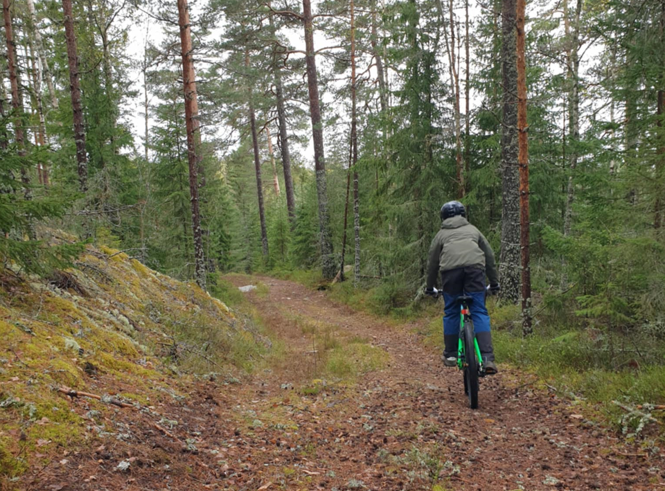
Welcome to Klackberg's MTB trail, a 6 km long red loop that takes you through the beautiful Klackberg nature reserve and up to Kolningsberg. The trail follows the old machine road and offers technical challenges suitable for both experienced cyclists and th…