
Kalmar län och Öland
Rest area
Map
133 Rest area

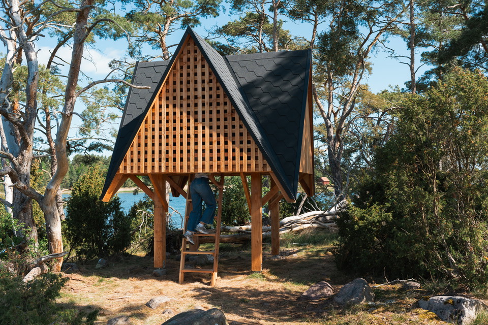
Vindskydd, Ljungnäs
- Municipality: Kalmar
- 6897.97 km away from you
**Take shelter in the treetops. Follow the Kalmarsundsleden trail about 1 km south from Ljungnäs bathing area and you will find this unique shelter on a small hill right next to the water. The shelter is created by the team behind the architecture project A…
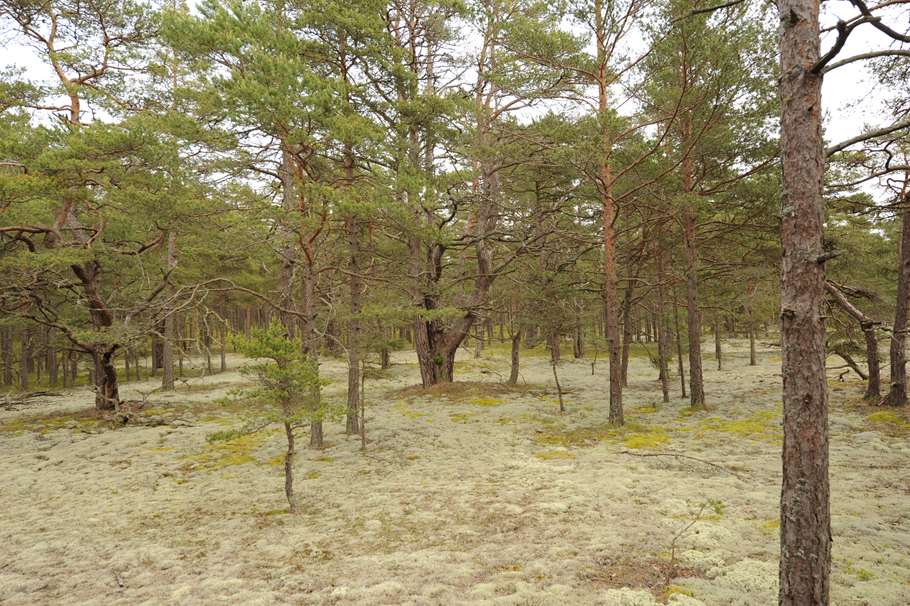
Rastplats Fagerrör
- Municipality: Borgholm
- 6905.74 km away from you
Fagerrör has a magical feel with its old, sparse pine forest. A railroad runs from Trollskogen to Fagerrör, built in the early 1900s to transport timber from the crown park. Today, the railroad is open to tourists during the summers and the bathing area is…
Bokarna i Böda
- Municipality: Borgholm
- 6903.65 km away from you
Bokarna i Böda is a beautiful picnic area surrounded by old beech trees.
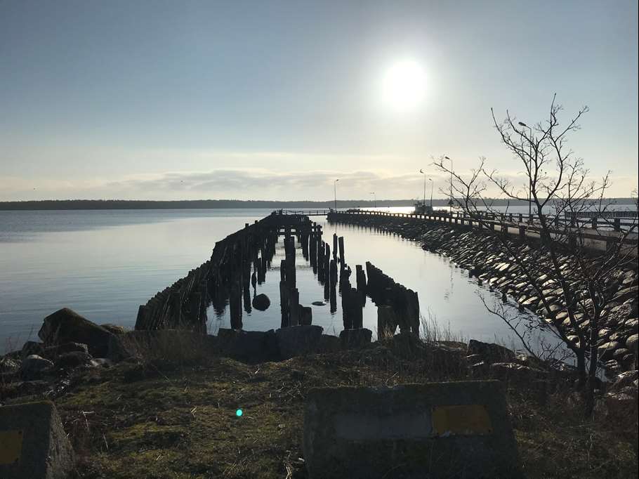
Vita Sand, entrance KS6/KS7 - Kalmarsundsleden
- Municipality: Kalmar
- 6902.75 km away from you
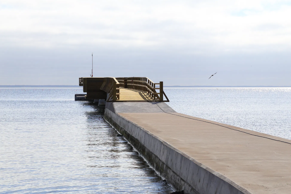
Trail entrance KS7 is located in Vita sand at one of Kalmar municipality's finest beaches, located in a camping area. A shallow sandy beach with a 160 meter long jetty. Adjacent to the beach you will find a kiosk, street food and ice cream bar, playground,…
