
Trossö loop
- Paddling
- County: Blekinge län
- 6890.10 km away from you
Trail details
- Length 6.2 km
- Difficulty Green - simple
Actions
Description
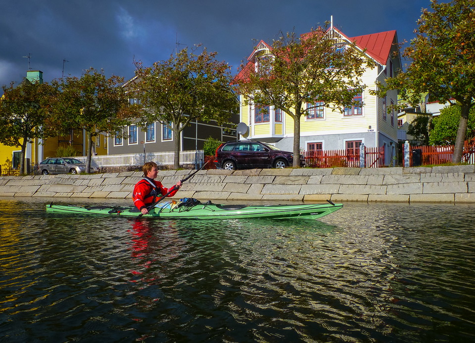
Completely sheltered kayaking in the centre of town. This loop is completely different compared with the other kayaking trails in the app as it runs very close to the town. That said, there’s a bit of a sense of the wild on the outer side of Saltö. You pass waterside houses, canoeing clubs, campsites, swimming spots and the idyllic little houses with gardens on the Brändaholm headland. There are lots of lovely little passages and fountains to kayak through. And you can buy ice cream and pizza without leaving your kayak.
Activities And Facilities
- Paddling
Downloads
Contact
Address
Blekinge Arkipelag Kurpromenaden 4 372 36 Ronneby
Email address
Team ARK56
Organization logotype

I’ve been here 4

I want to go here 6
Questions & Answers
Ask a question to other Naturkartan users.
Reviews
0 reviews
- 5 :
- 4 :
- 3 :
- 2 :
- 1 :
Users images
No user images yet. Be the first to share!
