
-
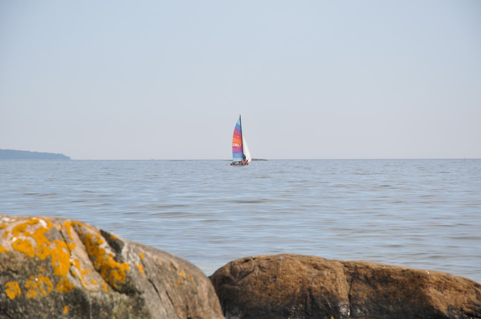
Photo: Mattias Holmquist
Sailing trail, alternative route Fölsö - Bockö - Mjöö
- Waterway
- County: Blekinge län
- 6859.80 km away from you
Trail details
- Length 4.7 km
Actions
Description
There are beautiful anchorages on the north side of Fölsö and the island has several barbecue spots and toilets. The island of Östra Bokö, on the other side of the strait has anchorages on the north side, plus a jetty on the south side. The island has toilets and a solar-powered shower. Both Fölsö and Östra Bokö are interesting islands to explore. Bockö is the last outpost before reaching the open sea. There are excellent anchorages on the north side. Most of the island is easily accessible and a walk up to the daymark in the south-east of the island is rewarded by fabulous views. You can round Mjöö to the north or south. Leave a good margin when rounding the Allböle peninsula though.
Activities And Facilities
- Waterway
Contact
Address
Blekinge Arkipelag Kurpromenaden 4 372 36 Ronneby
Email address
Team ARK56
Organization logotype

I’ve been here
I want to go here
Questions & Answers
Ask a question to other Naturkartan users.
Reviews
0 reviews
- 5 :
- 4 :
- 3 :
- 2 :
- 1 :
Users images
No user images yet. Be the first to share!
