
Hällmarkslingan
- Hiking
- Walking
- Near parking
- Near Public Transport
- Guide: Botkyrka kommun
- 6831.10 km away from you
Trail details
- Length 5.3 km
Actions
Description
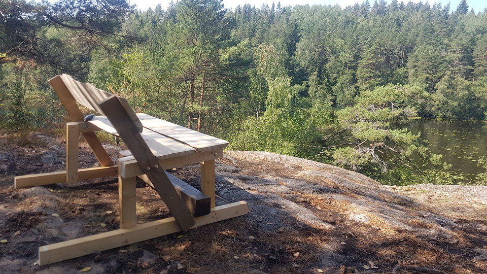
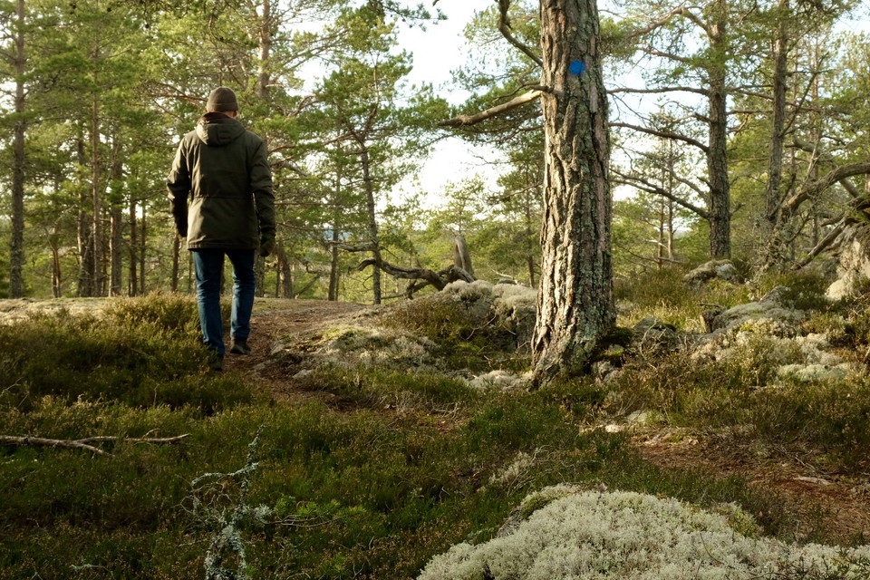
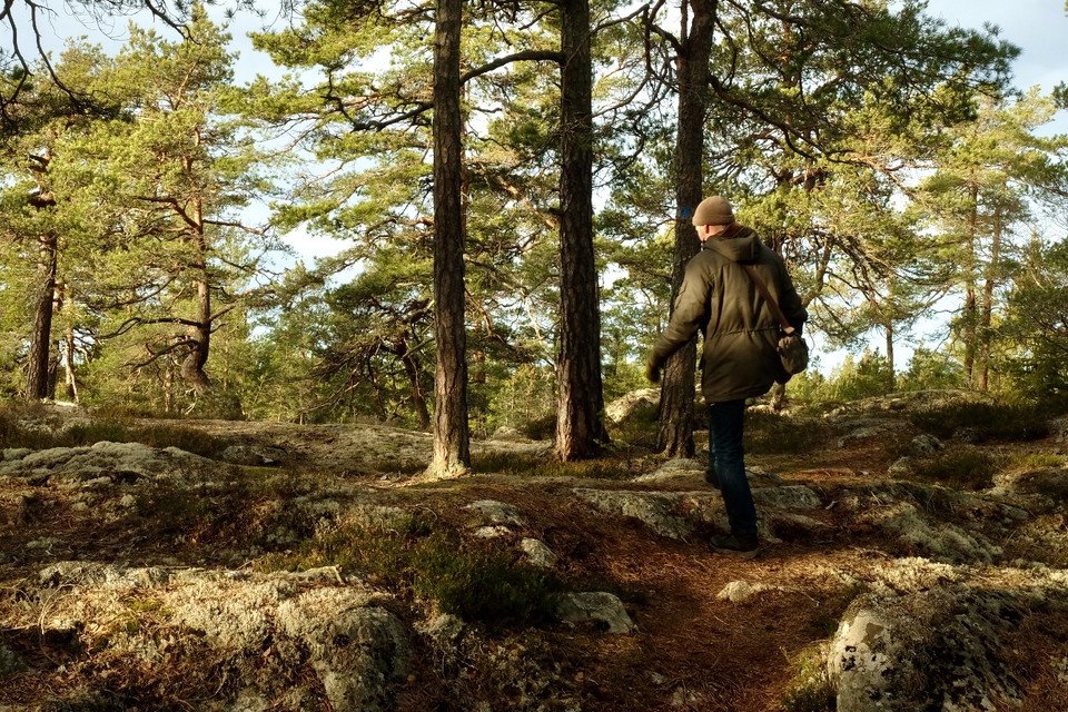
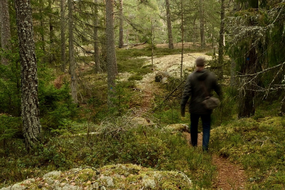
Hällmarksslingan takes you around the western parts of the Vinterskogen nature reserve. Large parts of the loop take you over fine lichen-covered rocky areas, sparsely overgrown with low old pines. The ground is slightly hilly and gives a taste of the beautiful rift valley landscape. On the Hällmarkslingan trail you can experience the forest's varied environments from coarse fast-growing spruces in the hollows, mixed forest with elements of aspen, birch and willow to the low-growing twisted old pines on the rocky ground. The trail is marked in blue. Along the lakes, it has the same route as Sjöslingan and takes you past the nice barbecue house between Brosjön and Mellansjön.
Activities And Facilities
- Walking
- Hiking
Accessibility
- Near parking
- Near Public Transport
Directions
The nature reserve and associated trails are most easily reached from Dalvägen, between Vårsta and Tumba, in Botkyrka municipality. There is a nature reserve sign by the road just before you get to Vårsta center when you come from Tumba. There you can also get off the bus, stop "Bergudden". Then follow the road west down to the parking lot at Brotorpsbadet. Vinterskogen is also accessible from surrounding residential areas.
Contact
Email address
Jonathan Kearney
Organization logotype

Please be aware that some of these texts have been automatically translated.
I’ve been here 49










I want to go here 49







Questions & Answers
Ask a question to other Naturkartan users.
Reviews
6 reviews
- 5 :
- 4 :
- 3 :
- 2 :
- 1 :
Tätt markerad men klart mer ansträngande än genomsnittet pga det går upp o ner större delen av slingan.
Users images
No user images yet. Be the first to share!


Bra skor och långärmad tröja bra att ha på sig. En del av slingan går upp och ner, upp och ner (men maximalt nog 40 meter i höjdskillnad), ibland med lite brandare kliv upp. Känns mer som träning, inte som en avslappnad promenad.. Några träd har fallit och ligger över slingan just nu i september. Markeringen är bra.