
-
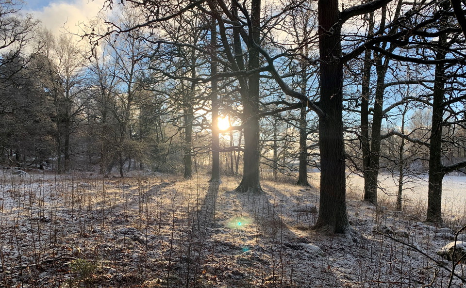
Vintersol i Bornsjön.
Photo: Lena Malmström -
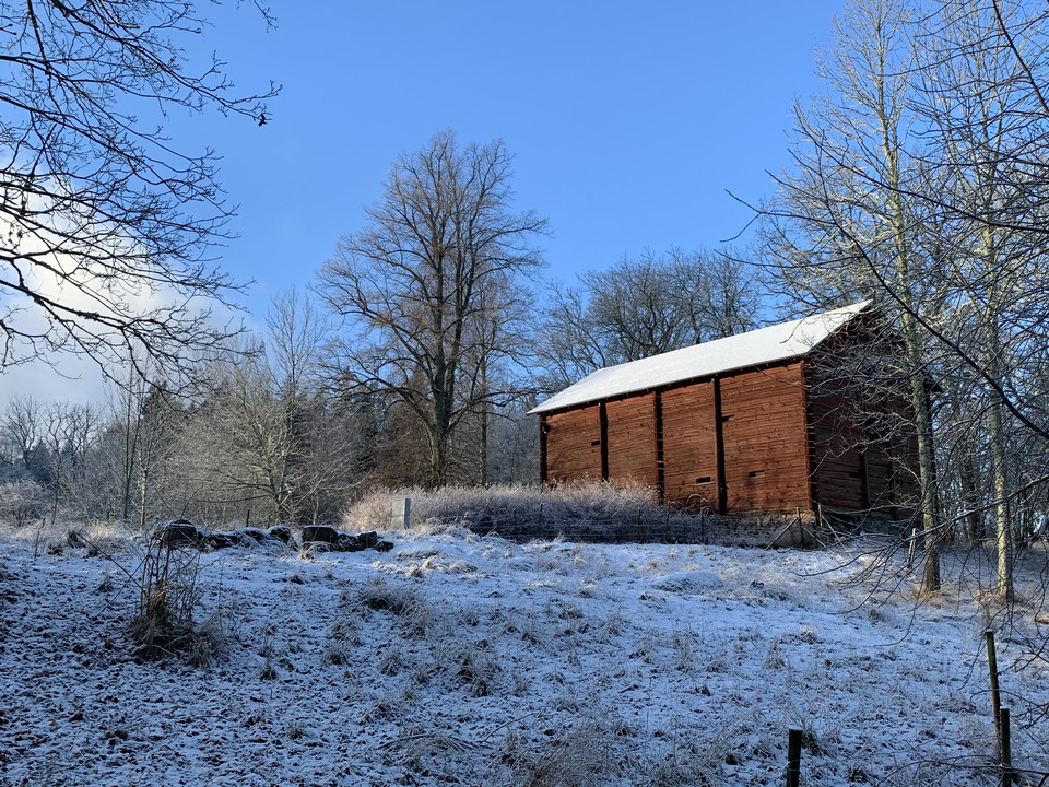
Lada vid Skårby, Bornsjön.
Photo: Lena Malmström -
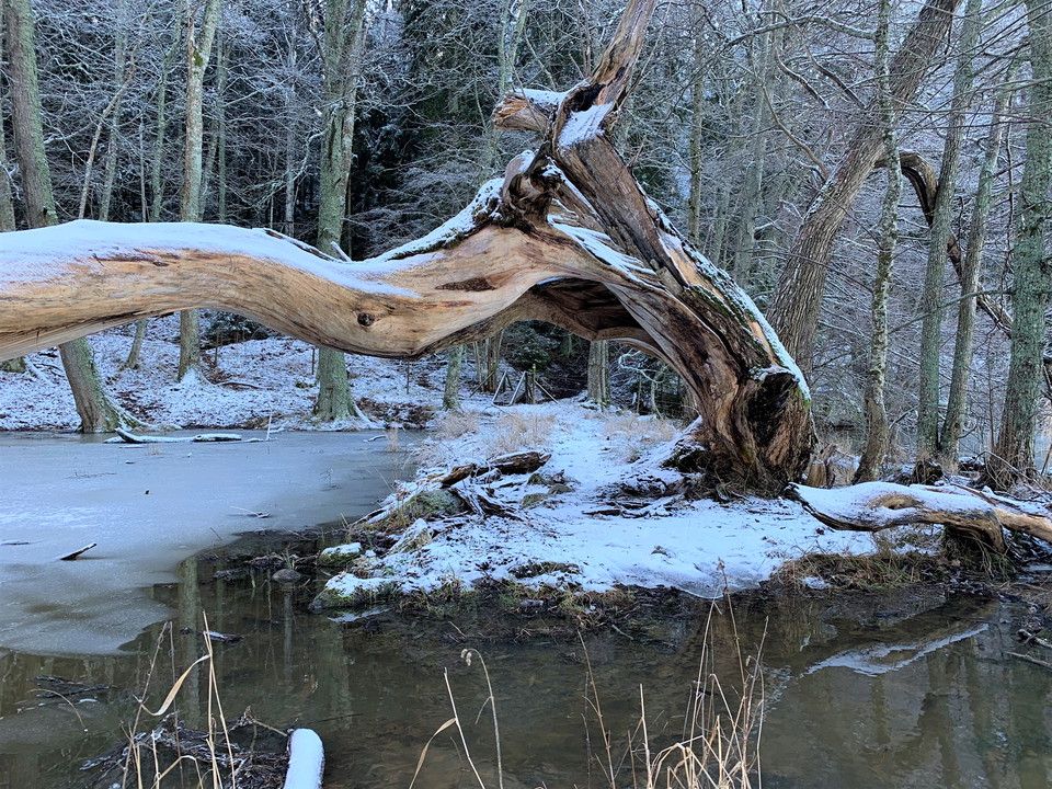
Leden passerar över flera stättor och under en vacker ekstam.
Photo: Lena Malmström -
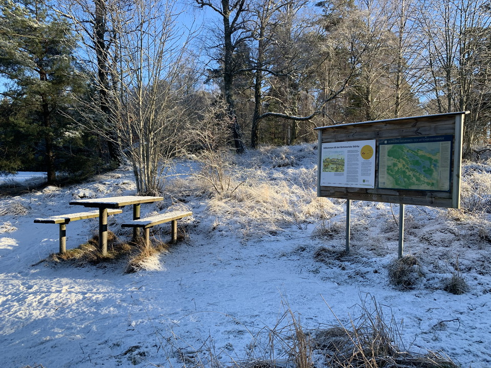
Rastplats i Bornsjöns naturreservat.
Photo: Lena Malmström -
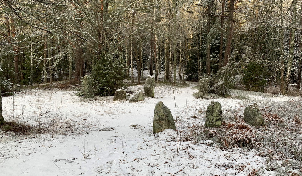
Bergaholms gravfält, en av områdets många fornlämningar.
Photo: Lena Malmström
The Bornsjön nature trail
- Hiking
- Near parking
- Guide: Nature reserves and National Parks in Stockholm County
- 6825.48 km away from you
Trail details
- Length 4.5 km
Actions
Currently
Please note that the waymarking along this trail is poor. In some parts of the trail you will find old trail markers on the trees, but not everywhere. Storm-damaged trees have also caused the trail to be re-routed, so the trail markings are not always accurate. Keep an eye on the digital map if you are unsure.
Description
The Bornsjön nature trail is a 4.5 km long trail that takes you through the hilly forests and open fields that surround Sturehov Manor. The trail begins by the East Bergaholm entrance, with the trailhead located at the quarry just behind the parking lot. During the early 1900s, stone was extracted here to build macadam roads. The Bergaholm grave field lies just a bit further down the trail. The impressive linden trees along the avenue at Skårby should not be missed! A branch off the main trail takes you up to the Skårby grave field where you will find huge graves and an expansive vista—offering views of Södertälje and beyond.
Part of the trail follows the shores of Lake Bornsjön. Since Bornsjön is a reservoir for Stockholm's drinking water, swimming and fishing is prohibited.
There are parking spaces, a picnic area, a grill and an informational sign by the trailhead. There are multiple opportunities to take a shortcut if you'd like to do a smaller hike. The trail is hilly.
Activities And Facilities
- Hiking
Accessibility
- Near parking
Facts
Skyddat sedan: 1995
Storlek: 4 615 hektar varav land 3 854 hektar
karaktär: odlingslandskap, kulturmiljö, blandskog och sjö
Kommun: Salem, Botkyrka, Södertälje
Markägare: Stockholm vatten Ab, Stockholm stad, Botkyrka kommun, Sveaskog, Salhems församling
Förvaltare: Stockholm vatten AB
Skyddsform: naturreservat
Övrigt: Natura 2000-område Bornsjön SE0110114
Parking
Please note that the parking lots in the reserve have limited parking time. Different time limits apply in different parking lots. It is important not to stand too long if you do not want to risk fines. Use a parking disk. Under the heading "Links" further down the page you can download a map of the area's parking lots.
Directions
You can get to the trail from the Bornsjön entrance and parking lot at Bergaholm.
By public transit: The closest bus stop is Bergaholmsvägen road, about a 3 km walk. Take bus 708 from the Hallunda subway station or the Rönninge commuter rail station to the Norsborgsvägen bus stop.
See current information about public transit at: [sl.se] (http://sl.se/en)
By car: Take the E4/E20 from Stockholm towards Södertälje and take the exit at Tumba/Alby. Drive on Salemsvägen road north to Bergaholmsvägen road. The entrance and parking lot at East Bergaholm is on the right side.
Regulations
In order to protect the Bornsjön nature reserve, please respect the following rules.
Within the reserve, it is forbidden to:
- destroy or damage permanent natural structures or surfaces by drilling, cutting, blasting, carving, painting or similar,
- break branches, fell or in any other way damage living or dead trees and bushes, damage the vegetation in general by digging up shrubs, herbaceous plants, grasses, mosses or lichens,
- operate motorised vehicles (including snow scooters) outside of designated roads,
- deliberately disturb wildlife (e.g. by climbing nesting trees or rock in close proximity to dens, trapping and killing mammals, birds, reptiles and amphibians),
- camp or park a caravan, motorhome or similar for more than two consecutive nights in the same place (note that this ban is not intended to restrict or complicate HVSS's educational activities; exceptions may be allowed after consultation with the nature conservation manager),
- bicycle outside of designated roads, trails and areas,
- rock climb with climbing rope, or similar activities,
- arrange organised orienteering competitions or training activities, races or similar, without prior consultation with the nature conservation manager (note that large activities with 100+ participants, designated start/finish areas and parking require permission from the County Administrative Board),
- conduct organised camp activities without prior consultation with the nature conservation manager,
- organise rally competitions or similar without prior consultation with the nature conservation manager,
- moor or anchor a boat for more than two consecutive nights in the same place,
- put up a sign, message board, placard, poster or similar, with the exception of informational signs used for area management.
Please note that Lake Bornsjön and the surrounding area is a water protection area, which entails that access to the lake is forbidden according to area regulations (by decision of the County Administrative Board, 2006-11-28).
Contact
Email address
Länsstyrelsen i Stockholm
Organization logotype

Please be aware that some of these texts have been automatically translated.
I’ve been here 19



I want to go here 42






Questions & Answers
Ask a question to other Naturkartan users.
Reviews
10 reviews
- 5 :
- 4 :
- 3 :
- 2 :
- 1 :
Jag har gått denna naturstig många gånger, nu senast november 2021. De flesta ledmarkering har sedan länge försvunnit. Stigen är enkel att följa, om man har tillgång till kartan på openstreetmap. Undantag är sträckan nedanför Skårby, vid Långnäsudd. Här har skogen successivt dött de senaste 20 åren. Döda träd ligger som plockepinn längst en sträcka på cirka 500 meter. Dessutom har allt mer sly börjat komma och bitvis har vildsvinen gjort gyttjebad. Det går att leta sig fram, men det är krävande och rekommenderas enbart för erfarna vandrare. Stigen har nu helt försvunnit på den här sträckan.
Detta gäller både den ursprungliga 8 km långa naturstigen och den 4,5 km sträckan som nu finns på naturkartan.
Users images
No user images yet. Be the first to share!

Jag har nu gått leden igen i båda riktningarna (se min recension från 2021). Sedan förra året har leden röjts, märkts upp och bitvis fått en ny sträckning. Leden är nu i bra skick. På något ställe kan leden vara lite lurigt att hitta, men inte värre än leder i andra naturreservat. På ett ställe, vid stora parkeringen, skulle det behövas röjas sly längs med stigen österut. Tydliga skyltar som pekar in på leden vore önskvärt. Leden går till största delen genom plantage (gran och tall) med små inslag av lövträd och gamla tallar. Tyvärr har inte stigen som går förbi Fågelsta och därefter på andra sidan vägen fått ny märkning. Men stigen är tydlig och lätt att följa. Från Skårby, ta av från den blå leden vid pilen Hästgraven. Observera att gamla stigen längs med sjön vid Långnäsudd är oframkomlig, det är nödvändigt att gå runt. För den svampintresserade finns mycket att se då antalet döda träd snabbt ökar i hela skogen, i synnerhet längs med den blå leden. Bl.a. rynkskinn, kandelabersvamp och koralltaggsvamp. Dessutom går det att hitta tallticka på de gamla tallarna.