
Viggebyleden
- Hiking
- Guide: Linköpings kommun
- 6779.47 km away from you
Trail details
- Length 8.2 km
Actions
Description
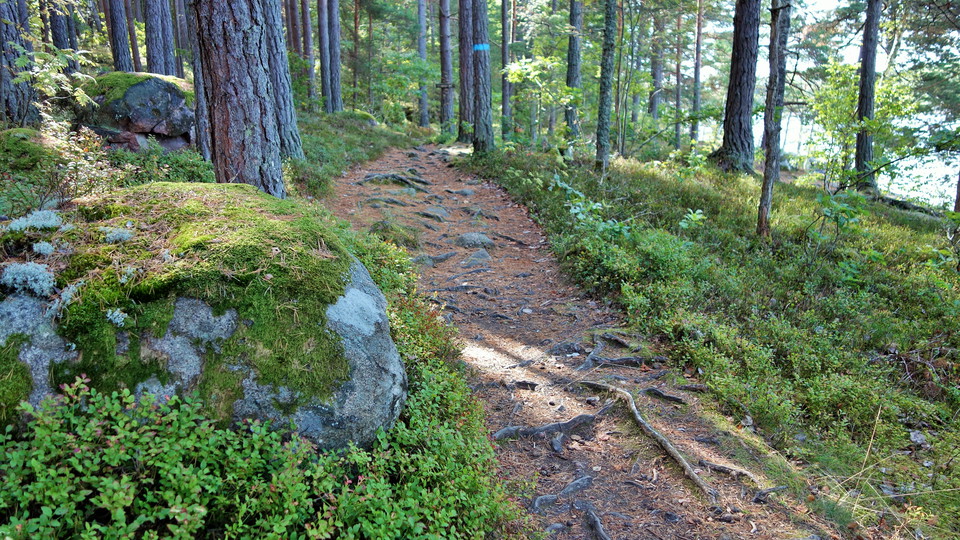
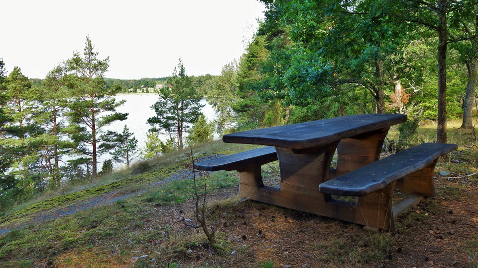
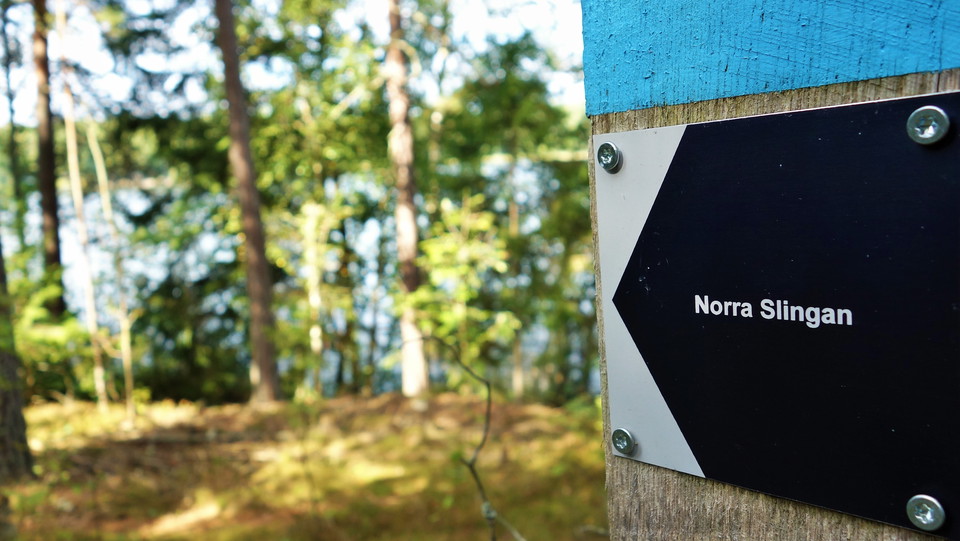
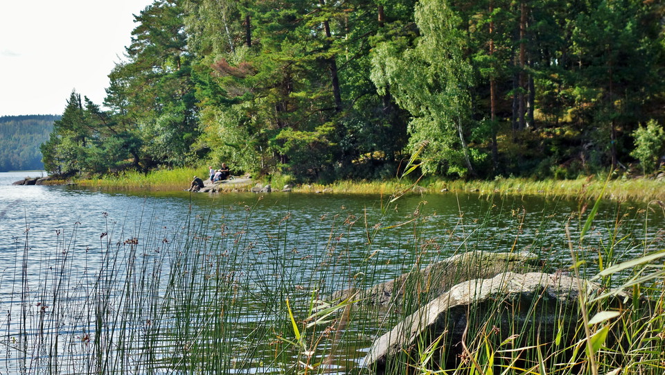
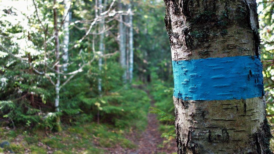
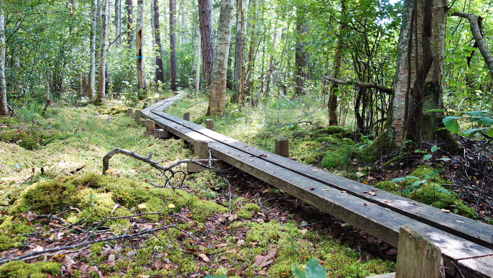
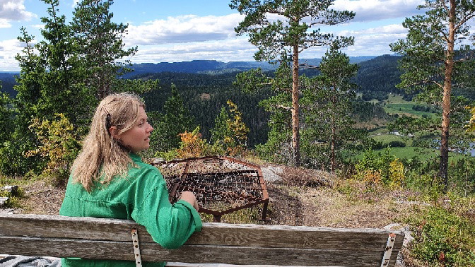
The hiking trail takes you to the most beautiful places on the Viggeby Peninsula. The trail is marked with signs and blue color markings and consists of several loops. It partly follows the Östgötaledens route through the reserve.
Activities And Facilities
- Hiking
Directions
Take highway 23/34 towards Kisa. Turn right towards Viggeby nine kilometers after Skeda udde. Turn right at Brokind Castle and continue west on the gravel road. The trail goes past the three entrances to the nature reserve. The eastern one can be found at the marina 500 meters after the castle. If you continue another 300 meters, you will reach the central entrance. The western entrance is another 400 meters further on. This is the main entrance to the reserve.
Downloads
Contact
Address
Kontakta oss om du har frågor om något på Naturkartan Linköping.
Email address
Naturgruppen
Organization logotype

Please be aware that some of these texts have been automatically translated.
I’ve been here 109



























I want to go here 129

























Questions & Answers
Ask a question to other Naturkartan users.
Reviews
8 reviews
- 5 :
- 4 :
- 3 :
- 2 :
- 1 :
Varierad led med olika svårighetsgrad på olika sektioner. Kommer man dit när det är myggsäsong är det bäst att ha på sig myggmedel överallt. Myggen bet mig genom två lager tyg. Annars mycket fåglar och vacker natur att beskåda.
Users images
No user images yet. Be the first to share!


väldigt Sankt just nu på flera ställen. bra skor rekommenderas