





Sveriges nationalparker
Välkommen ut till Sveriges finaste natur

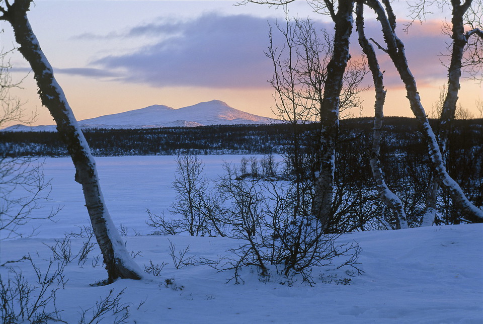
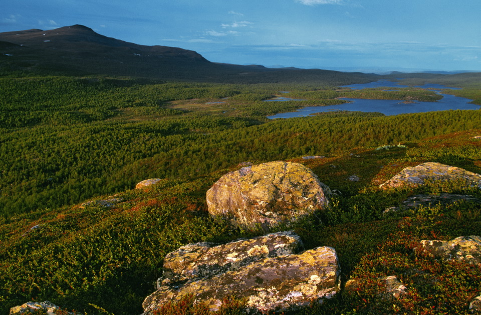
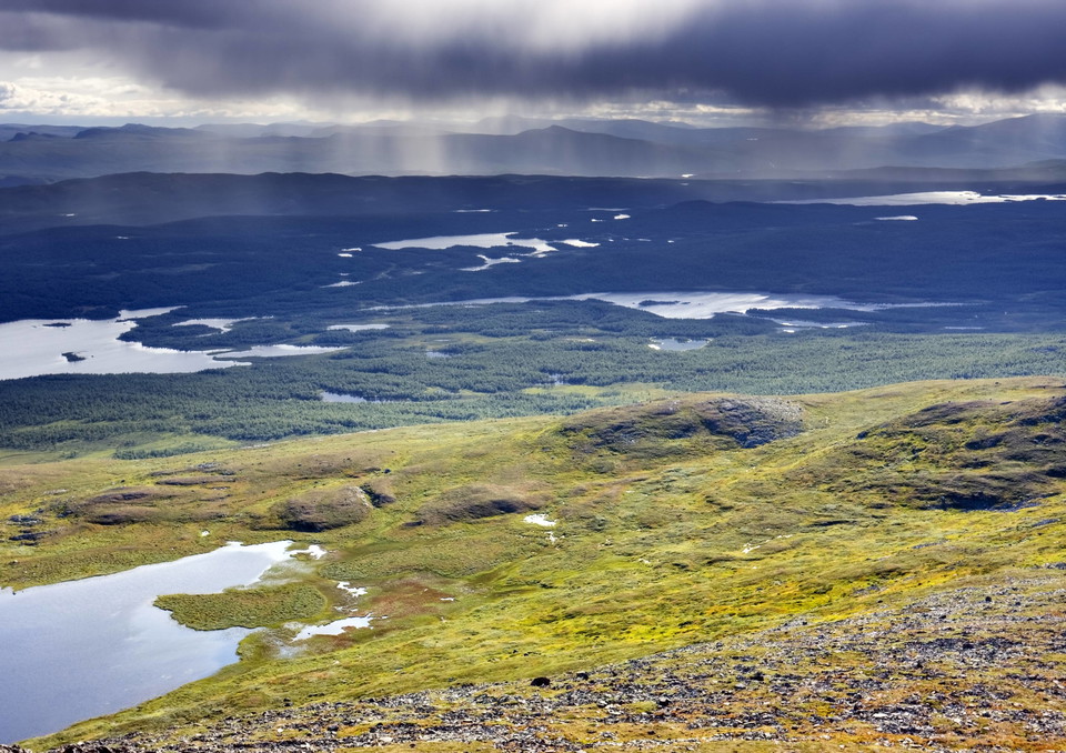
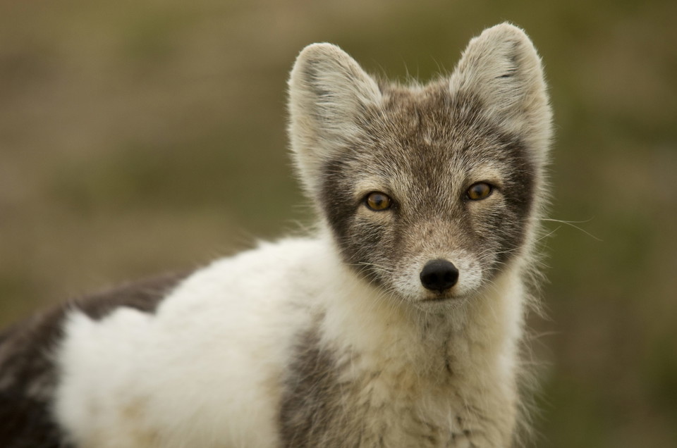
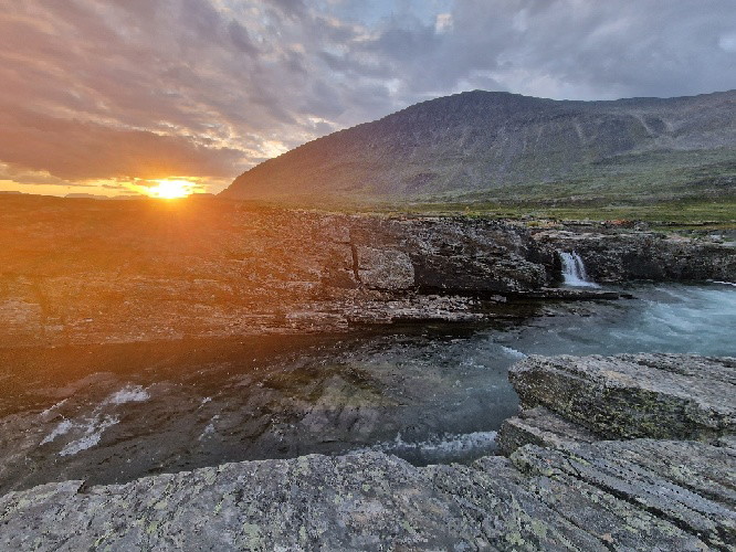
Pieljekaise National Park is in the Arjeplog mountains between Jäckvik and Adolfström.
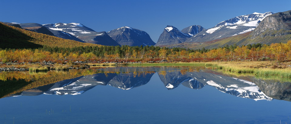
The highest mountain, with a summit 1,138 metres above sea level, is Pieljekaise, which also gave the national park its name. In Sami the mountain is called Bieljijgájse, which means ”ear mountain”. The two peaks of the mountain look like an ear in profile.
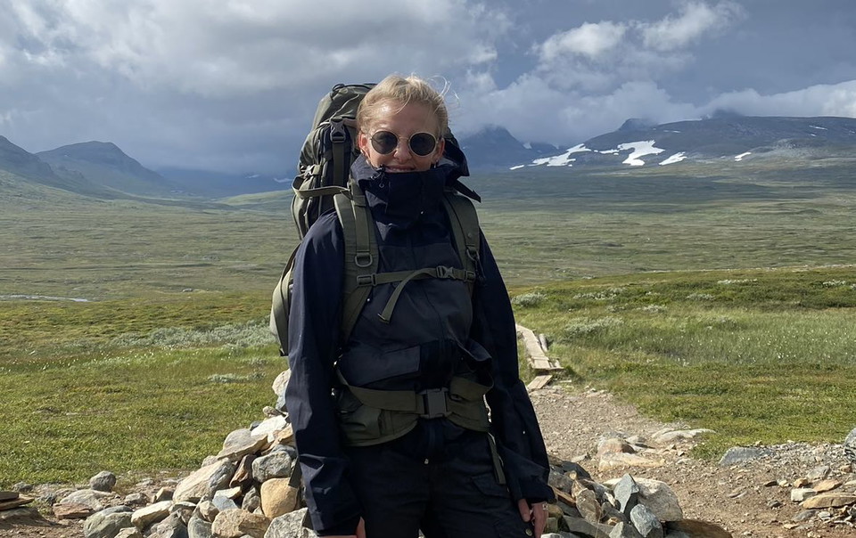
The national park is in a low mountain area with many small lakes and birch forests, but also heaths and meadows with abundant flora. The aim of the national park is to preserve an area with mountain birch forests in its natural state.
Pieljekaise National Park is in the Semisjaur-Njarg sameby, a Sami economic and administrative unit created with the intention of tending reindeer.
Pieljekaise National Park is in the Arjeplog mountains between Jäckvik and Adolfström. You can get here by car and by bus.
From the community of Arjeplog, it is 60 kilometres along highway 95 (the Silver Road) to Jäkkvik. The King’s Trail enters there from the north and leads farther south through Pieljekaise. There is bus service from Skellefteå to Jäkkvikk via Arvidsjaur and Arjeplog. If you want to enter the national park from the south, turn off from the Silver Road towards Adolfström instead. The King’s Trail also goes through there. That will add 10 km to the trip.
Länstrafiken Norrbotten (bus and coach operator) website Visit Arjeplog website
Länsstyrelsen Norrbotten





Ask a question to other Naturkartan users.
0 reviews
No user images yet. Be the first to share!