


Hiking along ARK56 in Blekinge - discover beautiful nature and yourself
Regardless of whether you are a hardcore hiker and want to hike for a week,…


Hiking
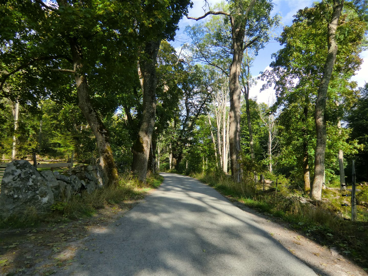
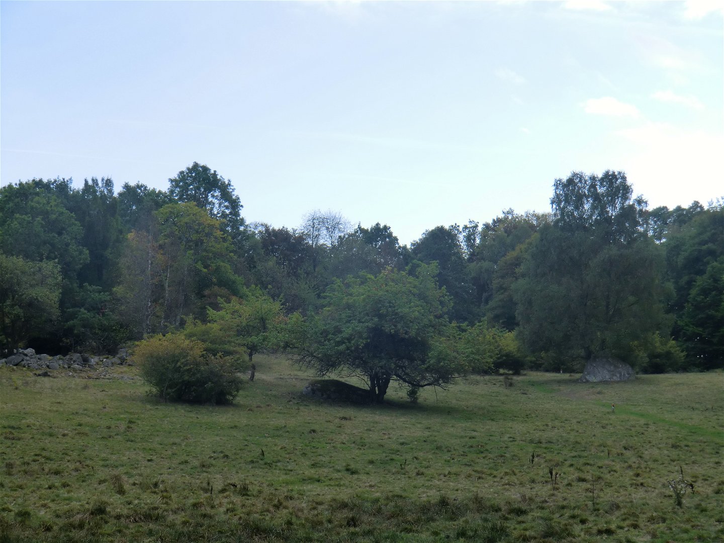
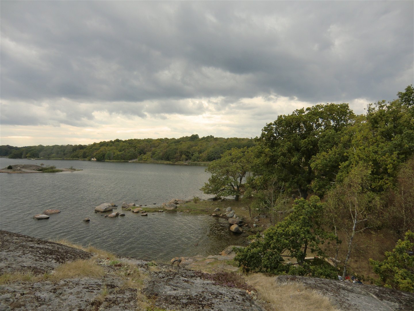
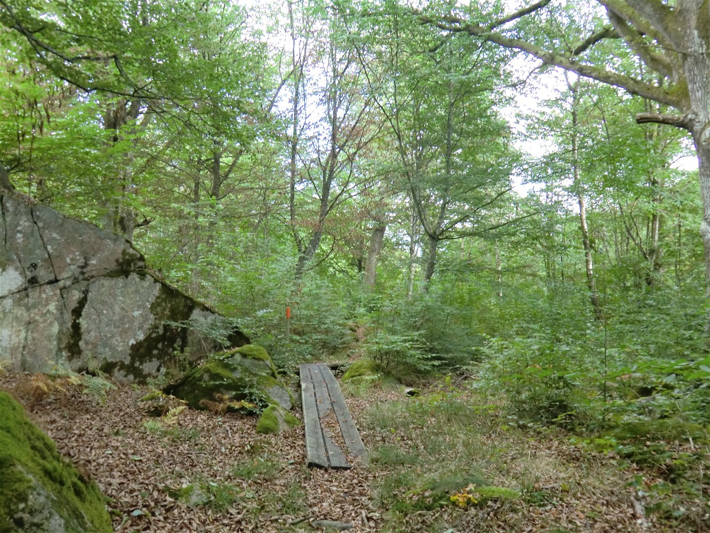
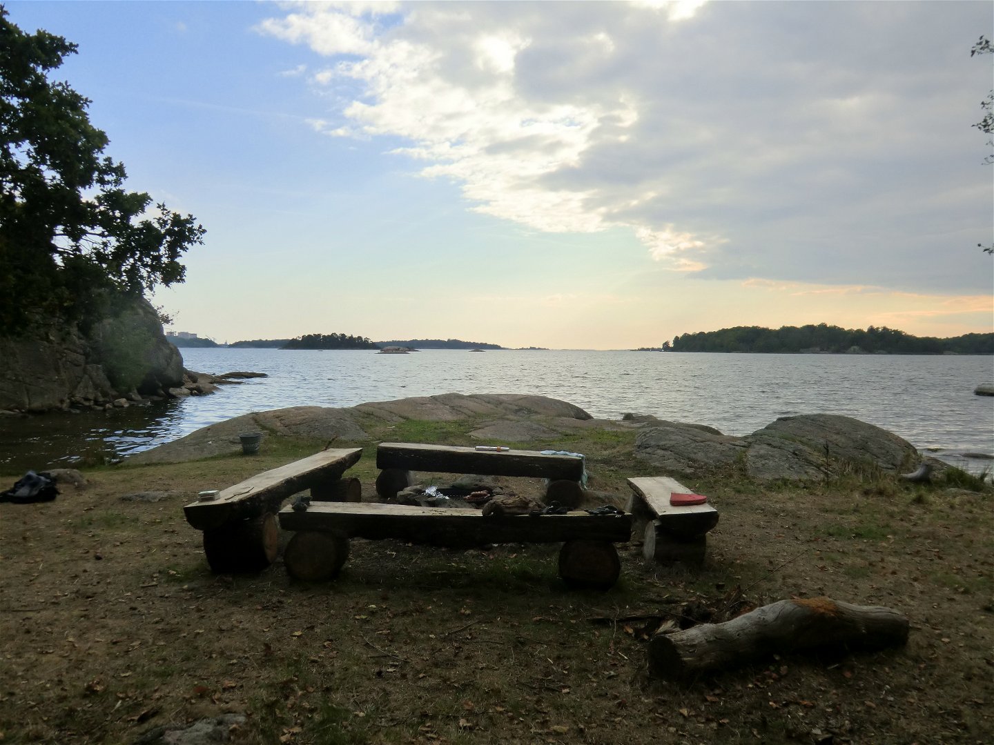
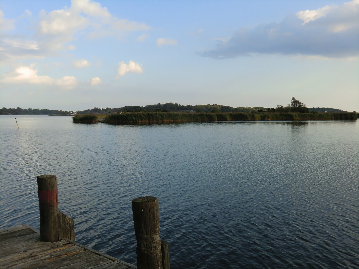
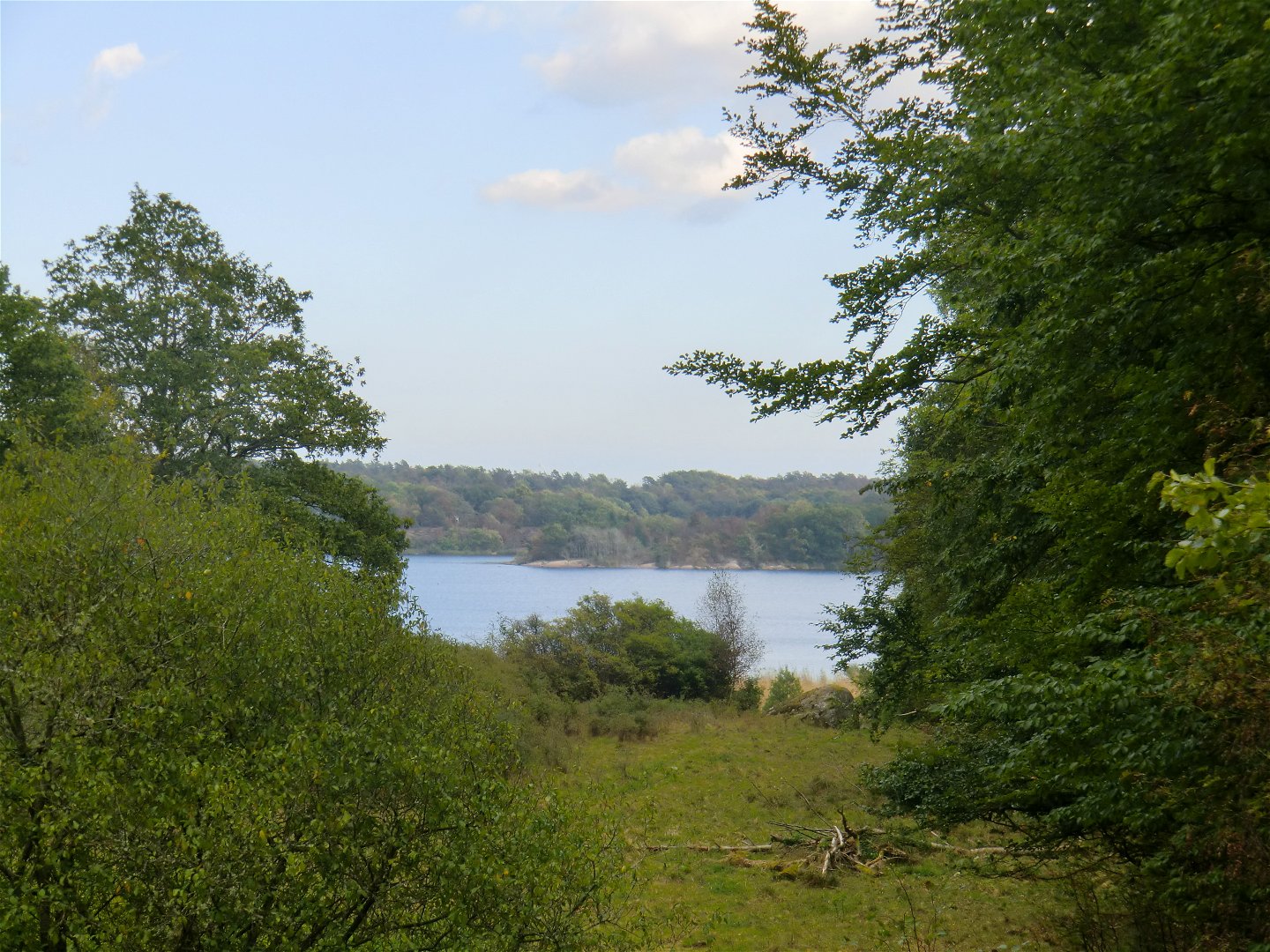
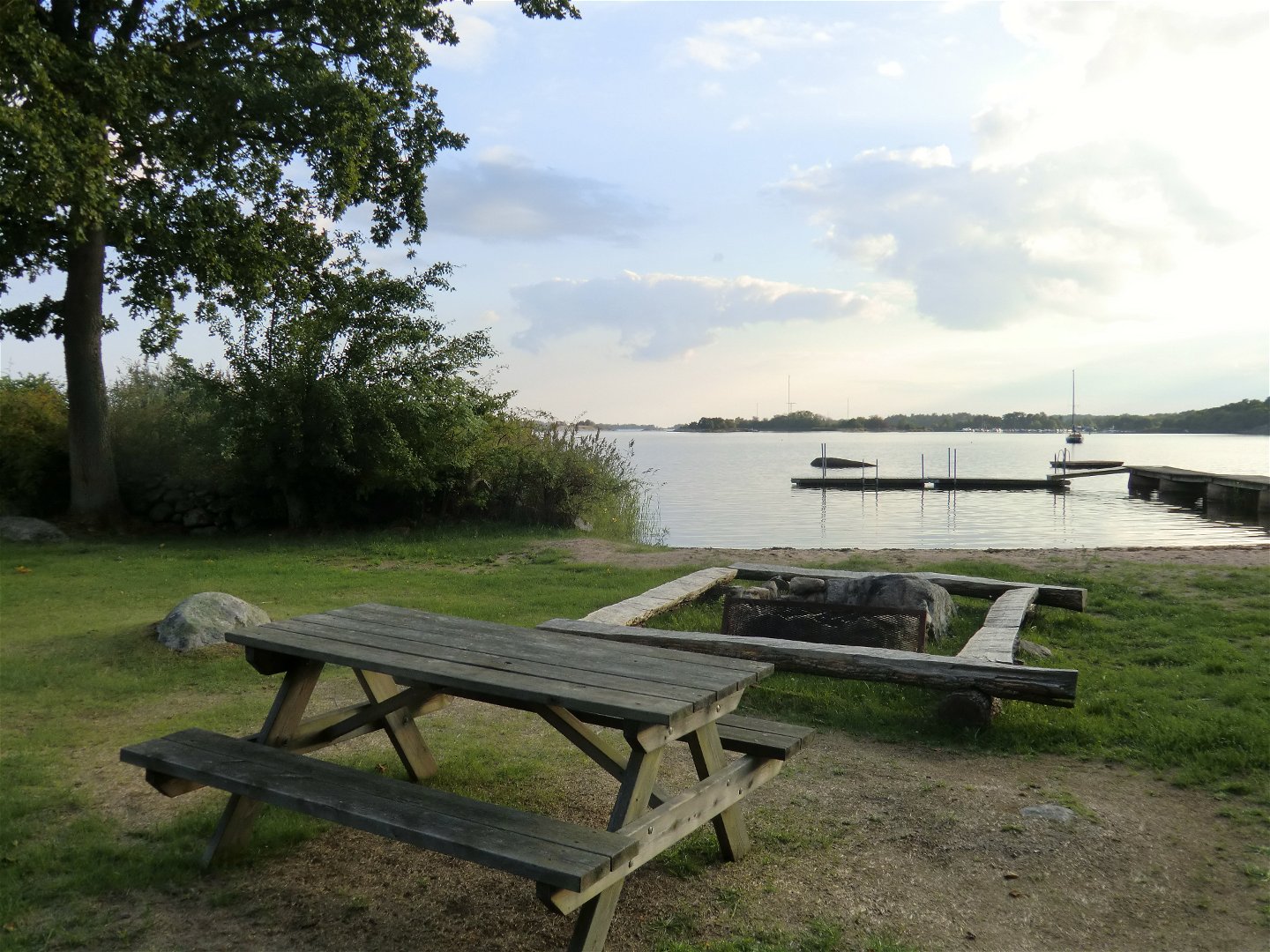
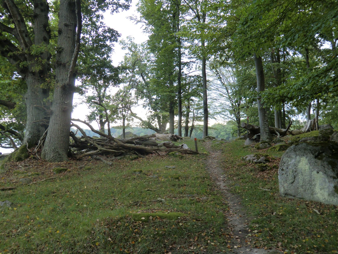
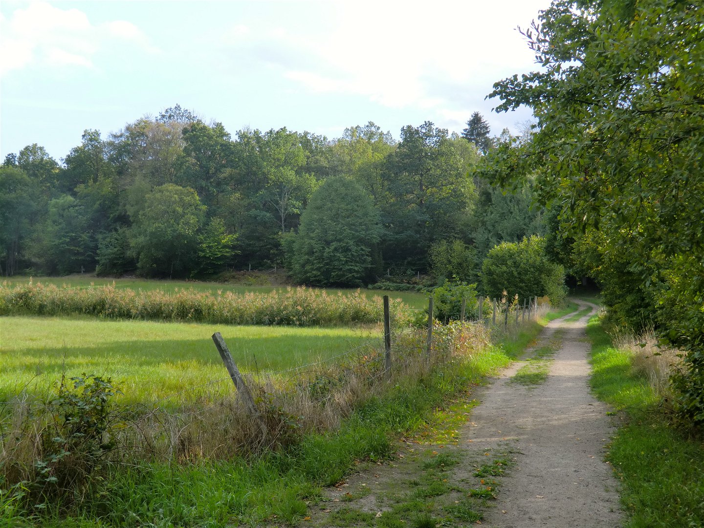
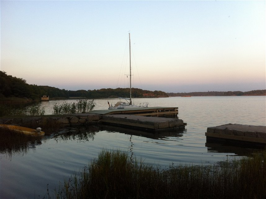
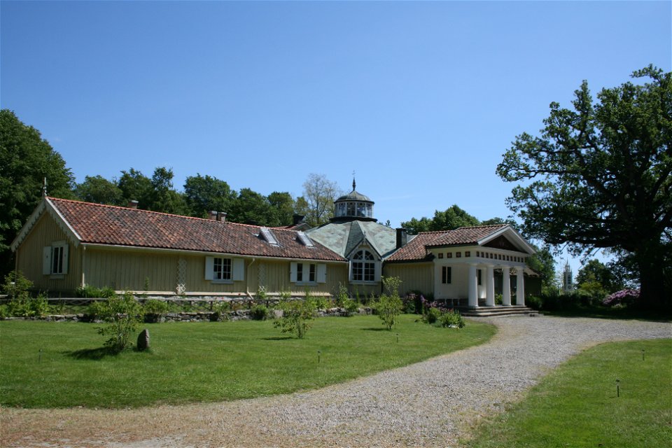
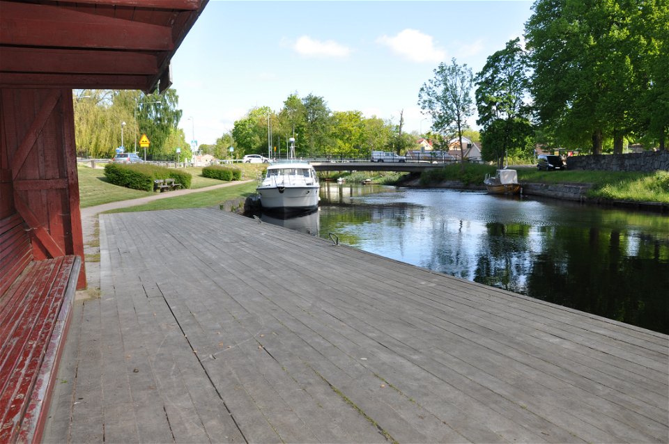
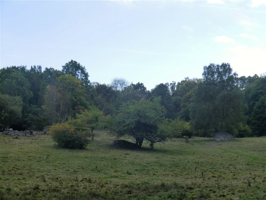
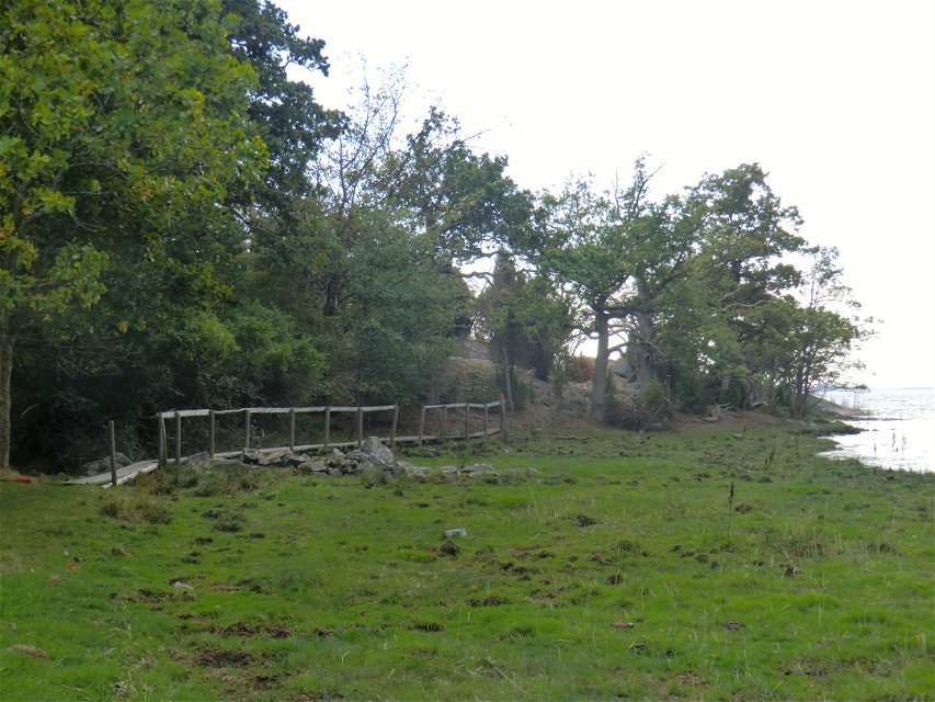
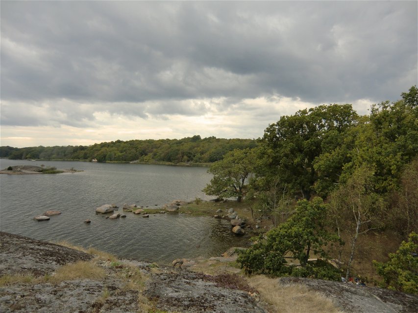
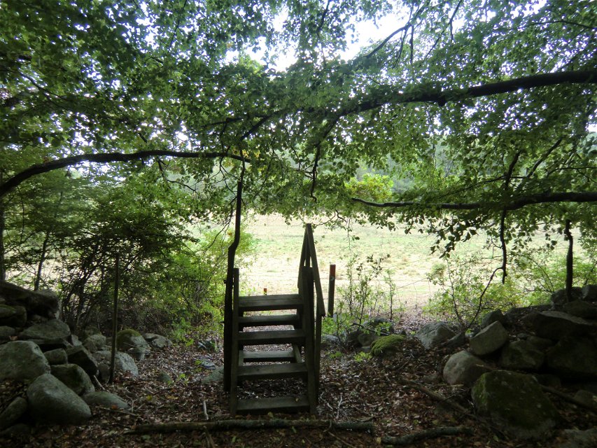
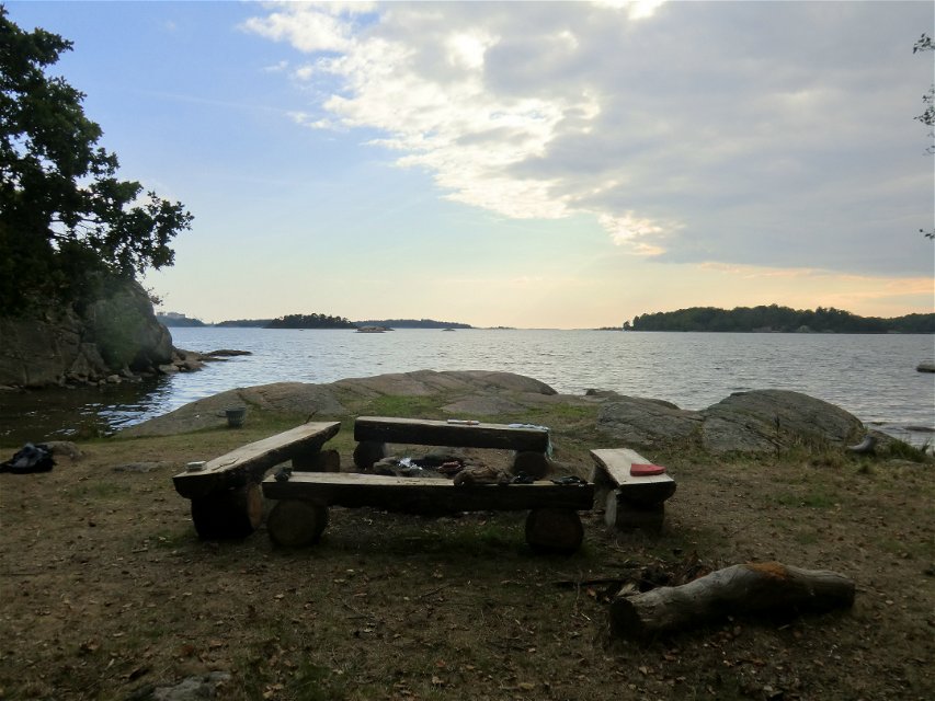
Varied circuits through forest, along the coast, along the beautiful Nättrabyån river and past housing, passing Skärva Gård, Skärva Herrgård, Nättraby church. The whole circuit without detours (see map) is 12 km, Skärvaleden on its own is 5 km. The trail is marked in orange. Picnic and barbecue spots at several locations along the route. There are toilets at Skärva Gård and in the summer at Sjuhalla Badplats.
Hiking
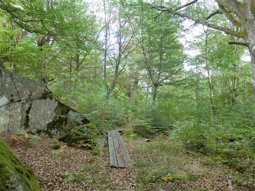
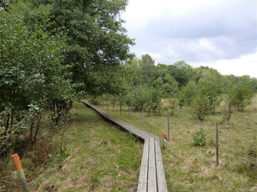
Narrow path, wide path, gravel road and paved road. Parts of the trail are handicapped accessible. From Nättraby Church to Vrängö pier and the area near Skärva Gård.
Blekinge Arkipelag
Kurpromenaden 4
372 36 Ronneby
Team ARK56
![]()
Please be aware that some of these texts have been automatically translated.
Ask a question to other Naturkartan users.
Regardless of whether you are a hardcore hiker and want to hike for a week,…