
-
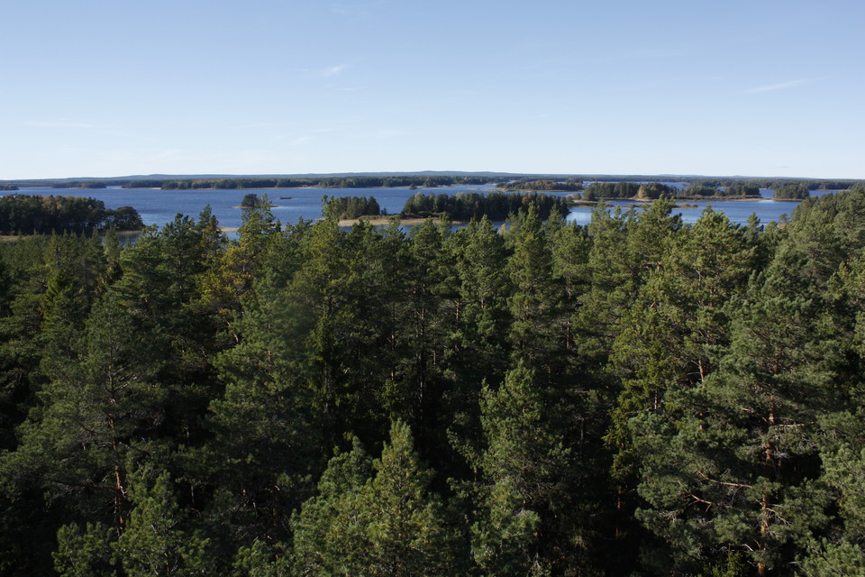
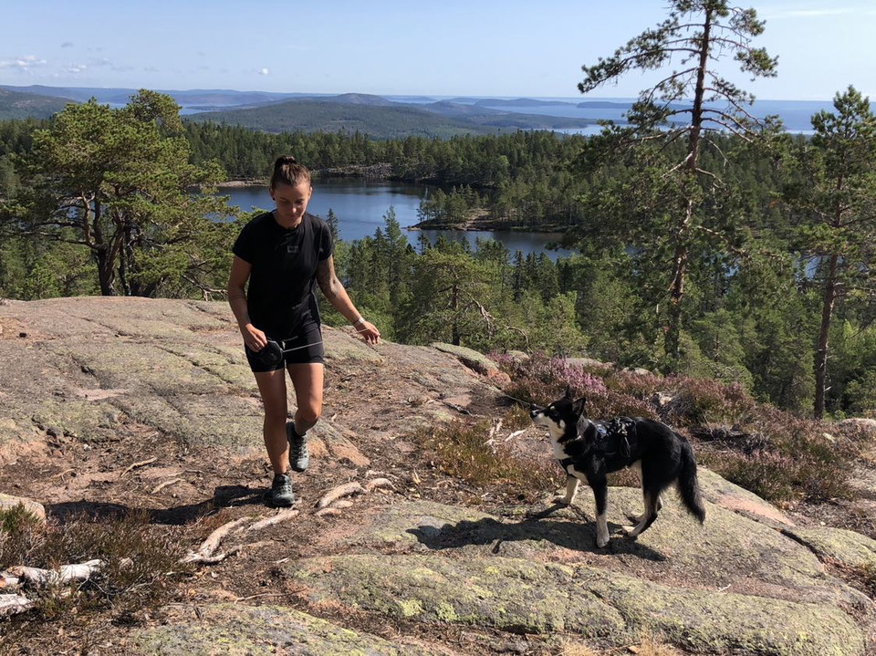
Utsikt från tornet vid Skekarsbo.
Foto: Emelie Runfeldt -
-
Foto: Emelie Runfeldt -
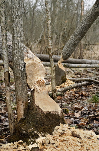
Bävergnag.
Foto: Gillis Aronsson
Upplandsleden, etapp 18, Skekarsbo–Gysinge
- Wandern
- Landkreis: Uppsala län
- 6726.05 km von Ihnen entfernt
Details zum Weg
- Länge 14.5 km
Aktionen
Beschreibung
Section 18, a detour from the northwestern part of The Uppland Trail, goes from Skekarsbo to Gysinge, where you can continue onto The Gästrikland Trail. Large parts go through national park Färnebofjärden, and nature reserve Gysinge, and you’ll pass many nice rest spots with wind shelters and fireplaces. From Skekarsbo, you’ll walk northward to rest spot Brattnäset, and on to Kallviken. The trail then follows paths and gravel roads to the Långvindsängena Bog. Here and just after the bog, you can take two detours, one to a wind shelter with a view, and one to open lodge Kungsgårdens Fäbod.
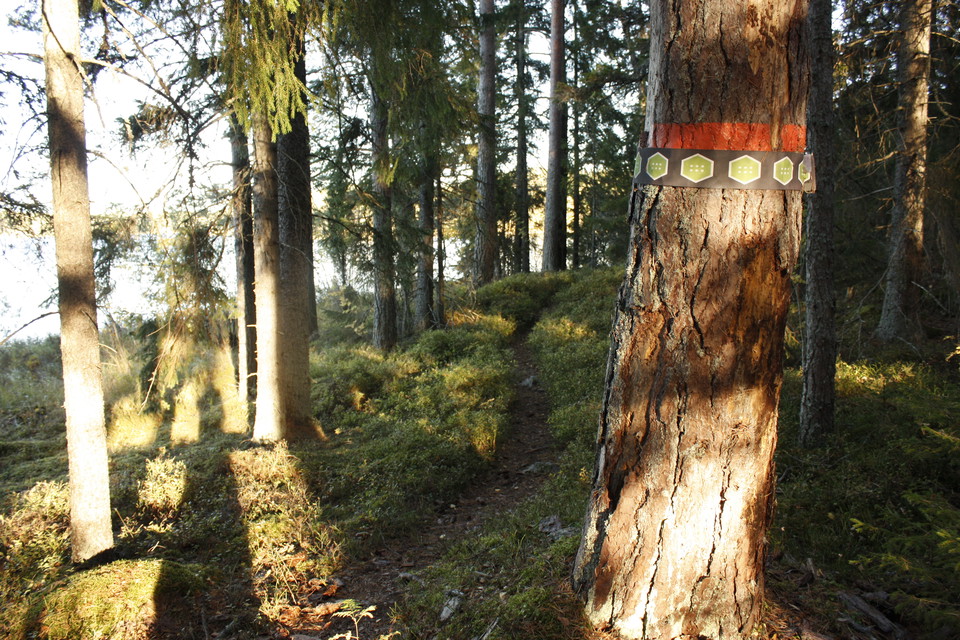
Walking along a forest path, you’ll reach Sevedskvarn, before taking the road across River Dalälven out onto the island of Mattön. Turn right to follow the path along the water on the east side of the island, pass another two rest spots, and lastly cross the bridge into Gysinge. In Gysinge, there is a hostel, and places to eat.
Difficulty level: Medium, mostly forest paths, a few kilometres on a road.
Aktivitäten und Einrichtungen
- Wandern
Oberfläche
Die Wanderung führt auf leicht laufenden Waldwegen und Schotterwegen.
Parken
Parkplätze stehen zu Beginn und zum Ziel zur Verfügung.
Kommunikation
Sie können nicht mit dem Bus nach Skekarsbo kommen. Von Gysinge gibt es Bus nach Gävle, die Haltestelle heißt Gysinges Mühlenhandel.
Busnummern und Fahrpläne siehe [www.xtrafik.se]
Wegbeschreibung
Stage 18 starts at Skekarsbo north of Tärnsjö. To get to Skekarsbo, drive into Tärnsjö and follow the main street (Storgatan) north. At the edge of the community turn towards Gäddsjö. From here it is signposted towards both Kyrkstigen and Skekarsbo.
Kontakt
E-Mail-Adresse
Upplandsstiftelsen
Logotyp der Organisation

Bitte beachte, dass einige dieser Texte automatisch übersetzt worden sind.
Ich bin hier gewesen 30



Ich möchte hierher gehen 54





Fragen & Antworten
Stellen Sie eine Frage an andere Naturkartan-Nutzer.
Bewertungen
0 Rezensionen
- 5 :
- 4 :
- 3 :
- 2 :
- 1 :
Bilder von Nutzern
Es gibt noch keine Nutzerbilder. Sei der Erste, der eines teilt!
