-
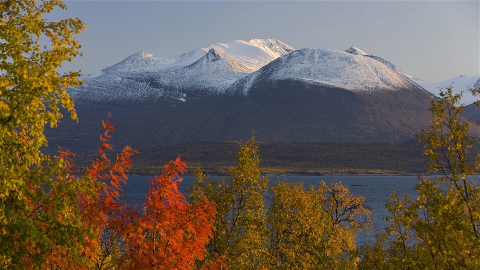
Foto: Matton Collection/Johnér -
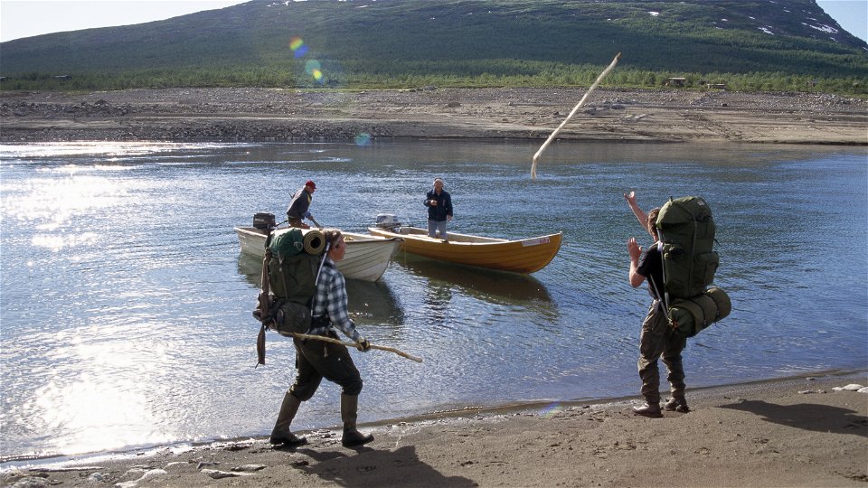
Foto: Kate Kärrberg/Johnér -
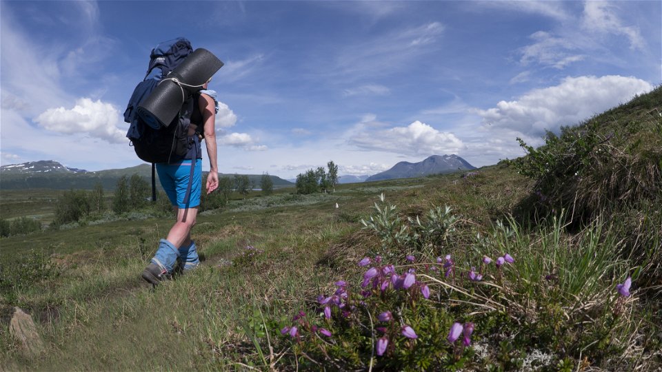
Foto: Göran Wallin -
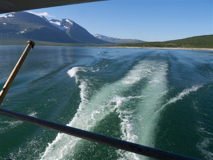
Foto: Göran Wallin


Vaisaluoktastugan-Sáluhávrre, Nordkalottleden och Padjelantaleden
Wandern
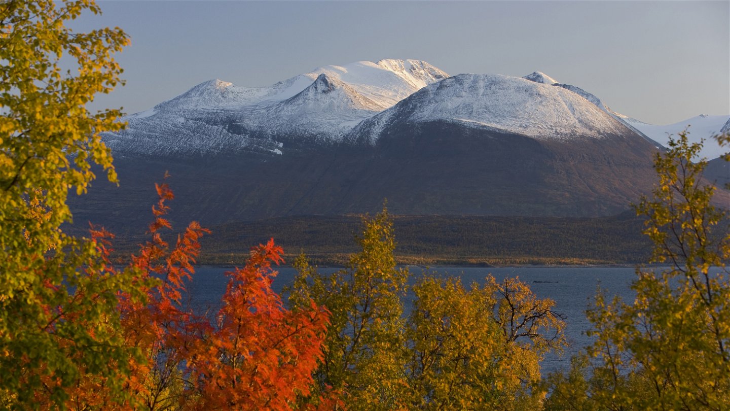
- Landkreis: Norrbottens län
- 7624.44 km von Ihnen entfernt
Details zum Weg
- Länge 34.0 km
Aktionen
Beschreibung
Vaisaluokta Mountain Cabin-Akka, 8 km
The trail follows a stony path southwards along the shore of Lake Akkajaure. The path passes the Sámi settlement of Vájsáluokta. After the church goahte huts at the settlement, you cross Guossjájåhkå stream via a suspension bridge. The hike continues through birch forest along the stony trail beneath the steep mountain Boalnotjåhkkå near Akkajaure. You pass the Sámi settlement at Änonjálmme and what remains is 1.5 km of easily-hiked trail across marshes with plankways, which leads you to the cabin.
Duration: 2-3 hours
Akka-Gisuris, 14 km
Most of this stage is through mountain birch forest. To start with, the forest is dense and the path is rocky in places. After 2 kilometres you reach the gushing waters of Vuojatädno River. The river is crossed by a long suspension bridge. Once across it, you are in Stora Sjöfallet/Stuor Muorkke National Park with a good view of Áhkká mountain and Vuojatädno River. The hike continues through sparser forest and passes a number of streams via small bridges. At a stream called Sjnjuvtjudisjávrásjjåhkå there is a resting spot and a latrine. After that, the trail follows plankways across a fairly big waterlogged area. A gradual climb takes you up to a flat moorland terrace. The trail continues down to the suspension bridge across Sjnjuvtjudisjåhkå stream. After the bridge you come to the so-called Three Park Point. Two streams run together, marking the boundaries between the three national parks Stora Sjöfallet/Stuor Muorkke, Padjelanta/Bádjelannda and Sarek. After that, a 1-kilometre hike remains.
There are good tent pitches at the height after the bridge across Vuojatädno, on a ridge between the bridges on the slope of Áhkká and at the resting spot.
Duration: 4-6 hours
Gisuris-Sáluhávrre, 12 km
The trail offers easy hiking across mountain moor and along esker ridges with a view of Lake Kutjaure. The trail passes near a Sámi settlement belonging to Sirges Sámi community. At times, accommodation, boat transport and provisions are available here. After the settlement, the trail continues alongside Vuojatädno River across easily-hiked moorland. Willow brush grows in places near Lake Tsågahávrre. A few kilometres from the lake, at the long suspension bridge across Vuojatädno, the trail joins the western branch of the Arctic Trail.
Duration: 4-5 hours
Most of the trail is managed by the Laponia administration.
Aktivitäten und Einrichtungen
-
Wandern
Oberfläche
Vaisaluokta Mountain Cabin-Akka: mostly rocky trail. Between Änonjálmme and Akka, easier hiking across marshland with plankways.
Akka-Gisuris: the first part is rocky. The surface then gradually becomes easier to hike and comprises moorland and marshland with plankways.
Gisuris-Sáluhávrre: easily-hiked moorland and gravelly esker ridges, as well as some plankway stretches across waterlogged ground.
Kommunikation
You can get to Vaisaluokta Mountain Cabin on board the STF boat M/S Storlule from Ritsem. Ritsem lies about 180 km from Gällivare. There is a road, and the easiest way to get here is by bus, unless you drive.
The boat M/S Storlule (Swedish Tourist Association website)
Länstrafiken Norrbotten website (bus and coach operator)
Gällivare Turistcenter website
Kontakt
E-Mail-Adresse
Länsstyrelsen Norrbotten
Logotyp der Organisation
![]()
Bitte beachten Sie, dass einige dieser Texte automatisch übersetzt worden sind.
Fragen & Antworten
Stellen Sie eine Frage an andere Naturkartan-Nutzer.
