Svartberget
Naturschutzgebiet
- Landkreis: Norrbottens län
- 7619.08 km von Ihnen entfernt
Aktionen
Beschreibung
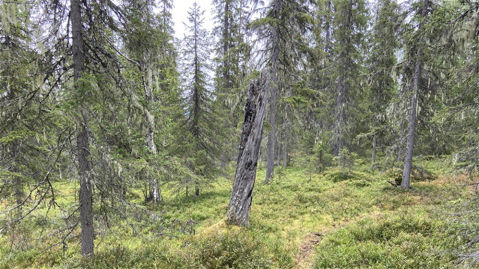
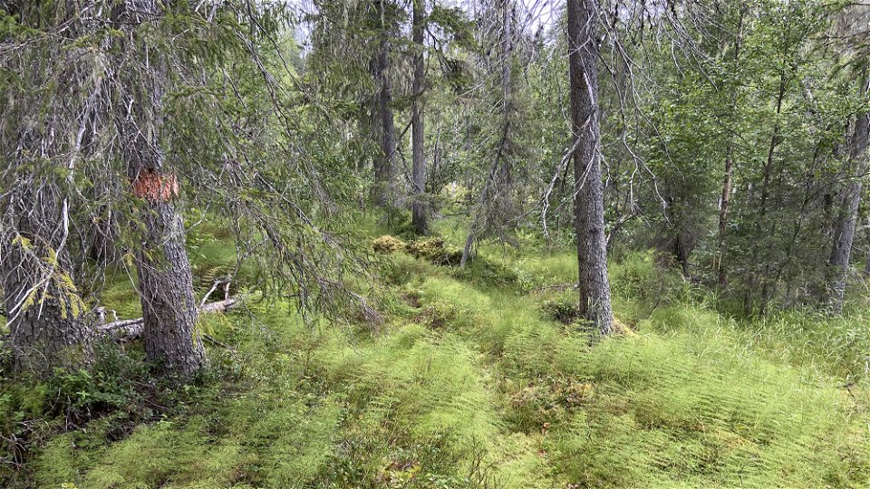
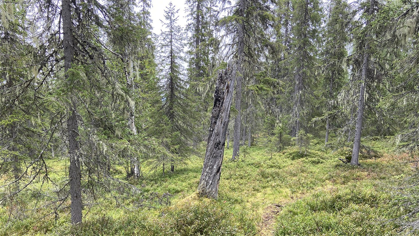
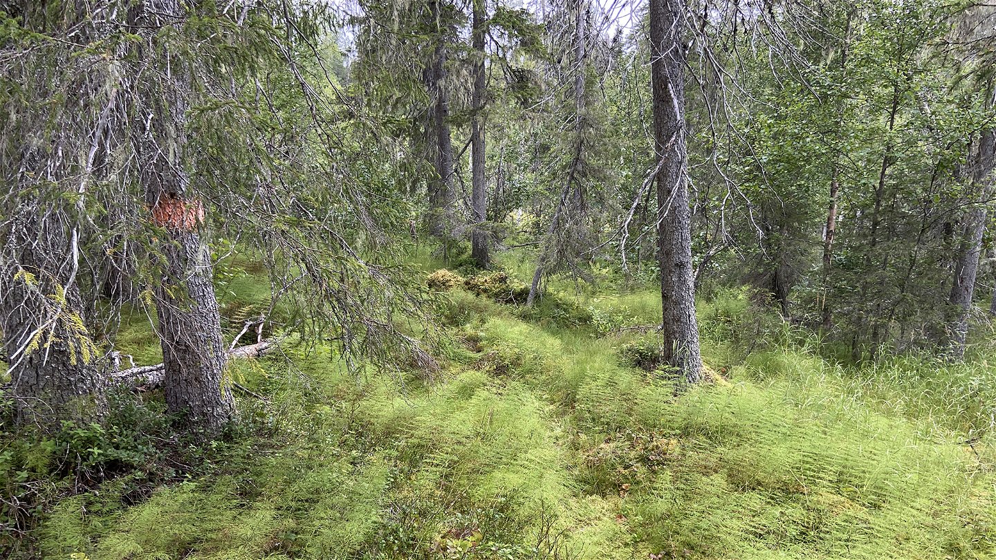
Up on the mountain summit, among windswept trees lies bedrock that is exposed and dramatically fractured. At the interpretive boards there is trail which leads up to the mountain summit. The trail is about 3 kilometres long. On the way you may encounter some of the bird species of the primary forest. The area is 8.2 square kilometres in size and snowmobiles are forbidden except in the very northernmost part.
Aktivitäten und Einrichtungen
-
Naturschutzgebiet
Fakten
Municipality: Överkalix
Year formed: 1997, 2009
Size: 8.2 square kilometers
Administrator: County Administrative Board
Form of protection: Nature reserve, Natura 2000
Kommunikation
The nature reserve lies about 13 kilometres northwest of Lansjärv. The road between Ängesån and Vallsjärv runs through the northern part of the reserve.
Anleitung
The nature reserve is located about 13 kilometers northeast of Lansjärv. The road between Ängesån and Vallsjärv runs through the northern part of the reserve.
Verordnungen
Alla föreskrifter finns i reservatsbeslutet. Det är tillåtet att:
• vandra • tälta • göra upp eld • plocka bär och matsvamp • fiska och jaga i enlighet med gällande lagar
Det är inte tillåtet att skada växt- och djurliv. Det är heller inte tillåtet att köra snöskoter i reservatet förutom allra längst i norr.
Tänk på allemansrätten och var rädd om naturen!
Kontakt
E-Mail-Adresse
Länsstyrelsen Norrbotten
Logotyp der Organisation

Bitte beachten Sie, dass einige dieser Texte automatisch übersetzt worden sind.
Fragen & Antworten
Stellen Sie eine Frage an andere Naturkartan-Nutzer.


