Sandöörarna
Naturschutzgebiet
- Landkreis: Norrbottens län
- 7495.6 km von Ihnen entfernt
Aktionen
Beschreibung
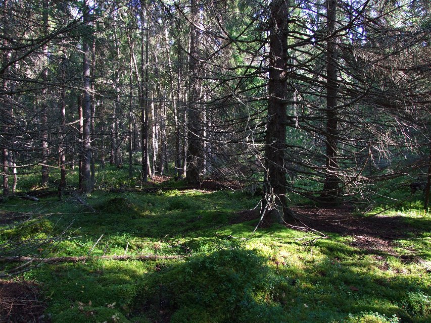
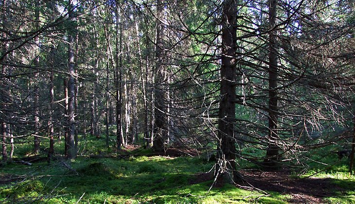
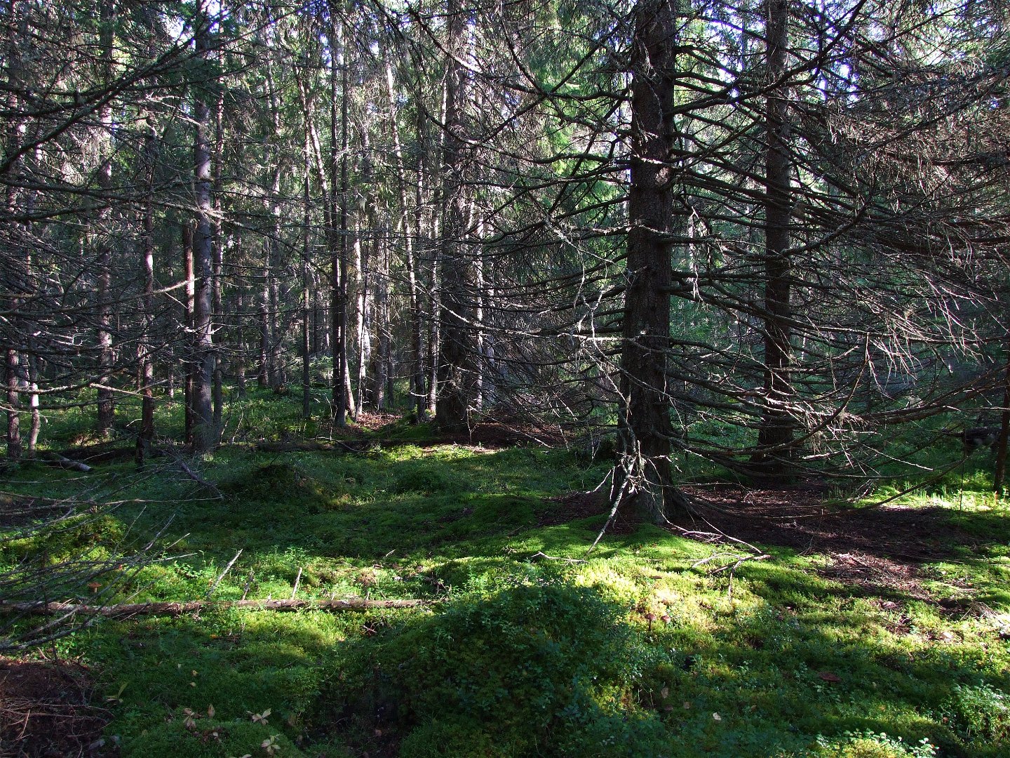
In Luleå archipelago, on the southernmost point of Sandön, lies Sandöörarna. Here the visitor encounters boulder-strewn outwash till, washed by waves. In the natural forest, different primary forest species thrive, such as the beautiful red polypore fomitopsis rosea. The area is 0.9 square kilometres in size.
Aktivitäten und Einrichtungen
-
Naturschutzgebiet
Fakten
Municipality: Luleå
Year of formation: 2017
Size: about 0.9 square kilometers
Administrator: County Administrative Board
Form of protection: Nature reserve
Kommunikation
The nature reserve lies about 13 km southeast of Luleå town centre. The most suitable way there is direct to the reserve by boat. Those interested in hiking can take an excursion boat to Klubbviken, then hike the 12 km to the reserve. Most of the hiking can be done on roads on the island designed for cars and tractors, but the last few kilometres are roadless.
Anleitung
The nature reserve is located about 13 km southeast of central Luleå. The most suitable access route is directly to the reserve via boat. If you are keen on hiking, you can take a tour boat to Klubbviken and then hike about 12 km to the reserve. Most of the hike can follow car and tractor roads on the island but the last kilometers are roadless.
Verordnungen
All regulations can be found in the reserve decision. It is permitted to: - camp - hike - make a fire, remember to bring your own firewood! - picking berries and edible mushrooms - driving snowmobiles on snow-covered ground - fishing and hunting in accordance with applicable laws
Among other things, it is not allowed to damage plant and animal life. Remember the right of public access and protect nature!
Kontakt
E-Mail-Adresse
Länsstyrelsen Norrbotten
Logotyp der Organisation

Bitte beachten Sie, dass einige dieser Texte automatisch übersetzt worden sind.
Fragen & Antworten
Stellen Sie eine Frage an andere Naturkartan-Nutzer.


