Lehatt
Naturschutzgebiet
- Landkreis: Norrbottens län
- 7484.76 km von Ihnen entfernt
Aktionen
Beschreibung
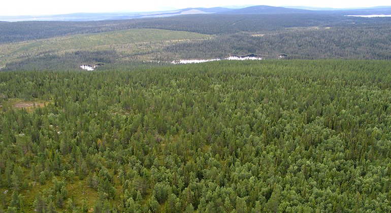
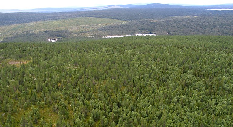
Lehatt is a small post-fire deciduous forest – a burnt area from 1901, where there are a great many birch trees. There are many traces of forest fires in det 1.5 square kilometre area.
Aktivitäten und Einrichtungen
-
Naturschutzgebiet
Fakten
Municipality: Arvidsjaur
Year formed: 1997, rev 2013
Size: 1.5 square kilometers
Administrator: County Administrative Board
Form of protection: Nature reserve, Natura 2000
Kommunikation
Lehatt lies about 33 kilometres east of Arjeplog. There are no roads which lead all the way to the reserve, but the logging road ends about 500 metres from the northwestern boundary. The most suitable way to the logging road is to turn off the road which runs between Sväggejaur and Abraure.
Anleitung
Lehatt is located about 33 kilometers east of Arjeplog and there is no road leading all the way to the reserve, but the forest road ends about 500 meters from the northwestern border. The most suitable access route to the forest road is to turn off the road that runs between Sväggejaur and Abraure. Sväggejaur is located about 7.5 kilometers east of Arjeplog.
Verordnungen
All regulations can be found in the reserve decision. It is allowed to:
- camping
- hike
- build a small fire
- picking berries and edible mushrooms
- drive snowmobiles on well-snowed ground
- fishing and hunting in accordance with applicable laws
Among other things, it is not allowed to damage plant and animal life or to litter. Remember the right of public access and protect nature!
Kontakt
E-Mail-Adresse
Länsstyrelsen Norrbotten
Logotyp der Organisation

Bitte beachten Sie, dass einige dieser Texte automatisch übersetzt worden sind.
Fragen & Antworten
Stellen Sie eine Frage an andere Naturkartan-Nutzer.


