Kitinvaara
Naturschutzgebiet
- Landkreis: Norrbottens län
- 7635.22 km von Ihnen entfernt
Aktionen
Beschreibung
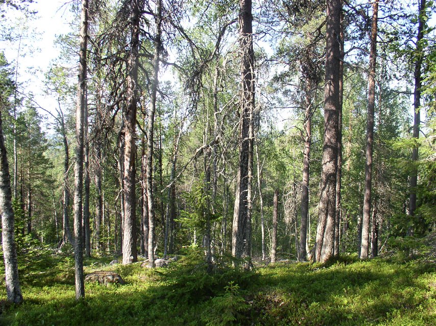
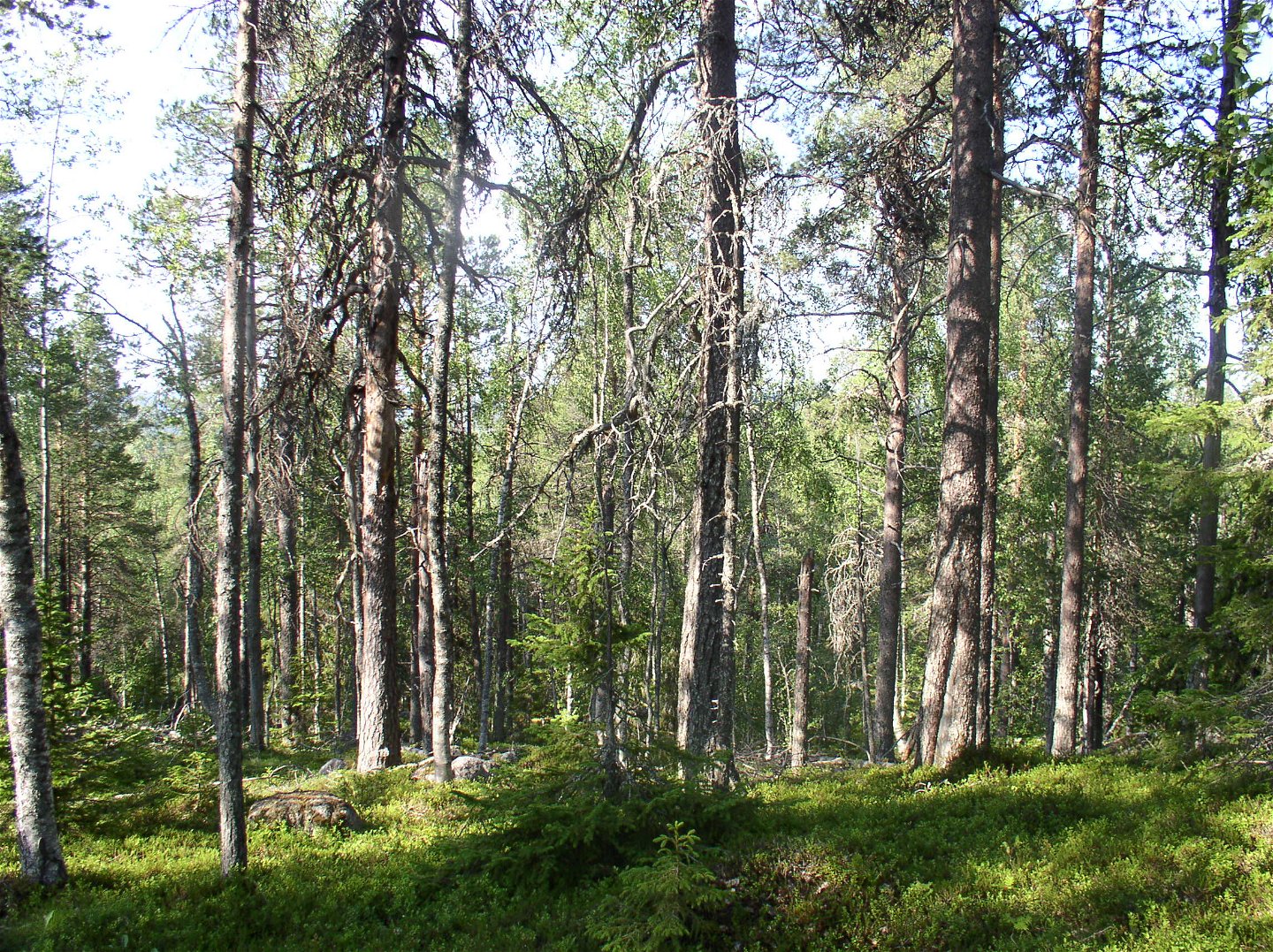
The reserve consists mainly of Vuolikkalanvinsa mountain, but there are other mountain slopes. Old growth coniferous forest grows here, also containing a lot of deciduous trees. As in all undisturbed forests traces of previous forest fires can be seen, and there are a lot of dead trees in the forest. The highest summit in the reserve is about 300 metres a.s.l. The area is 3.4 square kilometres in size.
Aktivitäten und Einrichtungen
-
Naturschutzgebiet
Fakten
Municipality : Övertorneå
Year of formation : 2011
Size: 3.4 square kilometers
Administrator: County Administrative Board
Form of protection: Nature reserve
Kommunikation
The reserve lies about 12 kilometres west of Juoksengi. A logging road leads as far as the area.
Anleitung
The reserve is located about 12 kilometers west of Juoksengi.
Verordnungen
Alla föreskrifter finns i reservatsbeslutet. Det är tillåtet att:
• tälta • vandra • köra snöskoter på väl snötäckt mark • göra upp en mindre eld • plocka bär och matsvamp • fiska och jaga i enlighet med gällande lagar
Det är inte tillåtet att skräpa ner eller skada växt- och djurliv. Tänk på allemansrätten och var rädd om naturen!
Kontakt
E-Mail-Adresse
Länsstyrelsen Norrbotten
Logotyp der Organisation

Bitte beachten Sie, dass einige dieser Texte automatisch übersetzt worden sind.
Fragen & Antworten
Stellen Sie eine Frage an andere Naturkartan-Nutzer.


