Kallovaratjeh
Naturschutzgebiet
- Landkreis: Norrbottens län
- 7573.91 km von Ihnen entfernt
Aktionen
Beschreibung
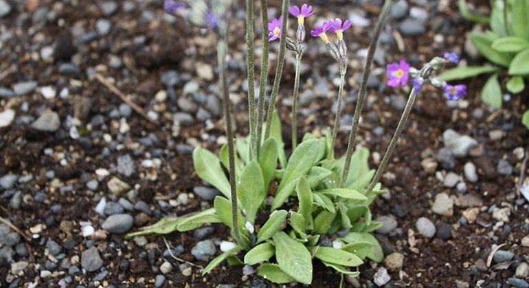
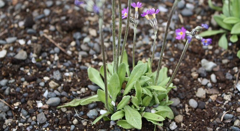
Kallovaratjeh is an area rich in lakes, south of lakes Råvejaure and Hadditjaure. The landscape is somewhat hilly and dominated by mountain moors. Lime rich bedrock allows among other species Scandinavian Primula to thrive. There were formerly no fish in the lakes in the area, but now fish have been put out in nearly all the lakes and this has affected biodiversity. The area is 22.4 square kilometres in size.
Aktivitäten und Einrichtungen
-
Naturschutzgebiet
Fakten
Municipality: Jokkmokk
Year of formation: 1970
Size: 22.4 square kilometers
Administrator: County Administrative Board
Form of protection: Nature reserve, Natura 2000
Kommunikation
Kallovaratjeh lies in roadless country, south of Padjelanta/Badjelánnda National Park, about 50 kilometres northwest of Kvikkjokk.
Anleitung
Kallovaratjeh is located south of Padjelanta National Park and east of the Sulitelma massif about 50 kilometers northwest of Kvikkjokk.
Verordnungen
All regulations can be found in the reserve decision. It is allowed to:
- camping
- hiking
- make a fire
- picking berries and edible mushrooms
- drive snowmobiles on well-snow-covered ground
- fishing and hunting in accordance with applicable laws
It is not allowed to harm plant and animal life. Remember the right of public access and protect nature!
Kontakt
E-Mail-Adresse
Länsstyrelsen Norrbotten
Logotyp der Organisation

Bitte beachten Sie, dass einige dieser Texte automatisch übersetzt worden sind.
Fragen & Antworten
Stellen Sie eine Frage an andere Naturkartan-Nutzer.


