Iso-Kuusivaara
Naturschutzgebiet
- Landkreis: Norrbottens län
- 7604.0 km von Ihnen entfernt
Aktionen
Beschreibung
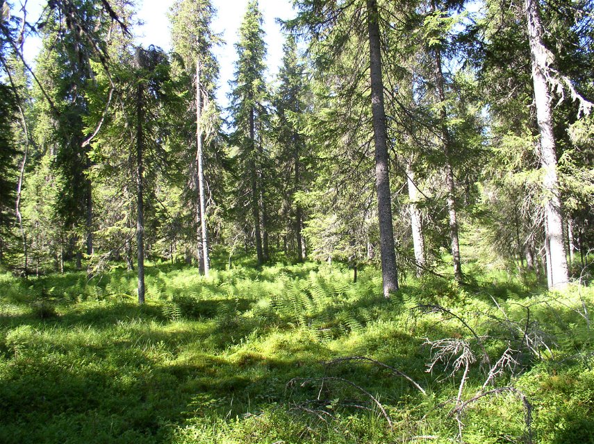
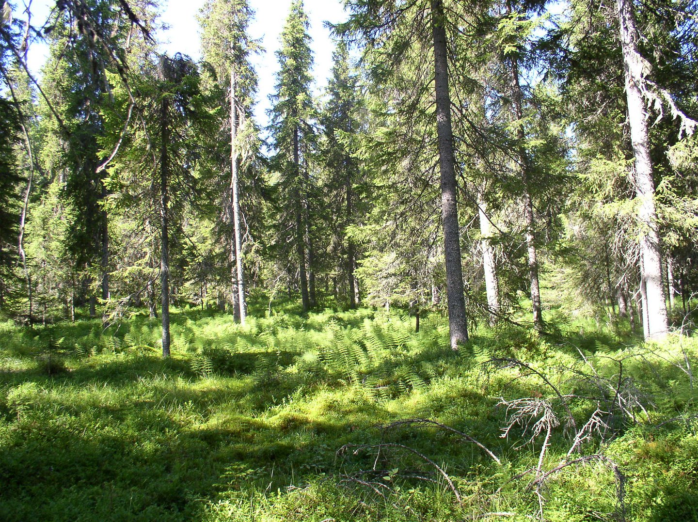
Iso-Kuusivaara comprises four mountains extending from north to south. It is mostly pine forest here, and everywhere there are dead, fallen trees, tall stumps and ancient pines. The reserve also harbours a waterlogged spruce forest with luxuriant vegetation. The whole area is 4.4 square kilometres in size.
Aktivitäten und Einrichtungen
-
Naturschutzgebiet
Fakten
Kommun: Övertorneå
Bildat år: 1997, 2010
Storlek: 4,4 kvadratkilometer
Förvaltare: Länsstyrelsen
Skyddsform: Naturreservat, Natura 2000
Övrigt: Det finns en jaktstuga i området.
Kommunikation
The nature reserve lies about 15 kilometres west of Övertorneå. Drive westwards on road 391 from Övertorneå. Just before Lake Hirvijärvi, turn off southwards on a road which crosses the reserve.
Anleitung
Naturreservatet ligger cirka 15 kilometer väster om Övertorneå. Kör väg 391 som går västerut från Övertorneå och strax före sjön Hirvijärvi finns en avtagsväg söderut som korsar reservatet.
Verordnungen
All regulations can be found in the reserve decision. It is allowed to:
- hiking - camping - making fires - picking berries and edible mushrooms - driving snowmobiles on snow-covered ground - fishing and hunting in accordance with the laws in force
It is not allowed to damage plant and animal life. Remember the right of public access and protect nature!
Kontakt
E-Mail-Adresse
Länsstyrelsen Norrbotten
Logotyp der Organisation

Bitte beachten Sie, dass einige dieser Texte automatisch übersetzt worden sind.
Fragen & Antworten
Stellen Sie eine Frage an andere Naturkartan-Nutzer.


