
Bästa vandringslederna i Varberg

Varberg

Naturkartan samlar de vandringslederna i Varberg som är populärast bland våra användare.

Billeder

Kort

46 Bästa vandringslederna i Varberg

Vandring

Skogsbostigen

  • Kommune: Varberg
  • 6680.21 km fra dig
  • 5.4 km

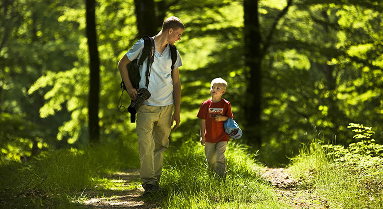
**With its 255 hectares, Skogsbo is the largest nature reserve within Åkulla beech forests. The backbone of the reserve consists of six rock outcrops. Five of these are passed on the trail, which has a total climb of 250 m. The slopes require some effort, b…
Vandring

Älvasjöstigen

  • Kommune: Varberg
  • 6681.47 km fra dig
  • 5.7 km

**Holma ö is a headland on the eastern shore of Lake Bya. There are remains of a medieval castle surrounded by a wide rampart. The site was probably important in the inner water system of older Halland. The craftsman's croft Långanskogen The unusual thing a…

Vandring

Bexellstigen

  • Kommune: Varberg
  • 6677.52 km fra dig
  • 6.0 km

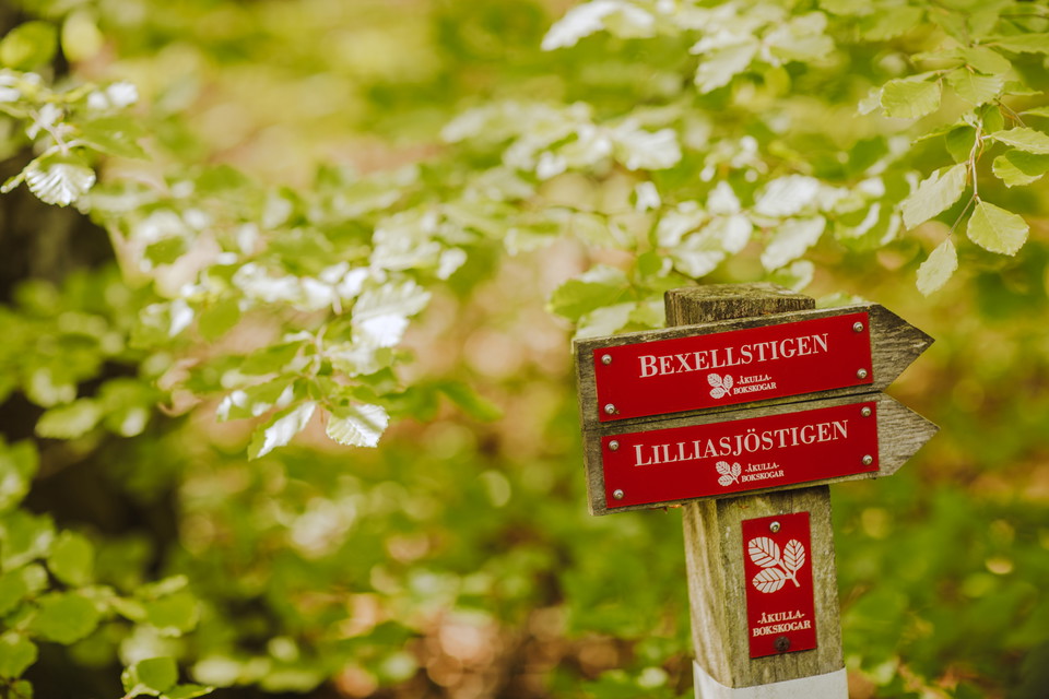
Bexell's "speaking" stones Lapides loquentes semper habemus (stones that speak we always have) This is a unique cultural monument in Åkulla Bokskogar. At the end of the 19th century, Alfred Bexell (1831-1900), the original member of parliament and landowner…

Vandring

Näsetstigen

  • Kommune: Varberg
  • 6675.16 km fra dig
  • 5.5 km

**Näsnabben Nature Reserve offers old, tall beech forests, fine views over Skärsjön and a lot of cultural history. Some of the beech stands are over 200 years old and contain an abundance of rare species of lichens and insects. Birdlife is also rich, with w…

Vandring

Bergastigen

  • Kommune: Varberg
  • 6677.84 km fra dig
  • 4.3 km

The Bergastigen path is named after the croft Berget that you pass. The last crofter lived here in the 1920s with eight children, a cow and a pig. The croft was bought out according to the Hermitage Act. That is why it is still there. The owners of Öströö p…

Vandring

Slottsstigen

  • Kommune: Varberg
  • 6677.50 km fra dig
  • 3.2 km

Öströö Öströö dates back to the Middle Ages and still has its original foundation walls. The castle was restored and renewed in Italian style by architect George von Dardel on behalf of Baron Carl Mauritz Bogislav Klingspor in 1916. It is still owned by the…

Vandring

Bockstensstigen

  • Kommune: Varberg
  • 6678.79 km fra dig
  • 3.9 km

Bockstens mosse The so-called Bockstensmannen, which is in the county museum in Varberg, was found at this site. The find is unique as the peat's humic acids preserved body, clothes and even brain and hair. The find was made at midsummer 1936 in connection…

Vandring

Åkulla - Ästad, Hallandsleden

  • Kommune: Varberg
  • 6677.84 km fra dig
  • 13.0 km
  • Sværhedsgrad: Rød

The stage goes through the area called Åkulla Bokskogar. There are 13 beautiful nature reserves here that contain fine beech forests, clear lakes and dramatic cliffs. The trail passes Bexell's talking stones, which consist of 160 stones and rock walls with…

Vandring

Gällarpesjön - Åkulla, Hallandsleden

  • Kommune: Varberg
  • 6673.03 km fra dig
  • 18.0 km
  • Sværhedsgrad: Rød

This stage of the Hallandsleden trail goes through a very varied nature in a forest environment and along beautiful lakes such as Lilla and Stora Neten, in parts in a rather dramatic terrain. The average level above sea level is about 75 meters, you pass ma…

Vandring

Hälsans stig - Varberg

  • Kommune: Varberg
  • 6663.00 km fra dig
  • 4.2 km

Vid Pingvinen och Gödestadsvägen finns lämpliga parkeringsplatser.

Vandring

Varberg - Åkulla, Hallandsleden

  • Kommune: Varberg
  • 6662.71 km fra dig
  • 21.0 km
  • Sværhedsgrad: Rød

Denna etapp är lättgången då Hallandsleden nästan hela vägen följer en gammal järnvägsbank. Sträckan ingår i den svenska delen av den europeiska vandringsleden E1 som börjar i Varbergs hamn och fortsätter 120 mil upp till Grövelsjön i norra Dalarna. Huvudde…

Vandring

Lillasjöstigen

  • Kommune: Varberg
  • 6678.52 km fra dig
  • 1.6 km

Skärbäck Skärbäcks nature reserve has a very scenic location between the three lakes Skärsjön, Humsjön and Grytsjön. The area is hilly with mountain heights and stream valleys. The forest is dominated by older beech forests, but there are also smaller alder…

Vandring

Dranstugan – Gällarpesjön, Hallandsleden

  • Kommune: Varberg
  • 6661.64 km fra dig
  • 22.0 km
  • Sværhedsgrad: Sort

The drama of the landscape formations applies to this stage where it passes over several prominent mountain areas with cultivated valleys in between. The upper reaches of the Skuttran and Himleån rivers are crossed by the trail. Towards the end or beginning…

Vandring

Bexellstigen

  • Kommune: Varberg
  • 6677.54 km fra dig
  • 5.9 km

Hiking trail starting from the parking lot in Skärbäck Nature Reserve. Partly rugged terrain. For easier access to Bexell's stones, you can instead hike from the parking lot north of the nature reserve Toppbjär (signage is available). The trail is managed b…

Vandring

Åkulla - Ullared, Hallandsleden

  • Kommune: Varberg
  • 6678.61 km fra dig
  • 11.0 km
  • Sværhedsgrad: Rød

The stage runs mostly through a hilly terrain with different types of forests. At Släryd you pass some more open land, but then the forest closes again and the trail goes down to the Högvadsån valley. Accommodation A short distance from the trail is the cam…

Bästa vandringslederna i Varberg

Naturkartan samlar de vandringslederna i Varberg som är populärast bland våra användare.

Naturkartan

Åbn dette i appen