

-

-
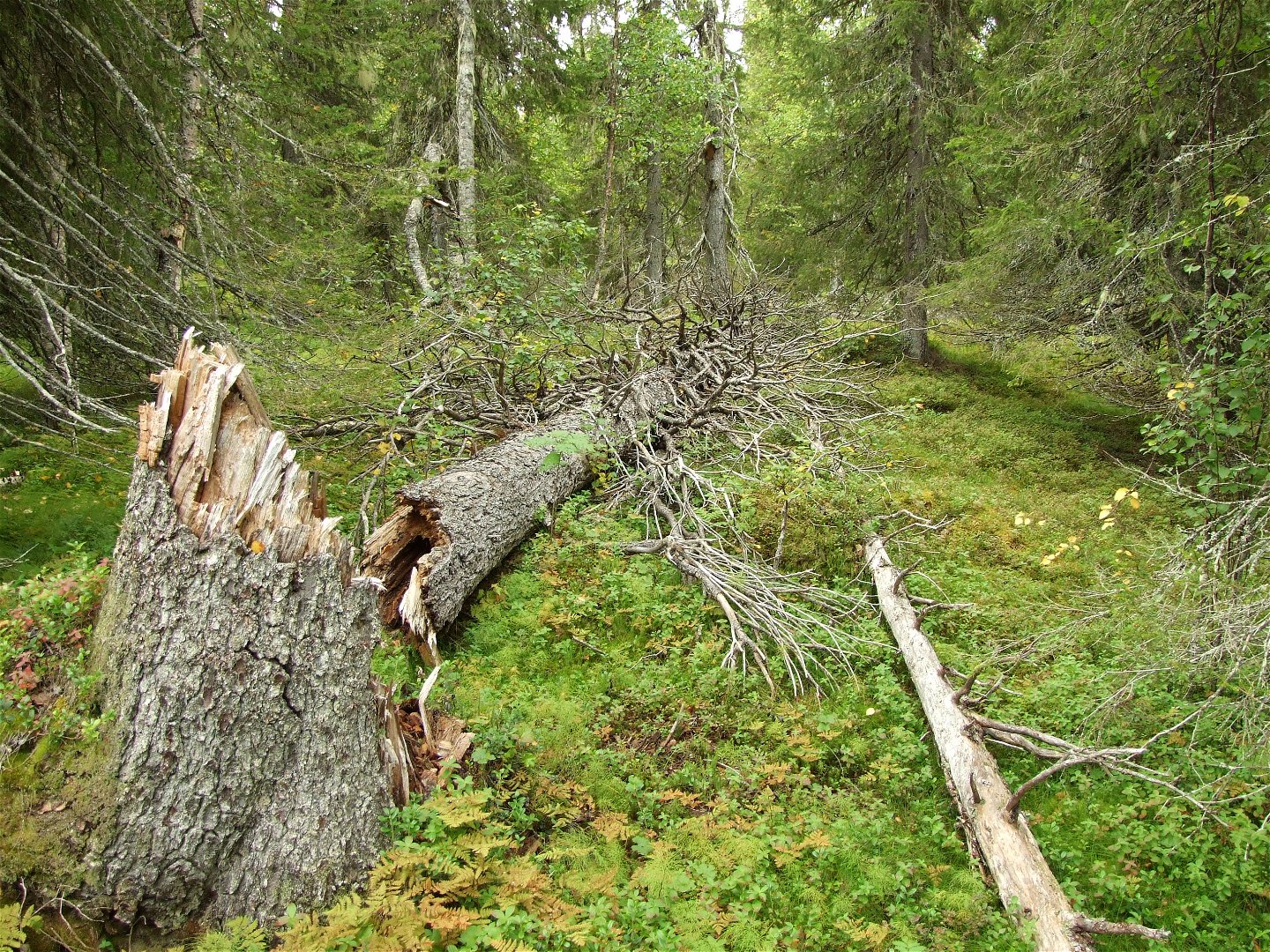
Gamla granar och grova, fallna trädstammar finns det gott om i Rissavaara.
Zdjęcie: Länsstyrelsen Norrbotten

Rissavaara
Rezerwat przyrody
- Województwo: Norrbottens län
- 7657.73 km od Ciebie
Akcje
Opis
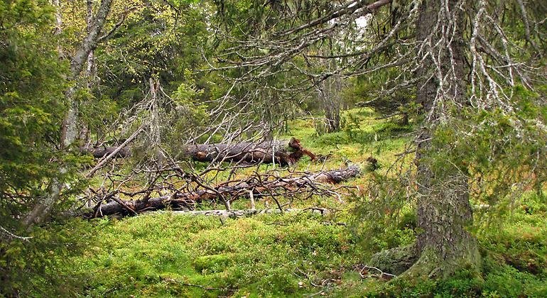
Rissavaara rises to 526 metres a.s.l. and is thereby the second highest mountain in Pajala Municipality, and an old-growth, pristine like spruce forest grows on top of the mountain. The area is 12.6 square kilometres in size.
Działania i udogodnienia
-
Rezerwat przyrody
Fakty
Municipality: Pajala
Year of formation: 2009
Extended year : 2020
Size: 12.6 square kilometers
Manager: County Administrative Board
Form of protection: Nature reserve
Komunikacja
Rissavaara lies about 25 kilometres west of Tärendö in the western part of Pajala Municipality. From road 394, about 9 kilometres east of Ullatti, there is a logging road which leads further northwards almost all the way to the reserve.
Wskazówki dojazdu
Rissavaara is located about 25 kilometers west of Tärendö in the western part of Pajala municipality. Take the road that goes north in the village of Kompelusvaara until you reach the reserve boundary. The condition of the forest road is currently unknown.
Regulamin
All regulations can be found in the reserve decision. It is allowed to:
- camping
- hiking
- pick berries and edible mushrooms
- make a fire, remember to bring your own firewood!
- drive snowmobiles on well-snow-covered ground
- fish and hunt in accordance with the laws in force
It is not allowed to harm plant and animal life. Remember the right of public access and protect nature!
Kontakt
Adres e-mail
Länsstyrelsen Norrbotten
Logotyp organizacji
![]()
Należy pamiętać, że niektóre z tych tekstów zostały przetłumaczone automatycznie.
Pytania i Odpowiedzi
Zadaj pytanie innym użytkownikom Naturkartan.
Recenzja
Może zainteresują Cię również
