

-

-
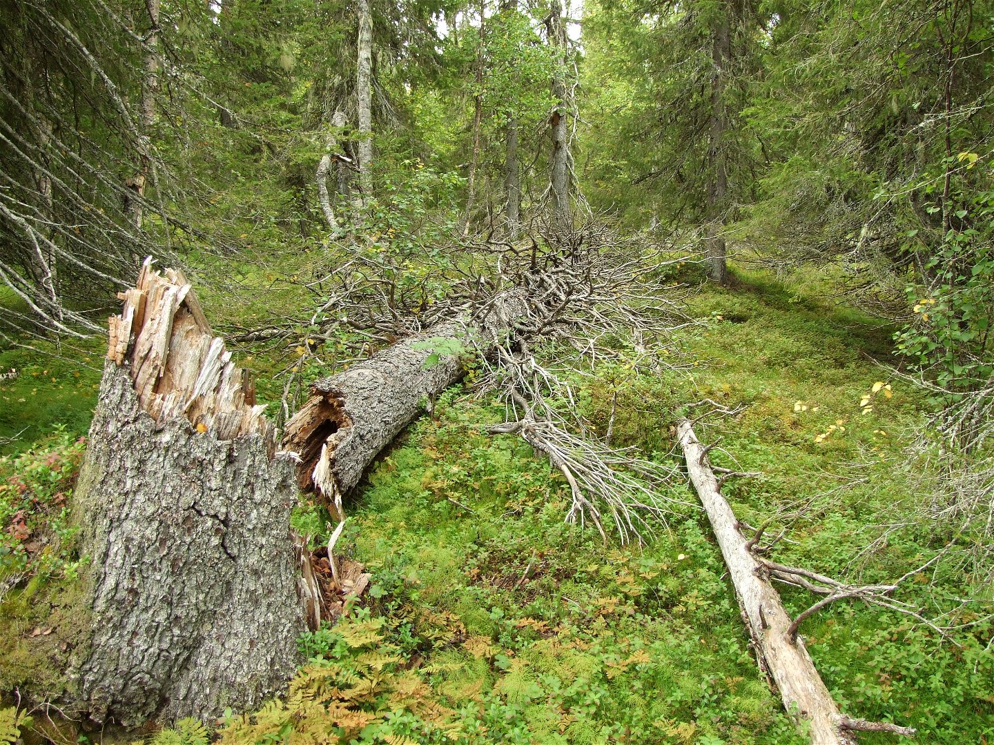
Gamla granar och grova, fallna trädstammar finns det gott om i Rissavaara.
Foto: Länsstyrelsen Norrbotten

Rissavaara
Naturreservat
- Fylke: Norrbottens län
- 7657.73 km fra deg
Handlinger
Beskrivelse
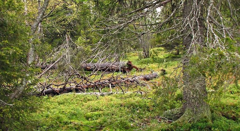
Rissavaara rises to 526 metres a.s.l. and is thereby the second highest mountain in Pajala Municipality, and an old-growth, pristine like spruce forest grows on top of the mountain. The area is 12.6 square kilometres in size.
Aktiviteter og fasiliteter
-
Naturreservat
Fakta
Municipality: Pajala
Year of formation: 2009
Extended year : 2020
Size: 12.6 square kilometers
Manager: County Administrative Board
Form of protection: Nature reserve
Kommunikasjon
Rissavaara lies about 25 kilometres west of Tärendö in the western part of Pajala Municipality. From road 394, about 9 kilometres east of Ullatti, there is a logging road which leads further northwards almost all the way to the reserve.
Veibeskrivelse
Rissavaara is located about 25 kilometers west of Tärendö in the western part of Pajala municipality. Take the road that goes north in the village of Kompelusvaara until you reach the reserve boundary. The condition of the forest road is currently unknown.
Forskrifter
All regulations can be found in the reserve decision. It is allowed to:
- camping
- hiking
- pick berries and edible mushrooms
- make a fire, remember to bring your own firewood!
- drive snowmobiles on well-snow-covered ground
- fish and hunt in accordance with the laws in force
It is not allowed to harm plant and animal life. Remember the right of public access and protect nature!
Kontakt
E-postadresse
Länsstyrelsen Norrbotten
Logotype for organisasjonen
![]()
Vær oppmerksom på at noen av disse tekstene er automatisk oversatt.
Spørsmål og svar
Still et spørsmål til andre brukere av Naturkartan.
Omtaler
Du kan også være interessert i
