Finnskogleden, Håvilsrud-Mitandersfors (etapp 2)
Hiking
- Regio: Värmlands län
- 6756.57 km van u vandaan
Pad details
- Lengte 17.7 km
Acties
Omschrijving
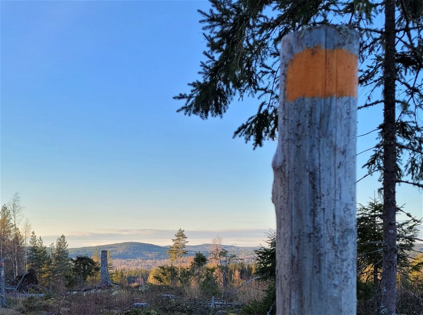
Finnskogleden is unique as it is winding back and forth across the border between Norway and Sweden, with its 240 km from Morokulien in Eda up to Söre Osen, Trysil in Norway. The trail has 13 stage of which 2 and 3 partly go through Arvika municipality.
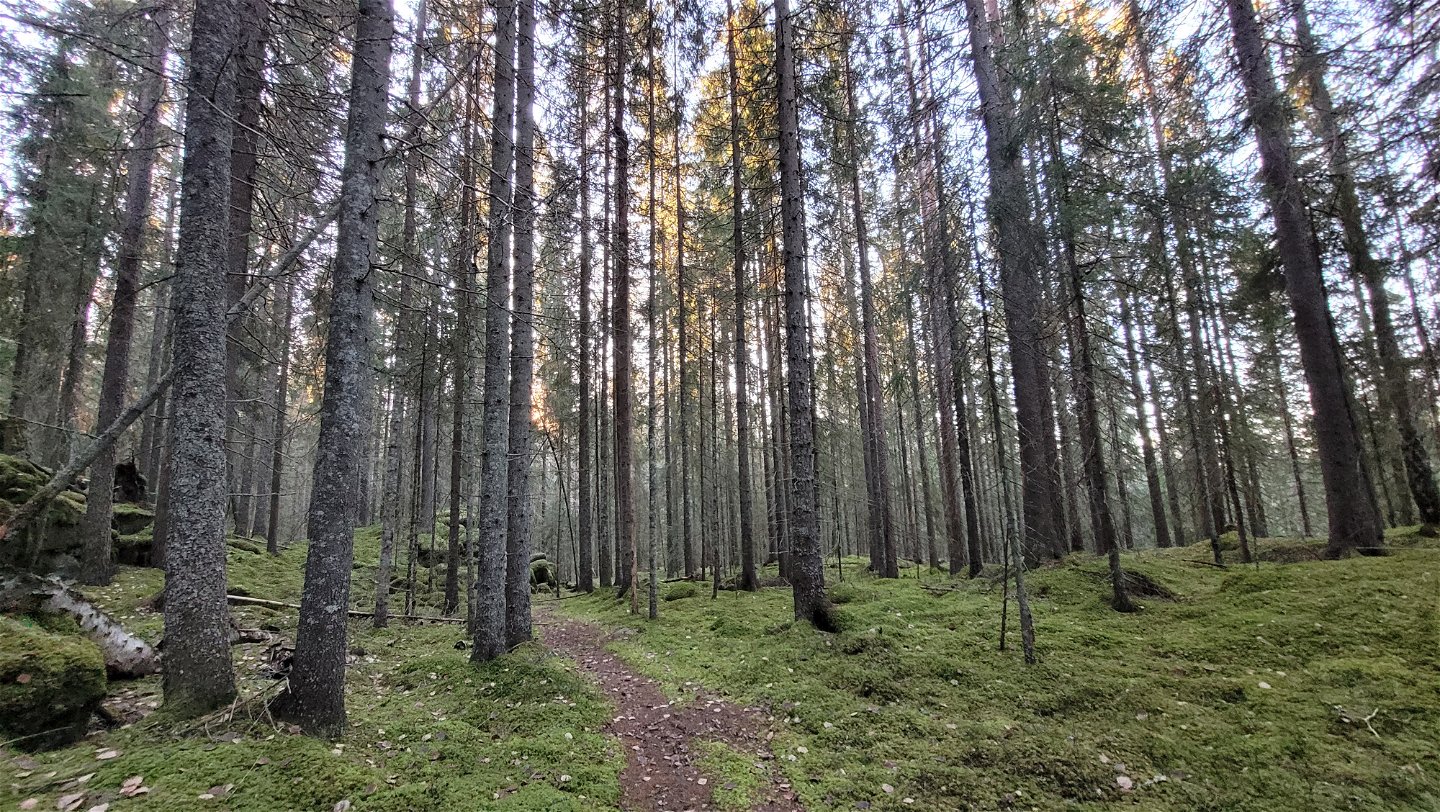
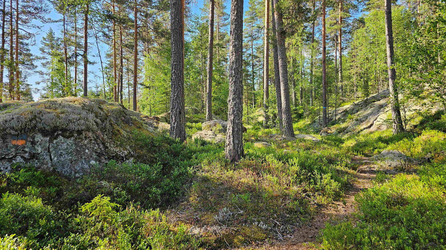
The trail maintenance has been picked up again after a few years interruption. Clearing and improving marks and signs is ongoing. Stage 2 in its' current state is a very nice hike where you find your way without problems, even if work remains to be done.
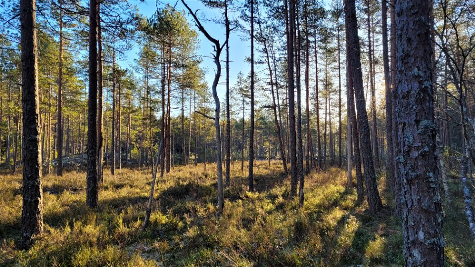
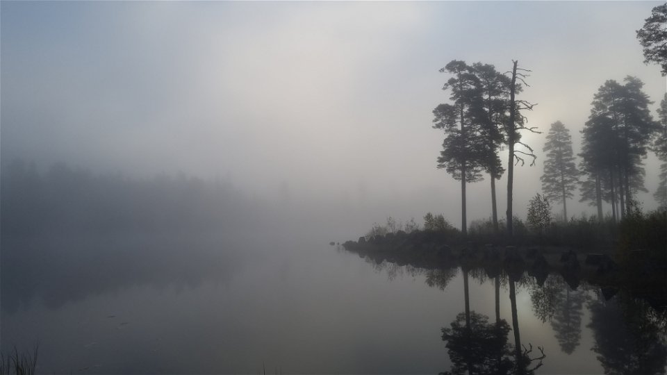
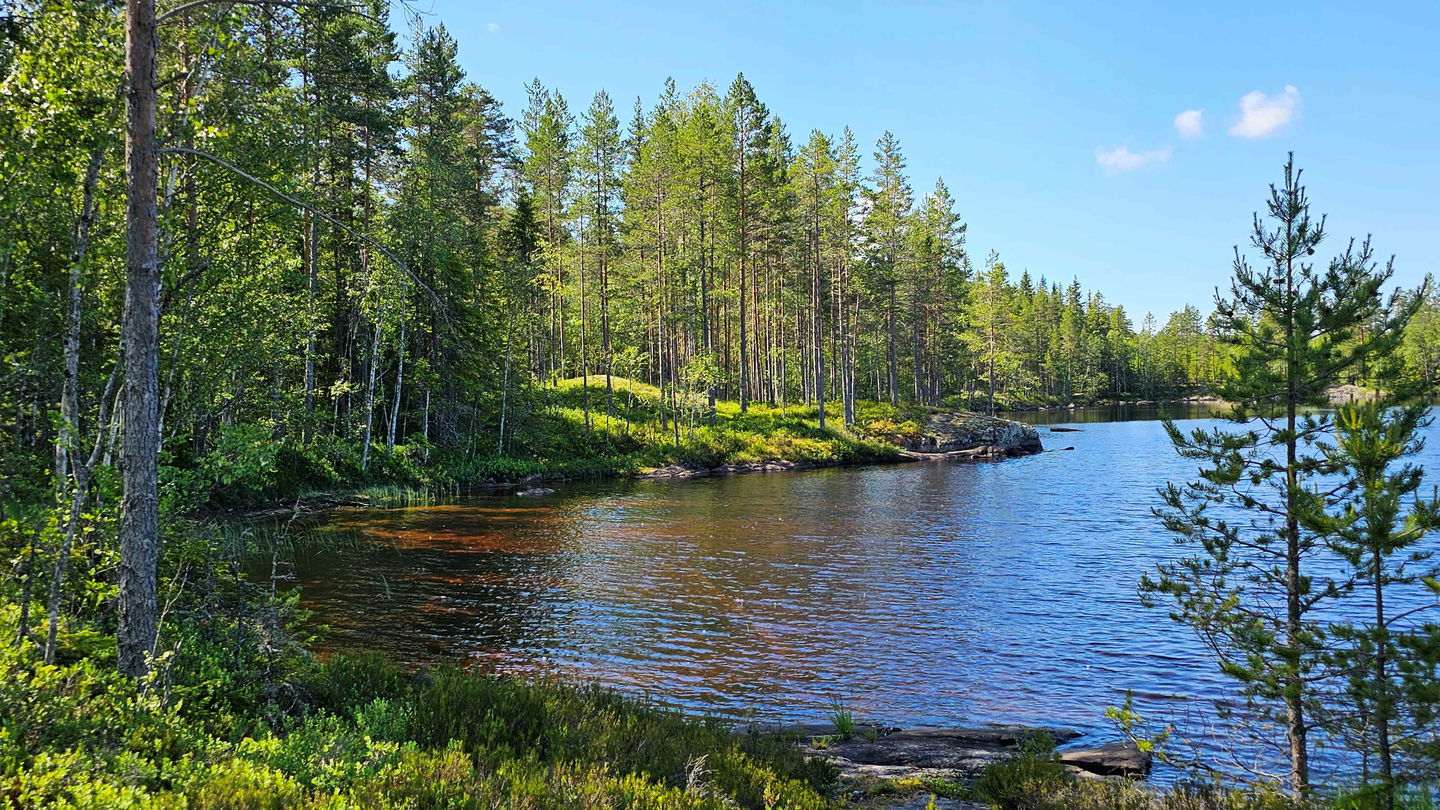
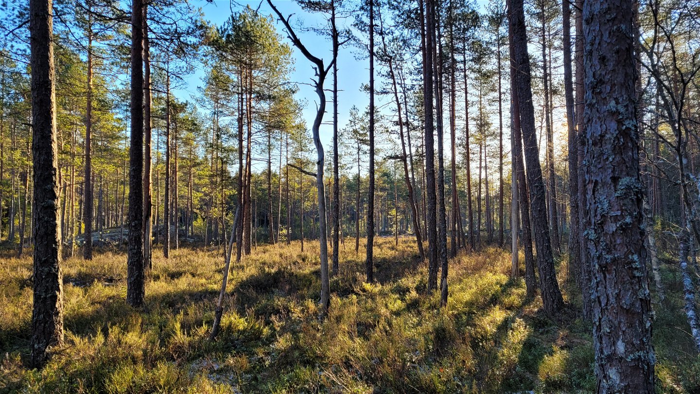
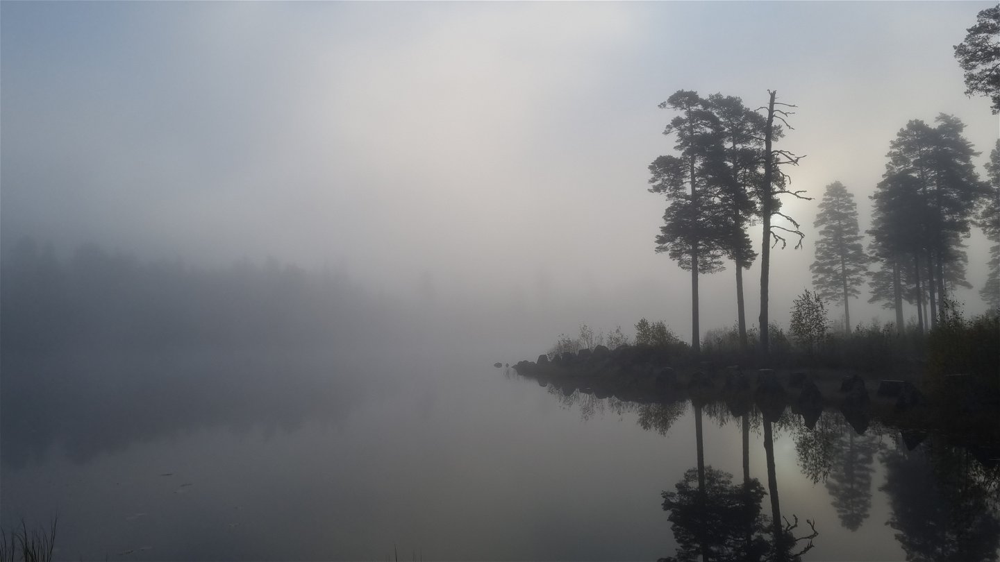
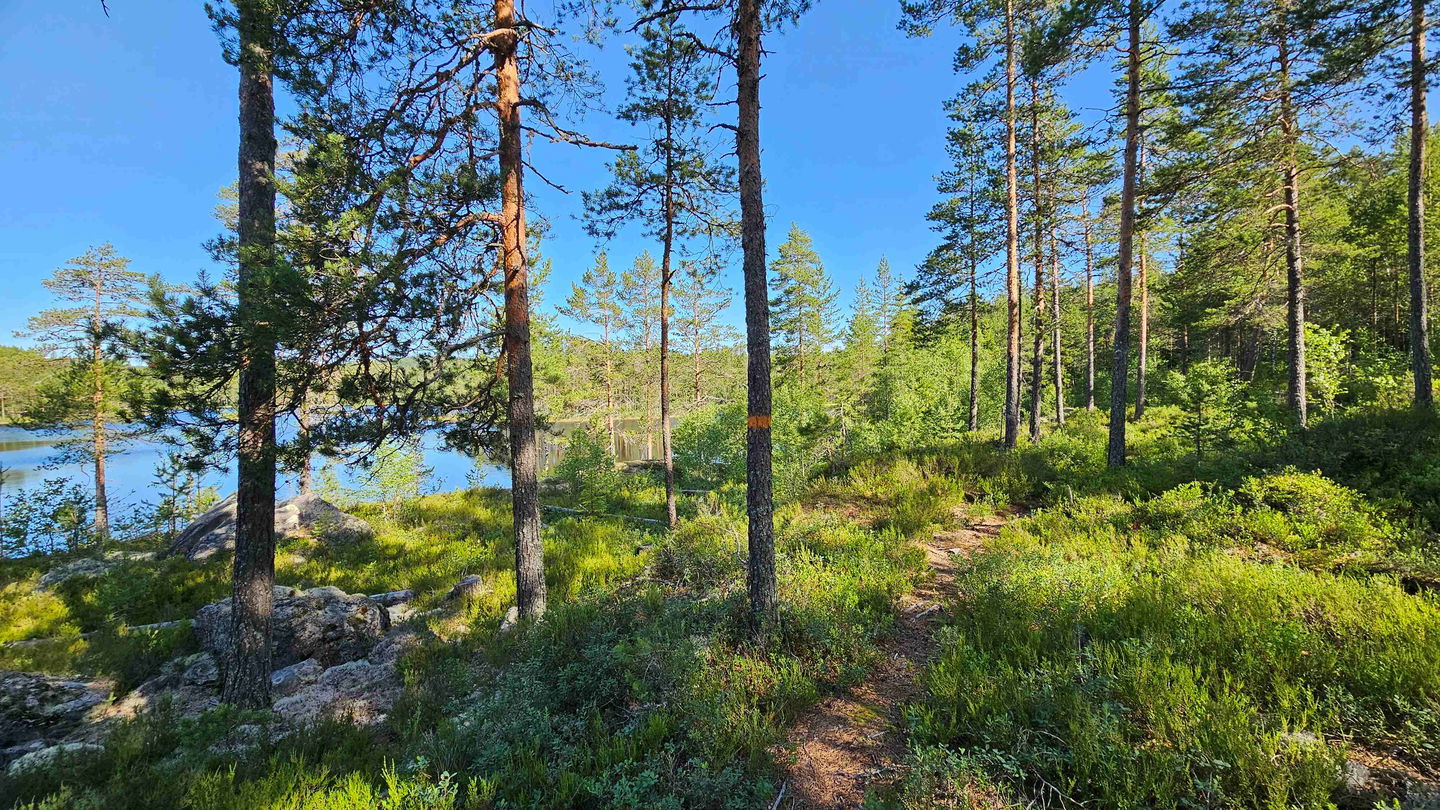
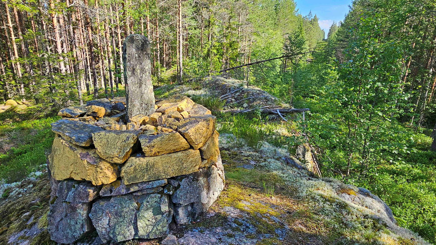
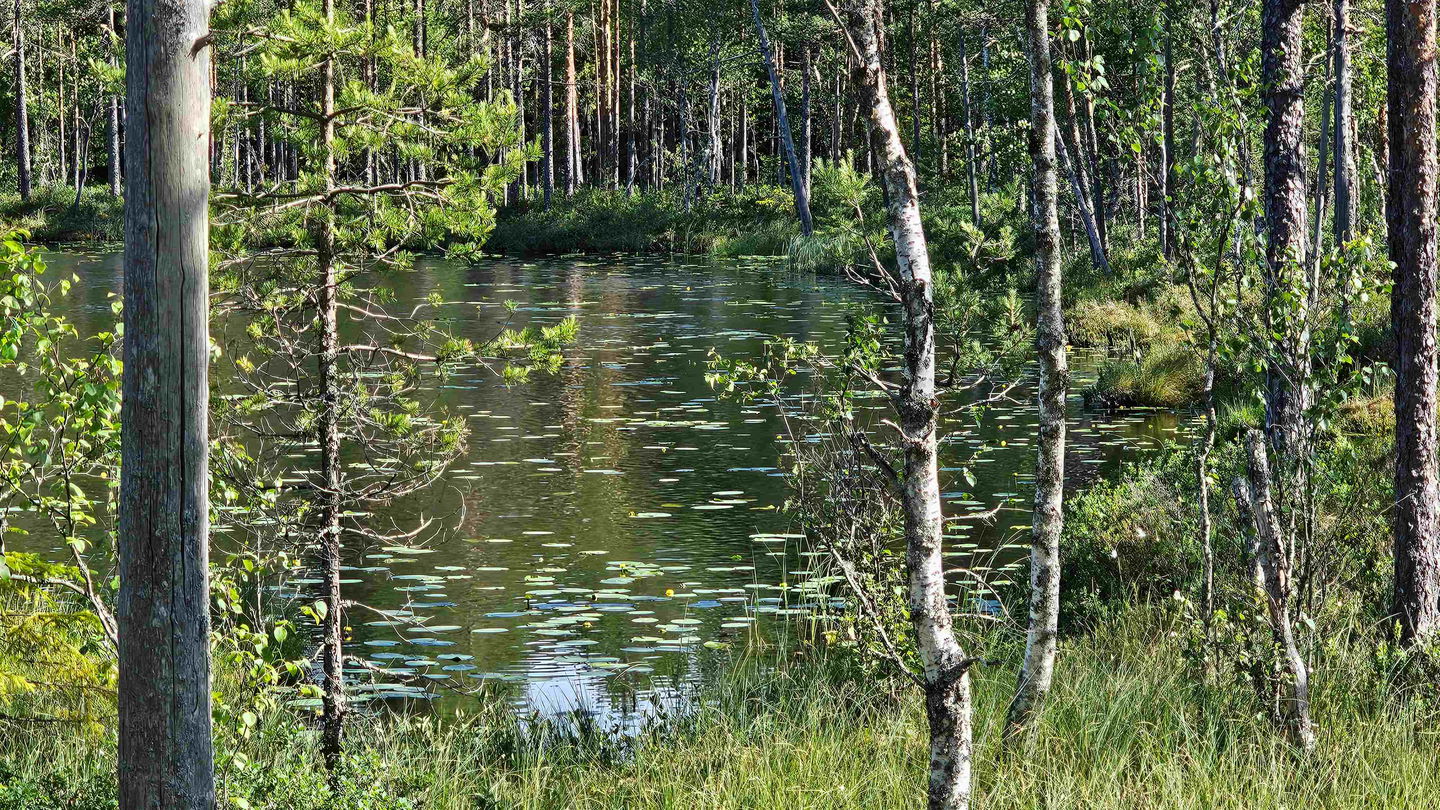
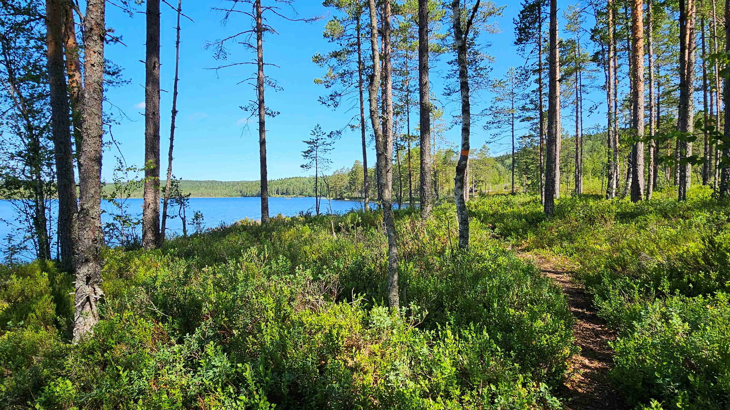
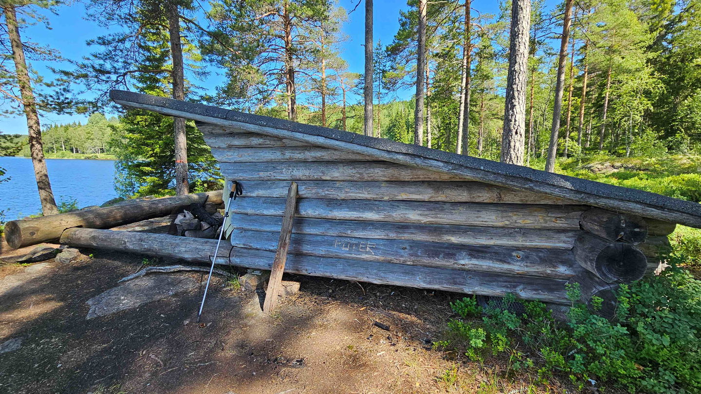
Parts of Stage 2 follows needle-covered paths through light pine terrain, especially from Vangen to the beautiful lake Skålsjön, where there is a wind shelter. In the area you see several quiet tarns and twice you cross the Swedish-Norwegian border and see the cleared border line. The boundary stone of Gränsröset 73A is just by the trail.
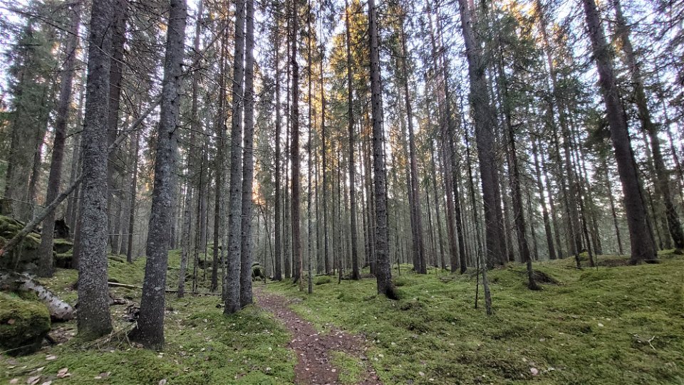
The nature is truly stunning and there is loads of history around this trail for those who wish to dig deeper, both from times of war and from Finnish culture. If you are planning to stay overnight, bring a tent in case the wind breaks is occupied. The terrain is hilly, so make sure to bring plenty of water. There is usually phone coverage through out this stage.
An overview map is available for download below. For now detailed maps are sold as a pamphlet provided from Finnskogens Natur & Kulturpark. It can be purchased at Visit Arvika.
A map is available for download in a separate PDF, see More information and Links. See also www.finnskogleden.com for more information. Here is a text on Stage 2 from that site:
On the second stage you walk the courier routes, used by several renowned war heroes from WWII.
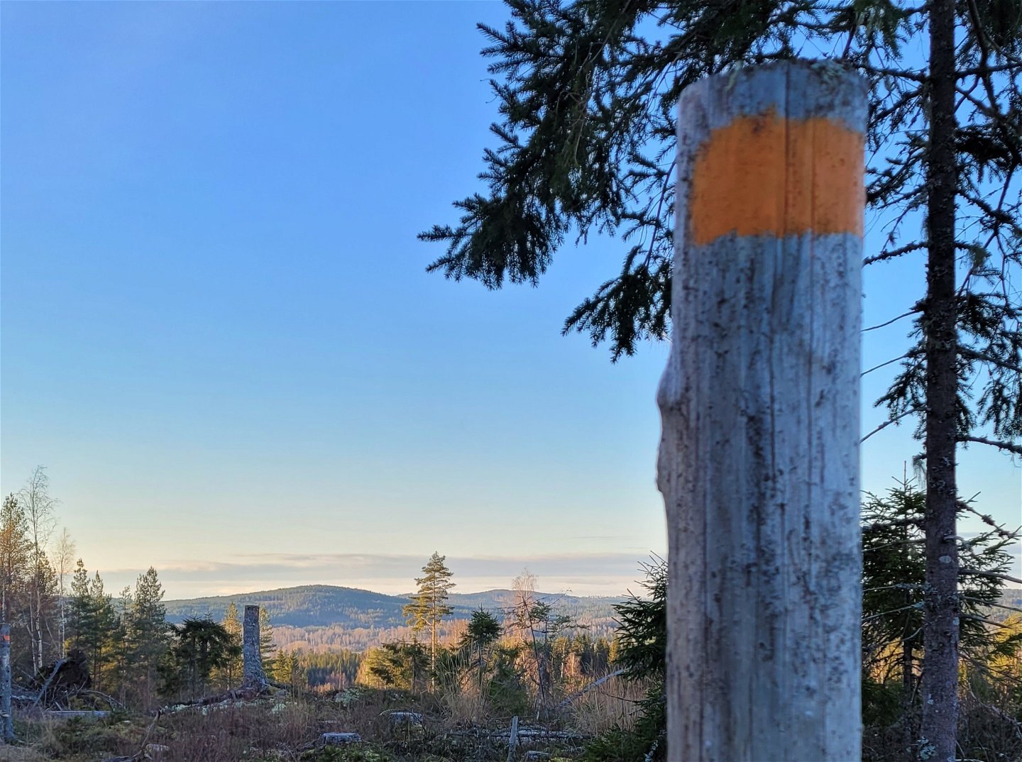
The day start out on two km gravel roads, before the path leads you through flat terrain to Vangen, which has been the residence for Norwegian farms across the border. During WWII several courier routes went through Vangen, used by Gunnar Sønsteby among other war heroes. The terrain is rather flat across pine forest and mire to Skålsjön, where the trail crosses the river over an old timber floating dam. There is a wind break by the beach. Behind it the trail climbs up the hill to Källerashöjden with a splendid view of Varaldsjön in the north. Throughout this area there has been Finnish settlements.
Mitanderfors grew as the ironworks was established here in 1841. Iron nails and iron bars were produced, but the production ceased in 1874. The Mitandersfors manor is currently a conference centre.
Fill up your water bottle before leaving, because along this stage it is hard to replenish.
You can spend the night in the wind break at Skålsjön, which has a dry toilet and a fire place. In case it is already taken, it can be a good idea to bring a tent.
The text has been translated by Visit Arvika.
Activiteiten en faciliteiten
-
Hiking
Downloads
Contact
Adres
Besöksadress:
Visit Arvika
Arvika Turistcenter
Storgatan 22
671 31 Arvika
www.visitarvika.se
E-mailadres
Visit Arvika
Organisatie-logotype

Houd er rekening mee dat sommige teksten automatisch zijn vertaald.
Vragen en antwoorden
Stel een vraag aan andere Naturkartan gebruikers.


