Finnvägen
Hiking
- Regio: Värmlands län
- 6754.16 km van u vandaan
Pad details
- Lengte 21.0 km
- Moeilijkheidsgraad Blauw - medium
Acties
Omschrijving
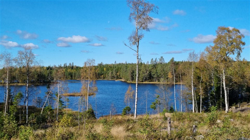
A quality proofed and certified HIKING VÄRMLAND trail of 21 km. The trail entry with a spacious parking area is located at the Treen camp ground and public beach of lake Stor-Treen in Fredros. From the camp ground there is an access stage of 1 km to the junction of Fredros. There are sign posts showing you to where the trail takes off from the gravel road opposite of Fredros Gård. The trail ends at Källerashöjden near Mitandersfors, where it connects to Finnskogleden.
There is another trail entry at the church of Bogen, which also has a spacious parking area. The trail starts behind the parish house and up the steep hill towards Prästgårdshöjden. At the hill top you find a bench table and the trail splits northwest and south. You can see all the rest areas on the map.
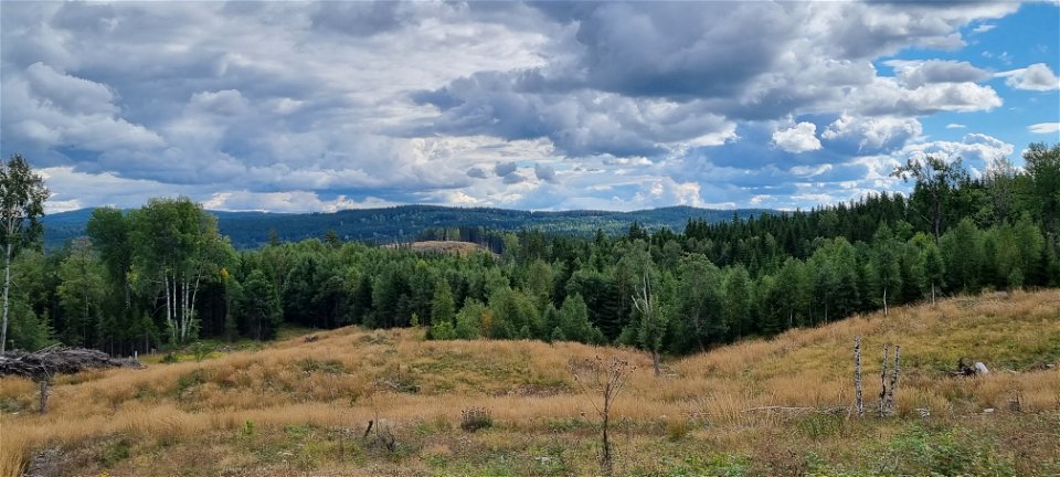
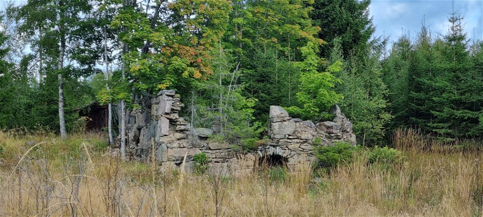
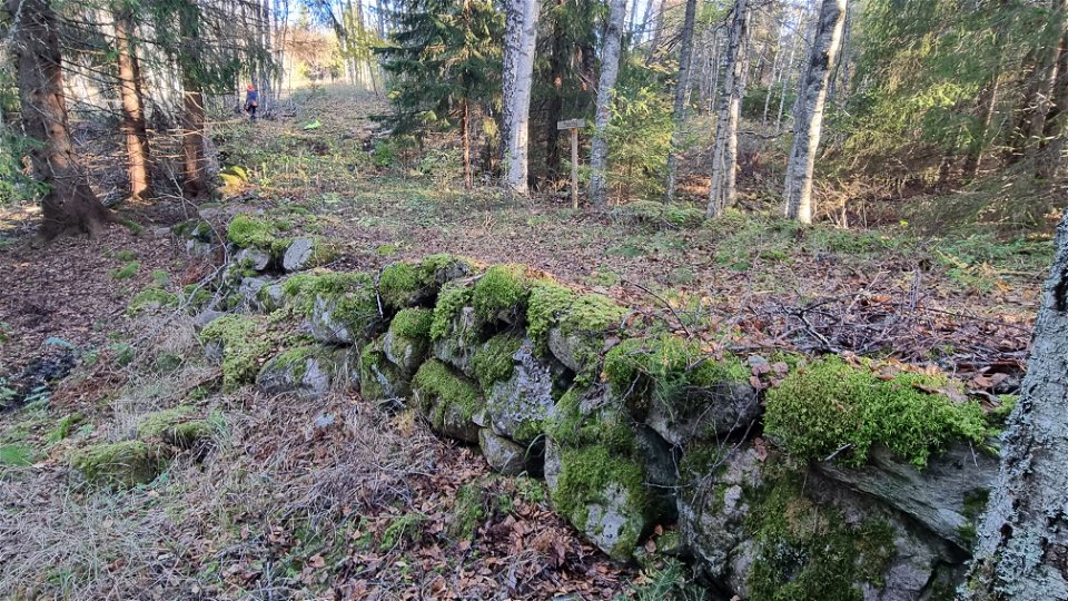
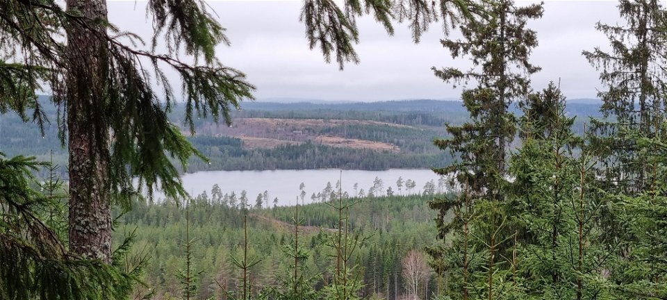
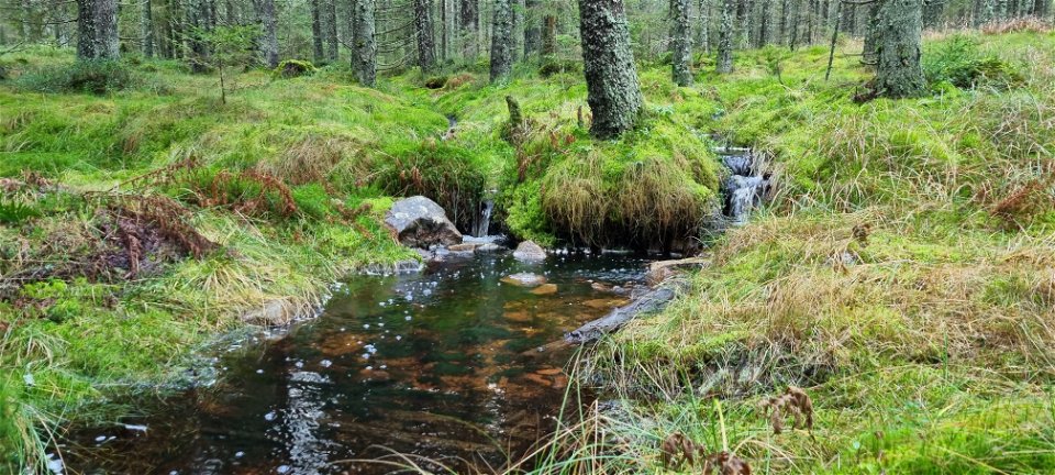
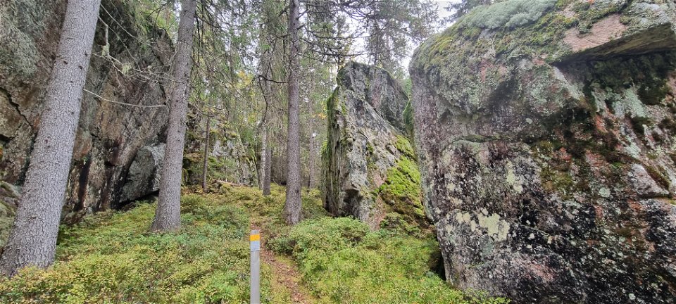
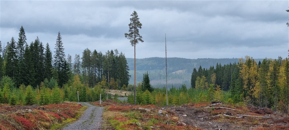
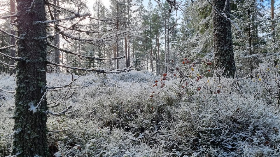
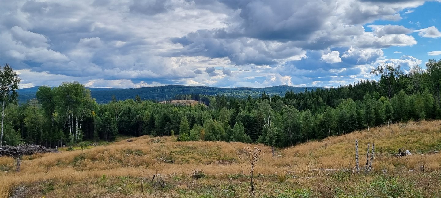
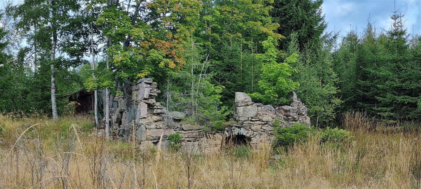
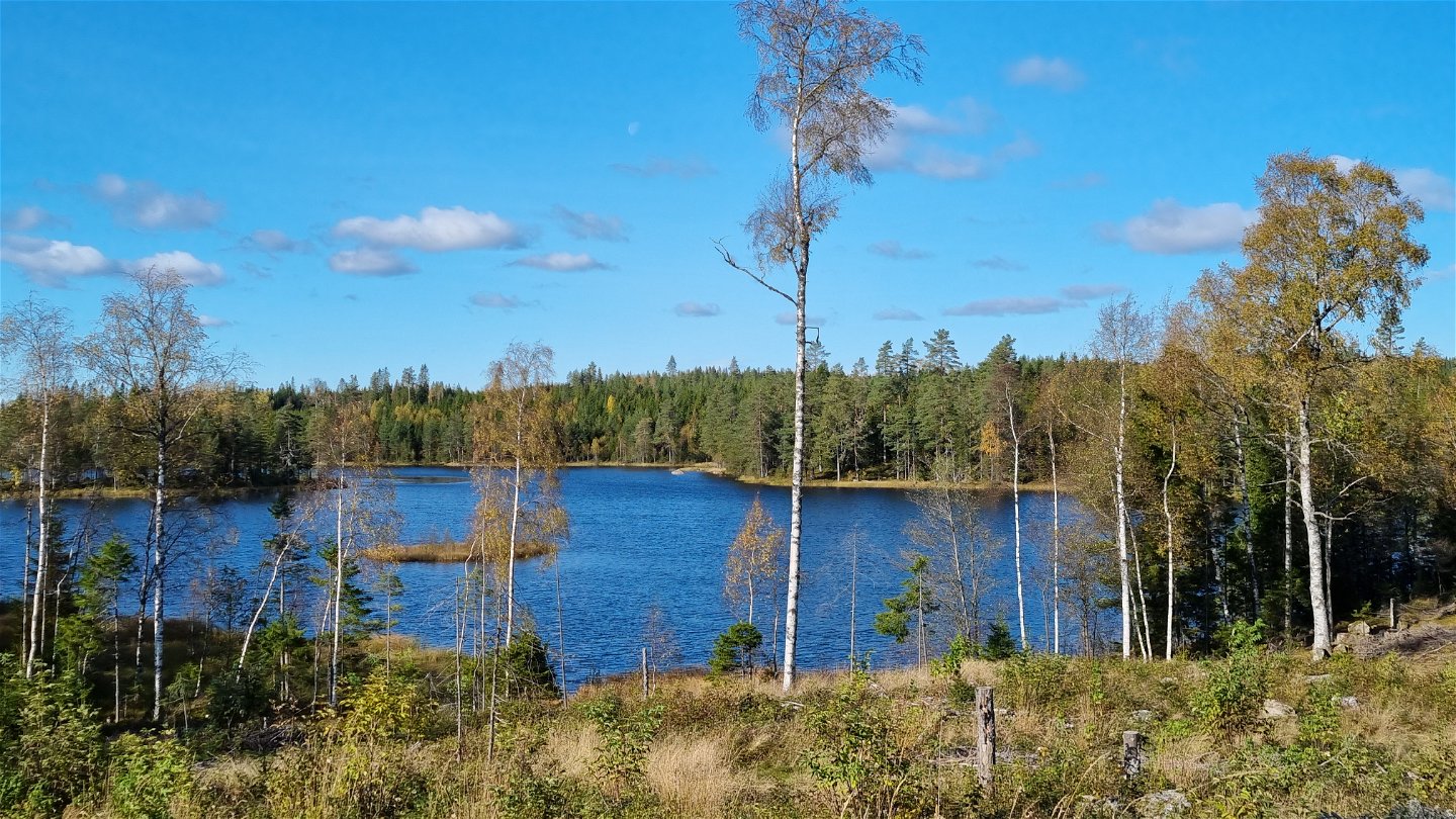
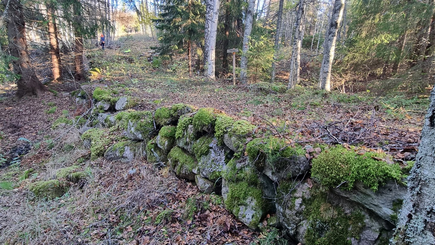
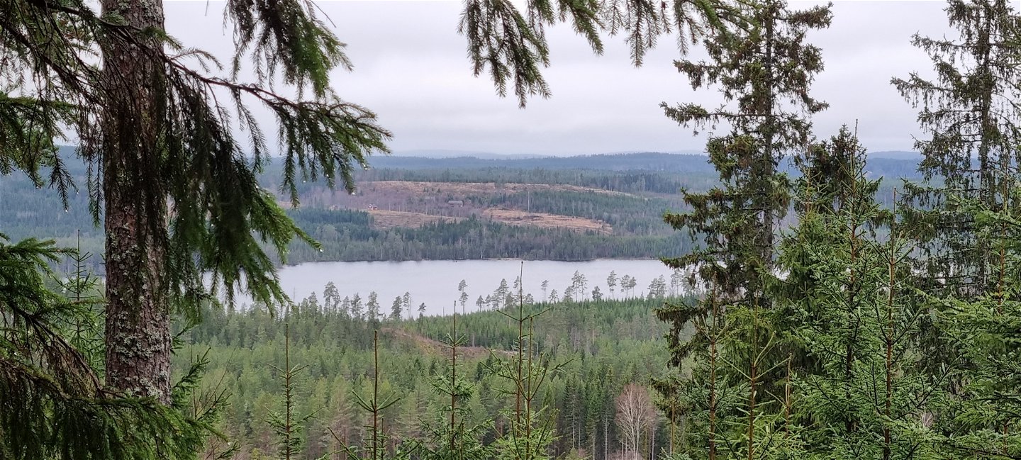
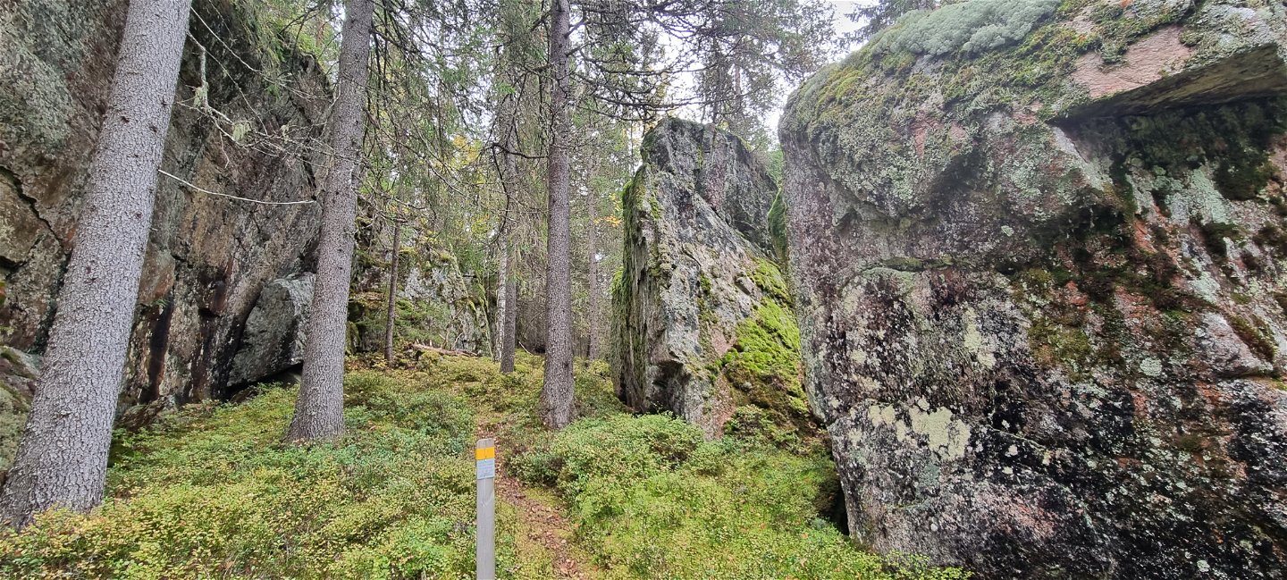
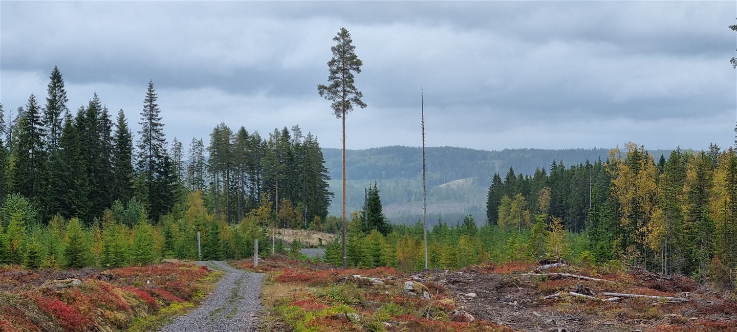
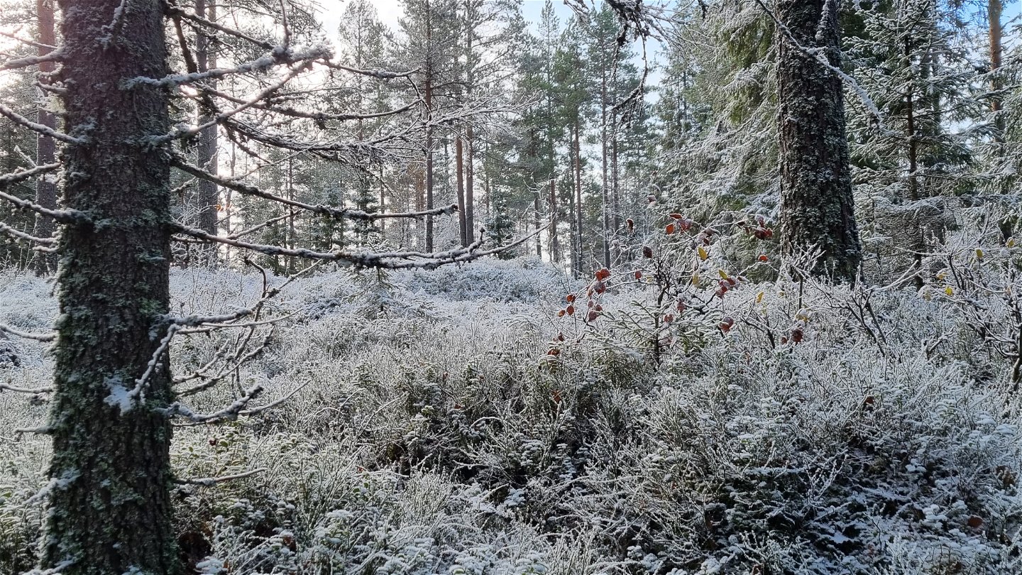
On the west side of Prästgårdshöjden you will pass the Rataho church. It is a gathering of erractic blocks, said to have been used as a church when there was no other in the parish. The southeastern block should have been used as a pulpit in ceremonies. An interpretation of the name Rataho implies it has something to do with willows. Source: Fornsök, an app by the Swedish National Heritage BoardFinnvägen is an excellent choice for stillness, nature and wilderness spirit through deep forests and hilly terrain. From a distance you can see the lake Västra Abborrsjön and glimpses of Lill-Eken further north. Now and then you find remains of old crofts. Finns were likely the first settlers in this area in the 16th century.
Up to the 1850s the trail was a walking and riding path between the neighbour hoods. It was made into a carriage road when John Mitander established the Mitandersfors works.
If you want to go parts of the trail, you can access it by car at Västra Abborrsjön, Axland and at the Bogen Church.
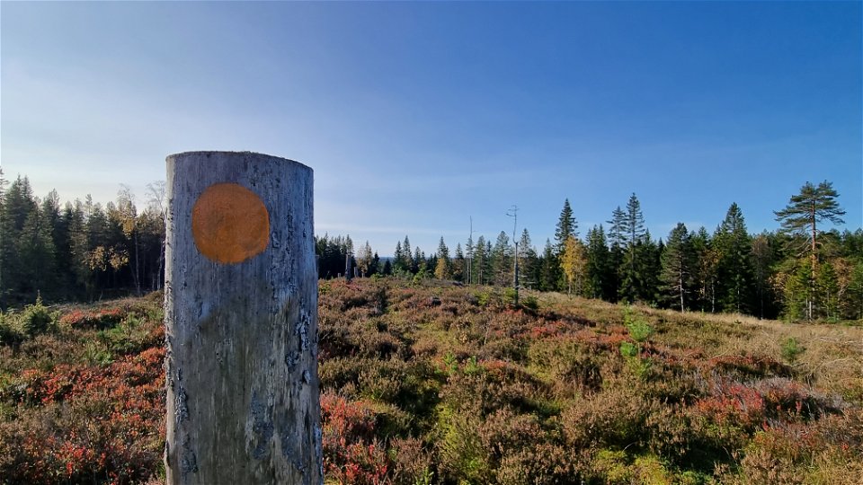
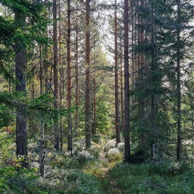
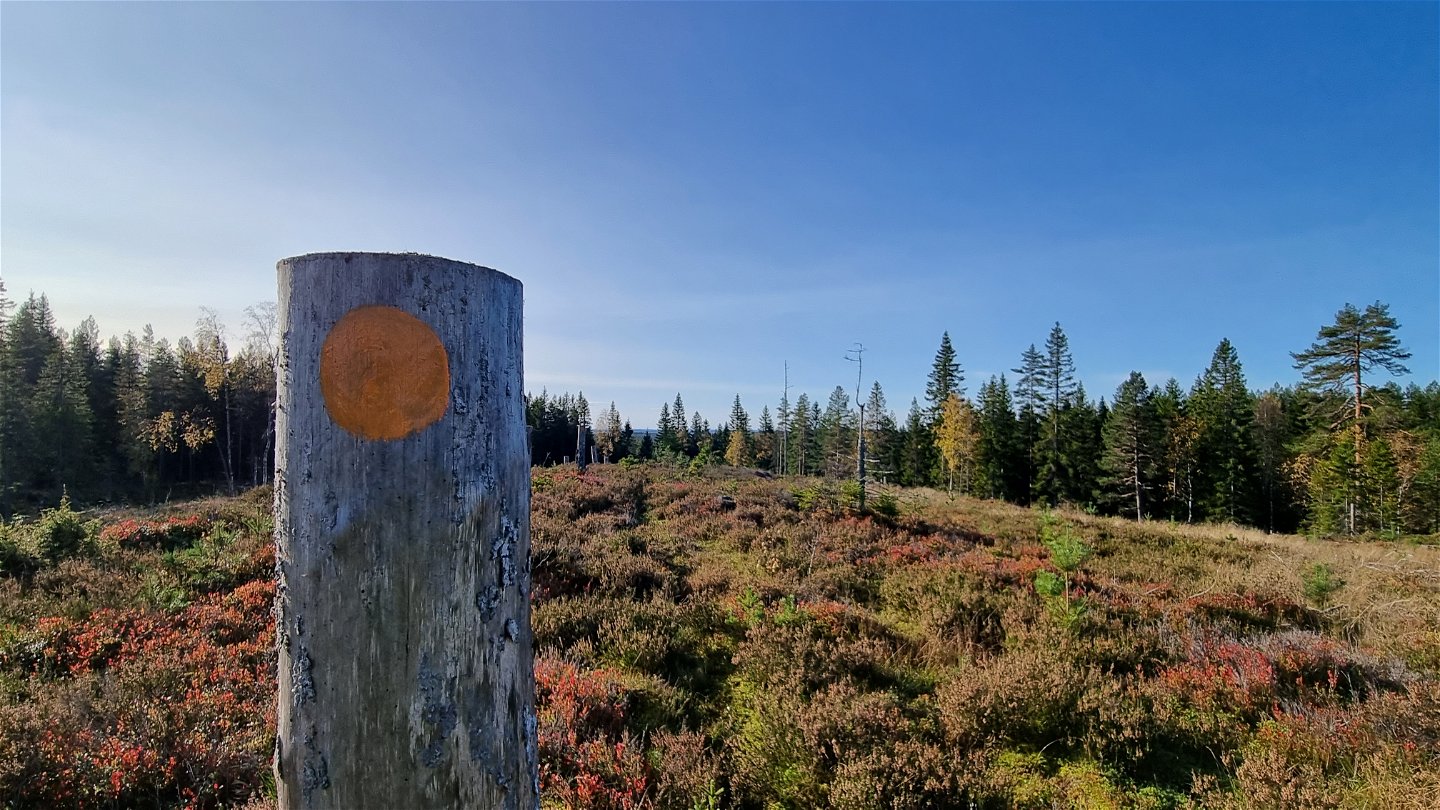
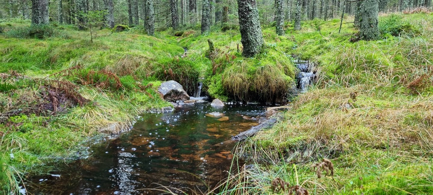
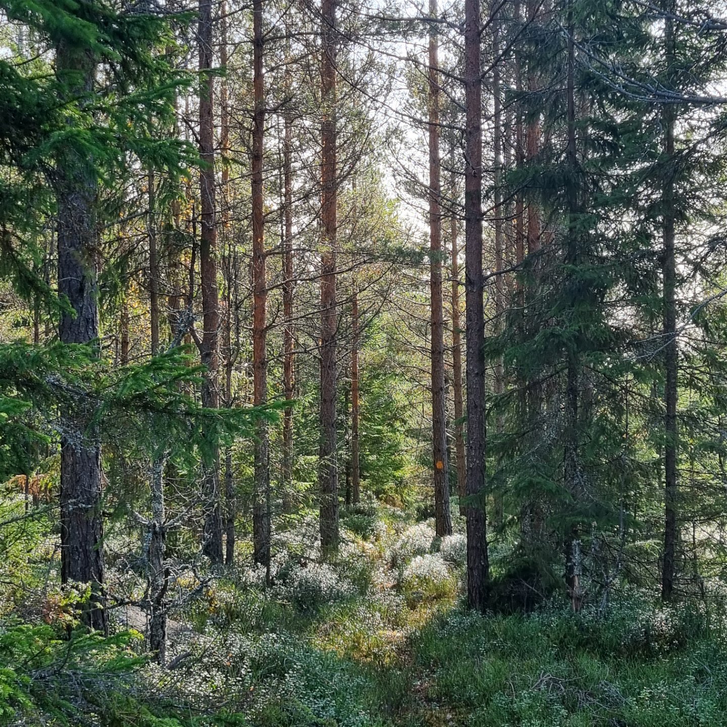
The trail is marked with orange and its' difficulty rated as moderate. The surface is mostly forest paths or carriage roads, but there are some duck boards and shorter stages of logging roads.
Service
-In summer there is drinking water for guests at Treen's camp ground.
-Dry toilets available at the public beach of Treen.
-Please bring your waste home, but if you can't there is a waste bin at the public beach of Treen.
-There is a bus stop at the junction of Fredros, the Old Store, see Värmlandstrafik - Värmlandstrafik for time tables.
Activiteiten en faciliteiten
-
Hiking
Oppervlakte
Mixed surface - mostly forest trails and bog roads, shorter sections on logging roads.
Contact
Adres
Besöksadress:
Visit Arvika
Arvika Turistcenter
Storgatan 22
671 31 Arvika
www.visitarvika.se
E-mailadres
Visit Arvika
Organisatie-logotype

Houd er rekening mee dat sommige teksten automatisch zijn vertaald.
Vragen en antwoorden
Stel een vraag aan andere Naturkartan gebruikers.

