Beste wandelroutes in %{regio}

Kalmar län och Öland

Naturkartan samlar de vandringslederna i Kalmar län och Öland som är populärast bland våra användare.

Fotos

Kaart

443 Beste wandelroutes in %{regio}

Rond pad

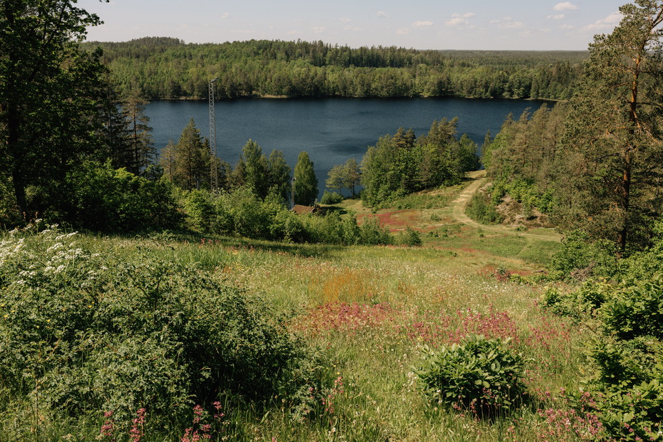
Aboda klint - Blå slinga

  • Gemeente: Högsby
  • 2.3 km
  • Moeilijkheidsgraad: Rood

The Blue Loop is a shorter hike in the Aboda Nature Reserve, perfect for those who want to experience the area’s forest environments and the proximity to Aboda Cliff on a moderate hike. The reserve is dominated by mixed coniferous forest with spruce and pin…
Hiking

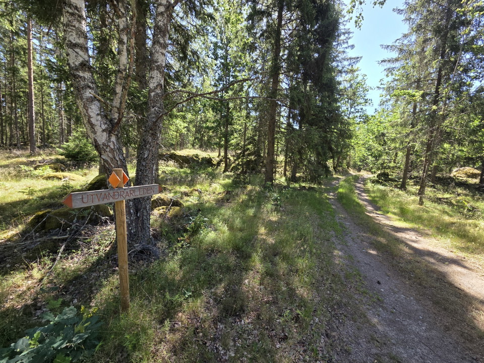
Utvandrarleden etapp UL3 Moshult - Långasjö - En del av Smålandsleden

  • Gemeente: Emmaboda
  • 17.8 km
  • Moeilijkheidsgraad: Blauw

About the Emigrant Trail Through forests and meadows, past cottages and stone walls, this 110-kilometre-long hiking trail winds its way through the landscape. The trail alternates between footpaths, forest roads, gravel roads, and smaller paved roads, follo…

Hiking

Utvandrarleden etapp UL4 Långasjö - Yxnanäs - En del av Smålandsleden

  • Gemeente: Emmaboda
  • 20.8 km
  • Moeilijkheidsgraad: Blauw

About the Emigrant Trail Through forests and meadows, past cottages and stone walls, this 110-kilometre-long hiking trail winds its way through the landscape. The trail alternates between footpaths, forest roads, gravel roads, and smaller paved roads, follo…

Rond pad

Aboda klint - Röd slinga

  • Gemeente: Högsby
  • 4.5 km
  • Moeilijkheidsgraad: Blauw

The Red Loop takes you on a slightly longer hike through the Aboda Nature Reserve and the area around Aboda Klint. Here you’ll encounter a varied landscape featuring forests, mountains, lake views, and open fields. The highlight is Aboda Klint, a spectacula…

Hiking

Boggatestigen ny

  • Gemeente: Borgholm
  • 3.2 km

Start och avslut: Bogate järnåldersby.

Hiking

Halltorps Hage - Spången

  • 0.6 km

Att göra: Vandra/promenera Tillgänglighet: Nära parkering Längd: 0,7 km Sevärdhet: Artrikt område Kontaktuppgifter: Länsstyrelsen Kalmar län, Tel: 010-223 80 00, www.lansstyrelsen.se/kalmar Bra att veta: Här finns skyltar med information, parkering, toalett…

Hiking

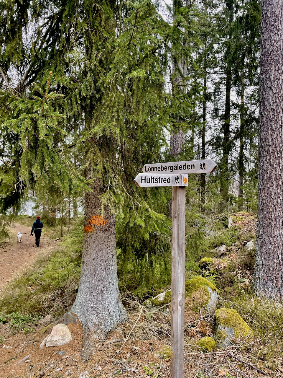
Lönnebergaleden LB1 - Eckerhult - Kvarntorpet - En del av Smålandsleden

  • Gemeente: Hultsfred
  • 14.1 km
  • Moeilijkheidsgraad: Blauw

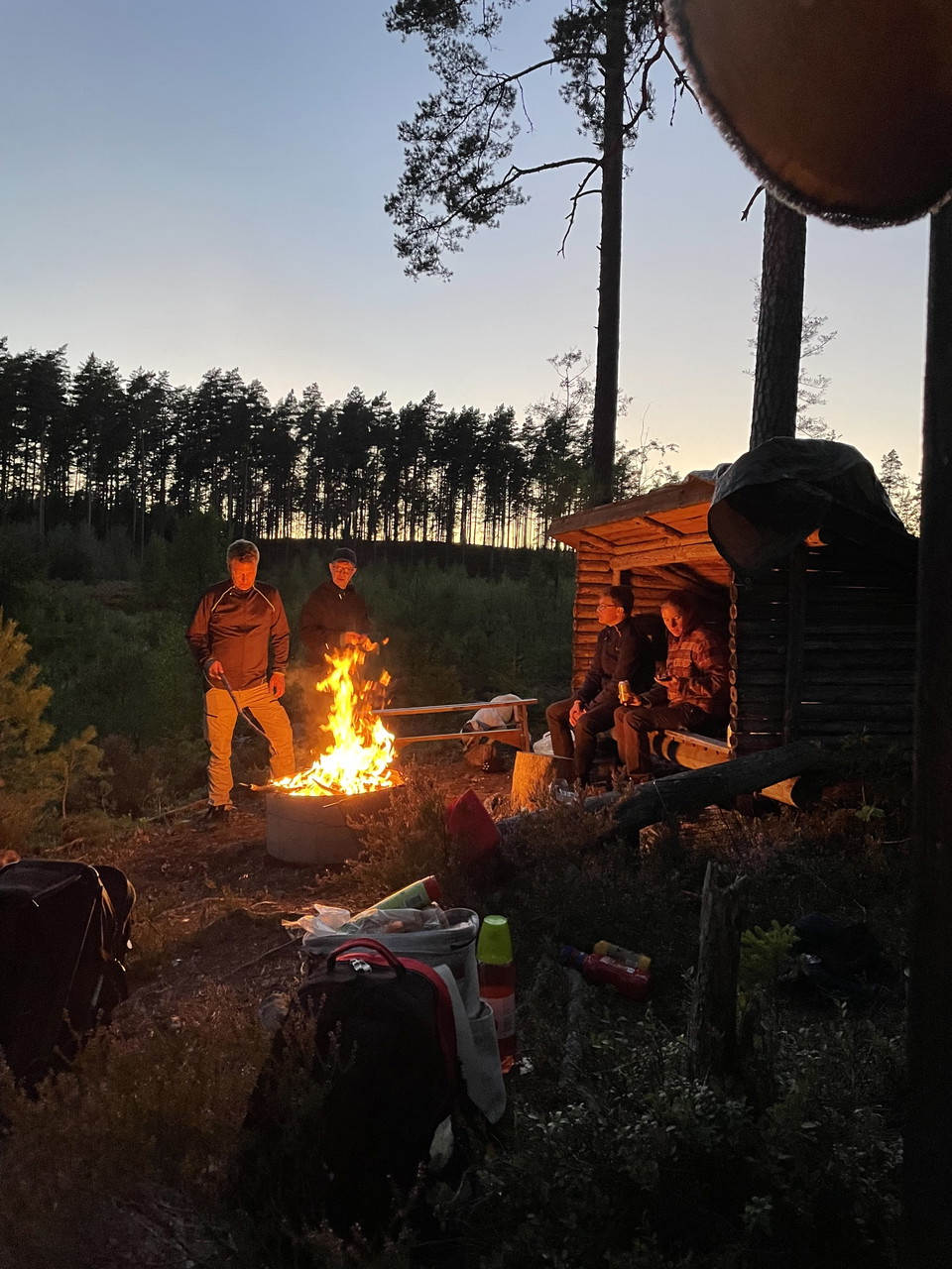
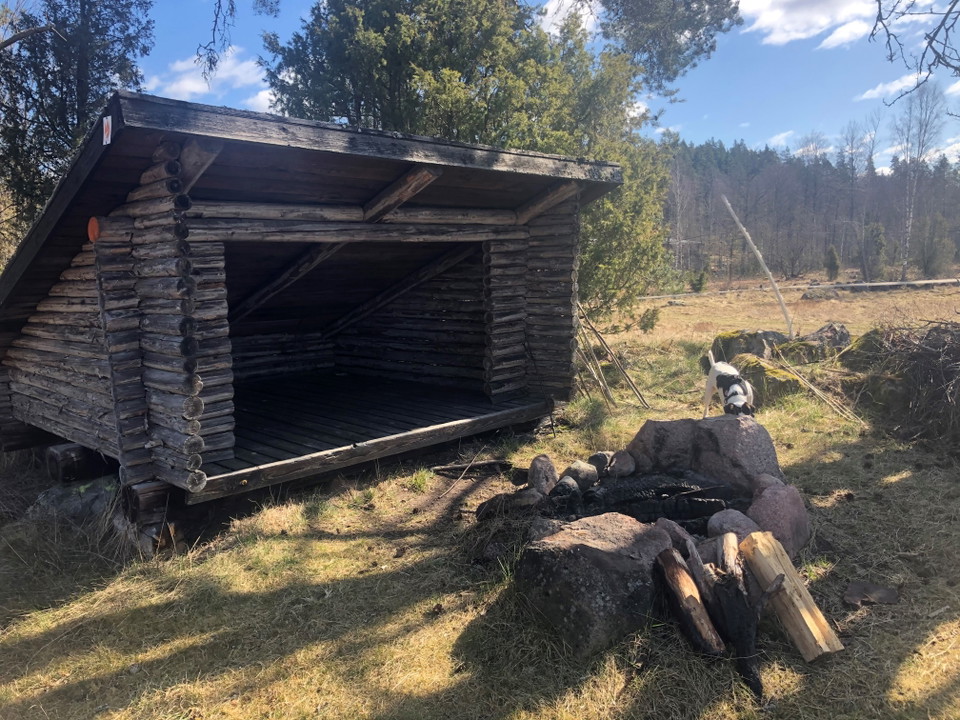
This stage offers a wonderful combination of nature, history, and the chance to relax by the water. Just before Igelhult and at Björnuddviken, there are great spots to take a break. Here you’ll find a wind shelter, a fire pit, a dry toilet, and a place to s…

Hiking

Lönnebergaleden etapp LB2 - Kvarntorpet - Visböle - En del av Smålandsleden

  • Gemeente: Hultsfred
  • 10.5 km
  • Moeilijkheidsgraad: Blauw

On this stage, you’ll travel from Kvarntorpet to Visböle, or you can choose to turn off at Hästhagsgölen and head down to Hultsfred. You’ll pass Siselkällan, a spring that has been used as an emergency water source during several droughts and has never run…

Hiking

Lönnebergaleden etapp LB3 - Visböle - Gisseskalle - En del av Smålandsleden

  • Gemeente: Hultsfred
  • 11.3 km
  • Moeilijkheidsgraad: Rood

Along this stretch, you’ll pass Broastenen, a site that tells part of the area’s history. The trail then continues over a boulder ridge, a remnant of the Ice Age that gives the landscape its distinctive character. There are a total of three wind shelters al…

Hiking

Lönnebergaleden etapp LB4 - Gisseskalle - Lönneberga - En del av Smålandsleden

  • Gemeente: Hultsfred
  • 14.7 km
  • Moeilijkheidsgraad: Rood

From Gisseskalle, the trail continues through a beautiful and varied Småland landscape with several spots well worth a stop. Gisseskalle is a hill offering panoramic views, 234 meters above sea level and about 100 meters above Lake Gissen. From here, you’ll…

Hiking

Lönnebergaleden etapp LB 5 Lönneberga - Järnemåla - En del av Smålandsleden

  • Gemeente: Hultsfred
  • 12.0 km
  • Moeilijkheidsgraad: Blauw

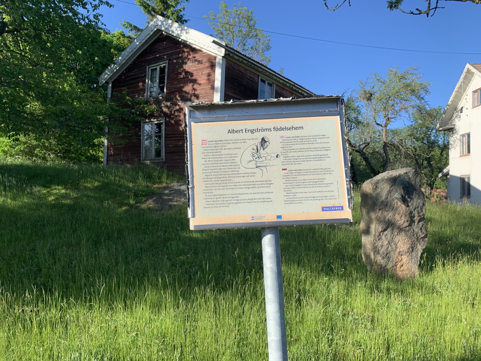
Along this stretch, you’ll pass Albert Engström’s birthplace in Bäckefall and Lammerhatten, a well-known nature area and a 210-meter-high hill. If you take a detour to Lönneberga, you’ll see a beautiful wooden statue of Emil in his carpenter’s shed, created…

Hiking

Lönnebergaleden etapp LB7 - Hultsfred - Lönneberga - En del av Smålandsleden

  • Gemeente: Hultsfred
  • 11.9 km
  • Moeilijkheidsgraad: Blauw

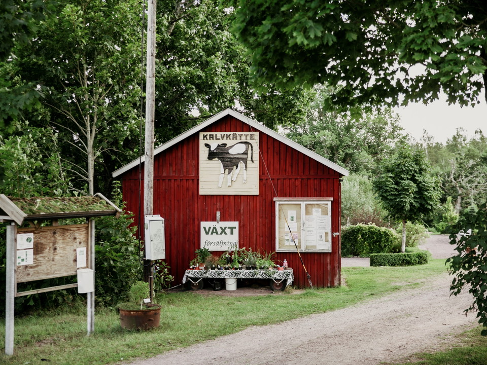
From downtown Hultsfred, the trail continues past the Hagadal Swimming and Sports Center and through the beautiful Kalvkätte Garden. You then leave the built-up area behind and continue along forest trails through a peaceful and varied landscape. Along the…

Hiking

Emilleden etapp EL1 Filmbyn - Åkarp - En del av Smålandsleden

  • Gemeente: Hultsfred
  • 18.2 km
  • Moeilijkheidsgraad: Blauw

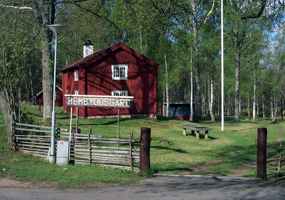
This stage of the Emilleden trail offers a wonderful blend of cultural history and Småland’s natural beauty. We recommend starting at the Mariannelund & Hässleby Local History Museum, beautifully situated on an oak-covered hill. Here you’ll find several his…

Hiking

Emilleden etapp EL2 Åkarp-Filmbyn - En del av Smålandsleden

  • Gemeente: Hultsfred
  • 19.6 km
  • Moeilijkheidsgraad: Blauw

This stage offers fascinating cultural history and stories about people and places that have left their mark on the region. At the local heritage farm, beautifully situated on an oak-covered hill, you can see several historic buildings and the famous stone-…

Beste wandelroutes in %{regio}

Naturkartan samlar de vandringslederna i Kalmar län och Öland som är populärast bland våra användare.

Naturkartan

Open dit in de app