Nyhet!

Nu kan du dela dina bilder på Naturkartan! 📸

Les mer

Beste turstier i Kalmar län och Öland

Kalmar län och Öland

Naturkarten samler de turstiene i Kalmar län och Öland som er mest populære blant våre brukere.

Bilder

Kart

443 Beste turstier i Kalmar län och Öland

Fotturer

Gränsöleden

  • Kommune: Västervik
  • 6857.24 km fra deg
  • 12.0 km

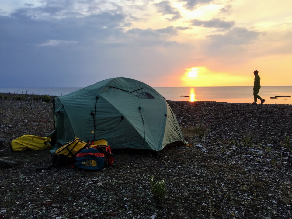
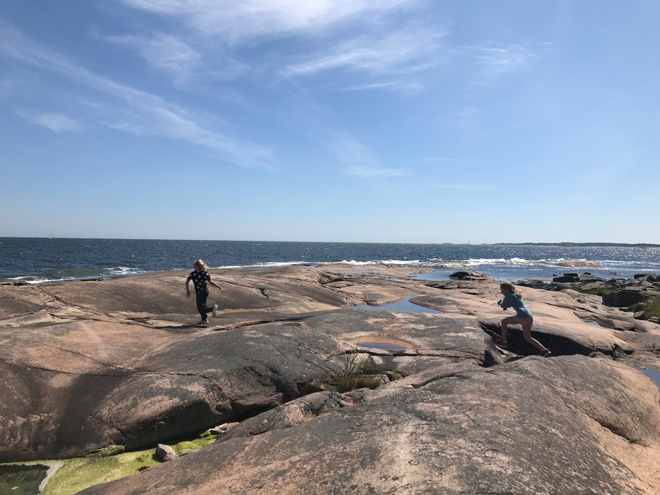
The trail runs through the nature reserve on the Gränsö peninsula. The bare cliffs combined with the grazed oak pastures of the manor landscape offer a varied and beautiful recreational environment. Gränsö nature reserve is within walking distance of Väster…
Fotturer

Gösslundaleden

  • Kommune: Mörbylånga
  • 6921.60 km fra deg
  • 7.0 km

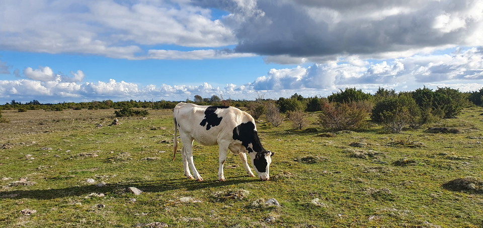
Gösslunda path is a 7 km long hiking trail that starts and ends at the parking lot opposite the entrance to Gösslunda village. The trail is marked with stone cairns that show you the way. Gösslundapath is relatively easy with mostly low-growing vegetation.…

Fotturer

Bielkeleden

  • Kommune: Emmaboda
  • 6863.35 km fra deg
  • 6.1 km
  • Vanskelighetsgrad: Rød

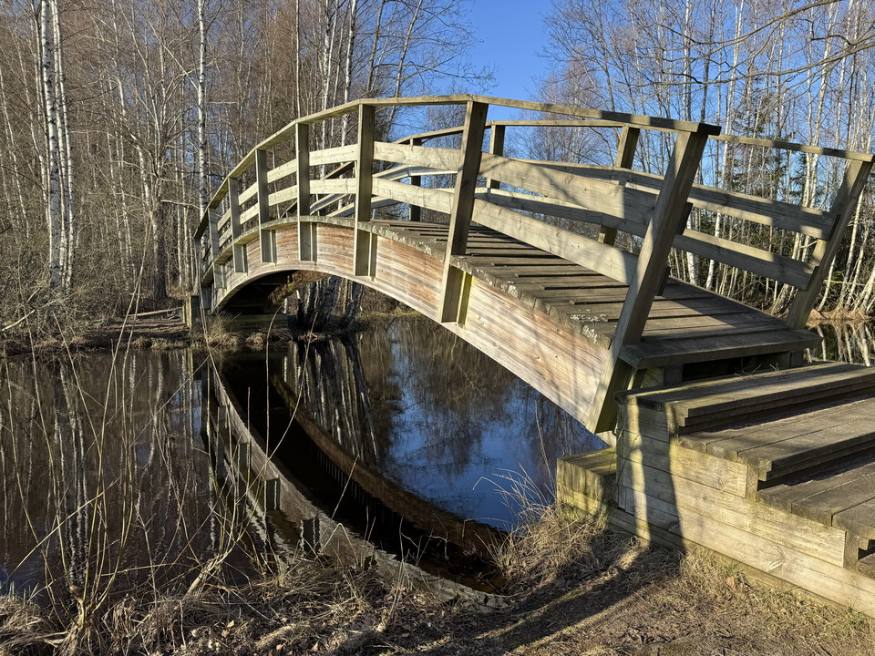
Bielkeleden is a hiking trail that follows the shore around Grimmansmålasjön and is about 6 kilometers long. With the help of footbridges and bridges, you can reach the legendary Rostockaholme. Nils Turesson (Bielke) lived here in the early 14th century. Ni…

Fotturer

Torsjöleden

  • Kommune: Emmaboda
  • 6874.18 km fra deg
  • 5.2 km

Torsjöleden is a hike in the forest and land through time far from denser buildings. The trail is about 6 km long. It goes through a very varied and beautiful nature for Småland. The trail runs along paths and small roads.

Fotturer

Bårby källa vandringsslinga

  • Kommune: Mörbylånga
  • 6920.22 km fra deg
  • 6.0 km

At Bårby Källa there are two hiking trails, one of 1.8 km and one of 6 km, which take you out into a varied Alvar landscape. The hiking trail starts from the parking lot at Möckelmossen, on the south side of the road between Resmo and Stenåsa. The trail is…

Fotturer

Signaturled Öland - Mörbylångaleden Etapp 2

  • Kommune: Mörbylånga
  • 6911.16 km fra deg
  • 18.0 km
  • Vanskelighetsgrad: Blå

Linné Station, Skogsby - Mörbylånga TRAIL DESCRIPTION Accompanied by stunning views, this stage takes you along the coast to Mörbylånga. You pass through the lush, bird-rich Vickleby Forest and continue along the Kalmarsund past Haga Park. You follow the be…

Fotturer

Orrefors vandringsled

  • Kommune: Nybro
  • 6857.01 km fra deg
  • 19.1 km

Welcome to hiking and culture in the footsteps of glass. Experience the mill environment, the beautiful nature and fascinating traces of the Ice Age. Whatever the season, there is much to discover here!

Fotturer

Brantestad Naturrunda

  • Kommune: Vimmerby
  • 6833.01 km fra deg
  • 9.9 km
  • Vanskelighetsgrad: Grønn

The Brantestad nature walk is 9.9 km long but is divided into two loops, so you can choose to walk the whole route or just part of it. It follows roads and paths through areas of natural beauty between Brantestad, Stjärnevik, Ryggåsen and Lake Yxern. The wa…

Fotturer

Signaturled Öland - Mörbylångaleden Etapp 4

  • Kommune: Mörbylånga
  • 6919.95 km fra deg
  • 19.5 km
  • Vanskelighetsgrad: Blå

Kastlösa - Seby Läge TRAIL DESCRIPTION Stage 4 largely follows a route where the Öland railway ran until 1961. Between Kastlösa and Skärlöv it is easy to get around, even with a bicycle or pram. South of Skärlöv and up to Mellby the trail is more difficult,…

Fotturer

Nunnedalen

  • Kommune: Mörbylånga
  • 4.0 km

Nunnedalen is located just south of Vickleby and is a narrow strip of deciduous forest on the edge of the western landborgen. In spring the ground here is covered with blue, white and yellow daisies. There are also spring bulbs and several species of evenin…

Fotturer

Gråstensmon

  • Kommune: Nybro
  • 6846.72 km fra deg
  • 7.0 km
  • Vanskelighetsgrad: Blå

Gråstensmon has one of the most well-known examples of stagnation moraine in South Sweden. Here is one of the country’s most interesting geological formations as a result of the inland ice melting. The area also has one of the most valuable wetlands in Kalm…

Fotturer

Signaturled Öland - Mörbylångaleden Etapp 3

  • Kommune: Mörbylånga
  • 6912.76 km fra deg
  • 13.5 km
  • Vanskelighetsgrad: Grønn

Mörbylånga - Kastlösa TRAIL DESCRIPTIONThe stage largely follows the fertile agricultural landscape and coastline of the Mörbylånga valley before heading out towards the alvar. You follow mostly paved road and shorter stretches of gravel road. At the coast…

Fotturer

Signaturled Öland - Mörbylångaleden Etapp 1

  • Kommune: Mörbylånga
  • 6910.20 km fra deg
  • 18.0 km
  • Vanskelighetsgrad: Grønn

TRAIL DESCRIPTION At this stage, you will initially experience Kalmarsund, Ölandsbron and the area surrounding Färjestaden. Rural line villages, the leafy Mittlandsskogen, arable land, meadows and the outskirts of the alvar contribute to varied views. Stage…

Fotturer

Mittlandsleden Gråborg-Jordtorpsåsen

  • Kommune: Mörbylånga
  • 6913.35 km fra deg
  • 4.3 km

This part of the Mittlandsleden takes you between Jordtorpsåsen nature reserve and Gråborg. The route consists of different parts that are also good for hiking as circular loops. The western part starts at the Jordtorpsåsen nature reserve and can be walked…

Fotturer

Ankarsrumsslingan, Tjustleden

  • Kommune: Västervik
  • 6843.54 km fra deg
  • 11.9 km

**Ankarsrumsslingan is intended both for circular walks and as a connection to longer walks on the Tjustleden. If you go to Isgölen on the Ankarsrum trail, after just a few hundred meters you will find the foundation walls (of cinder block) after "Isgöhlest…

Beste turstier i Kalmar län och Öland

Naturkarten samler de turstiene i Kalmar län och Öland som er mest populære blant våre brukere.

Naturkartan

Åpne dette i appen