

-
-
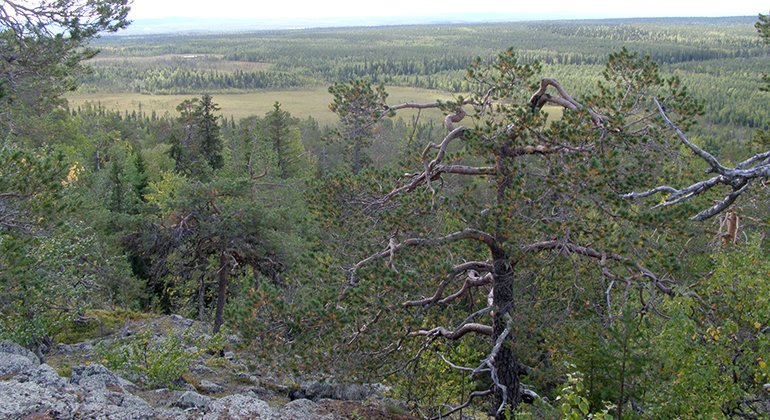
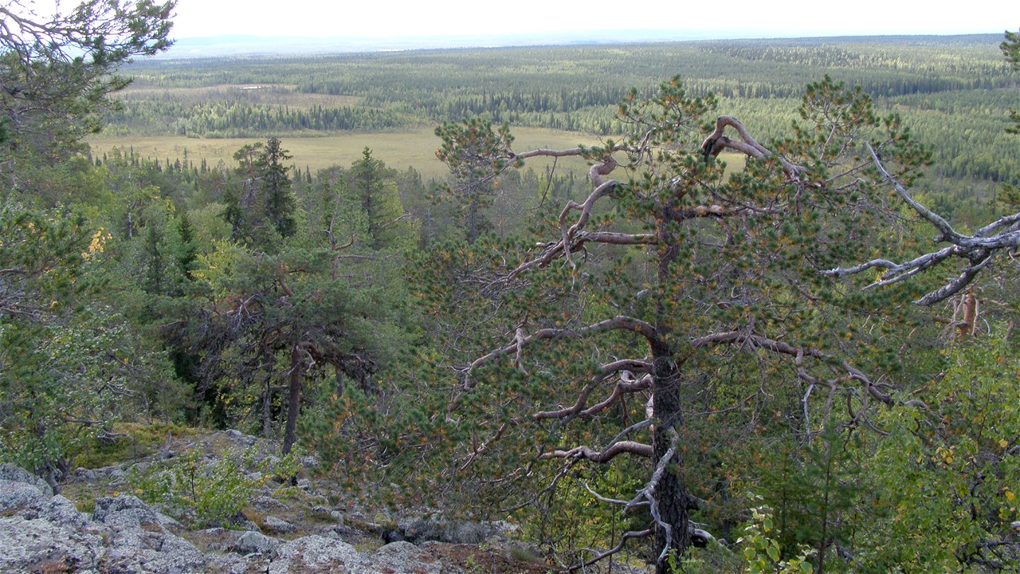
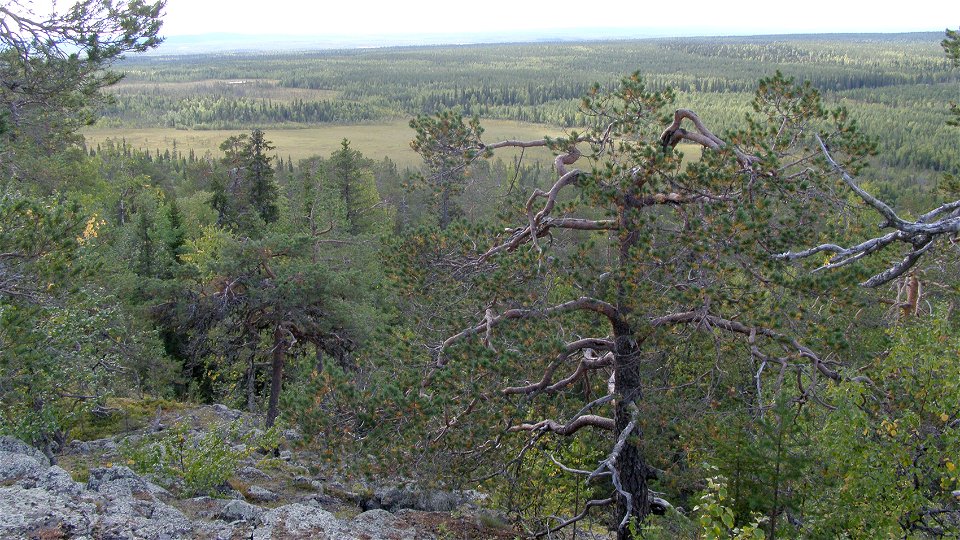
Suorsapakka.
Foto: Länsstyrelsen Norrbotten -
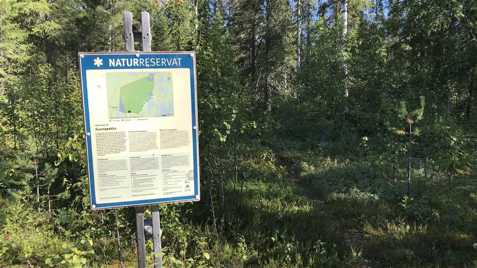

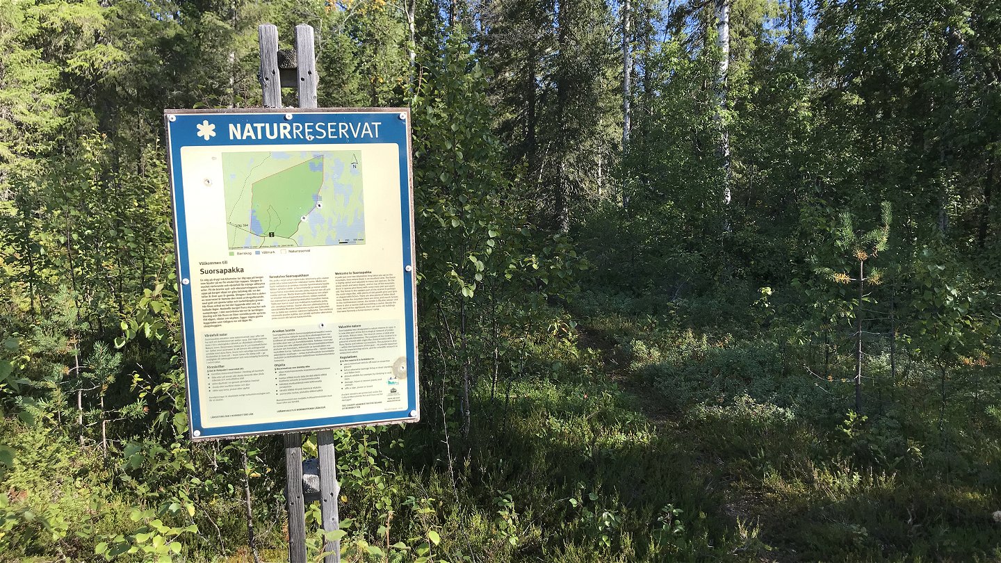
Suorsapakka
Natuurgebied
- Regio: Norrbottens län
- 7676.46 km van u vandaan
Acties
Omschrijving
The area comprises the forested mountain Suorsapakka with surrounding wetlands and waterlogged forests. You have a panorama over the landscape from the fire watchtower at the top of the reserve. The forest in the area is rich in variety and has strong virgin forest characteristics. The area is 3.6 square kilometres in size.
Activiteiten en faciliteiten
-
Natuurgebied
Feiten
Municipality: Pajala
Year of formation: 1997
Size: 3.6 square kilometers
Administrator: County Administrative Board
Form of protection: Nature reserve, Natura 2000
Communicatie
The reserve lies about 20 kilometres southwest of Pajala. Drive about 7 kilometres north of Tärendö, turn eastwards from road 394 onto a logging road which leads as far as the reserve.
Routebeschrijving
The reserve is located about 20 kilometers southwest of Pajala. Drive about 7 kilometers north of Tärendö, turn east from road 394 on the forest road that leads to the reserve.
Regelingen
All regulations can be found in the reserve decision. It is allowed to:
- camping
- hike
- make a fire, remember to bring your own wood!
- pick berries and edible mushrooms
- drive snowmobiles on snow-covered ground
- fish and hunt in accordance with the laws in force
It is not allowed to harm plant and animal life. Remember the right of public access and protect nature!
Contact
E-mailadres
Länsstyrelsen Norrbotten
Organisatie-logotype
![]()
Houd er rekening mee dat sommige teksten automatisch zijn vertaald.
Vragen en antwoorden
Stel een vraag aan andere Naturkartan gebruikers.
Beoordelingen
Misschien bent u ook geïnteresseerd in
