

-
-
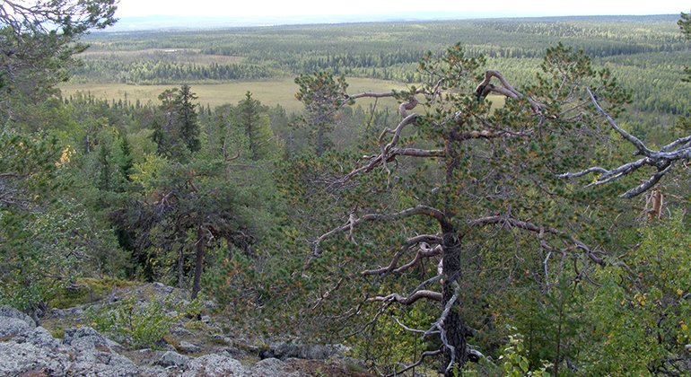
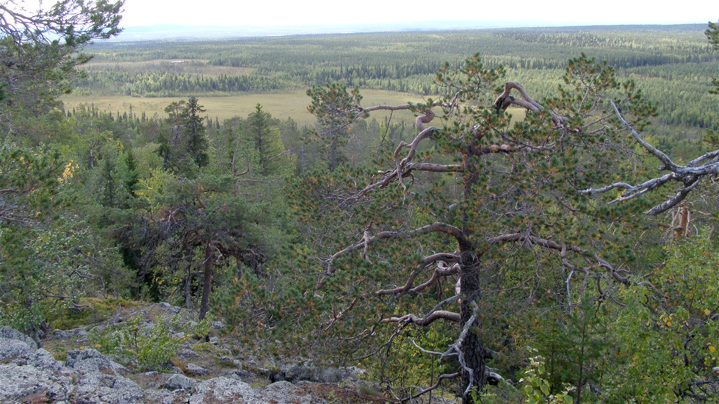
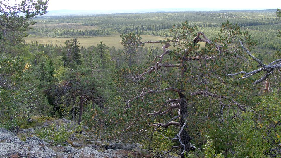
Suorsapakka.
Foto: Länsstyrelsen Norrbotten -
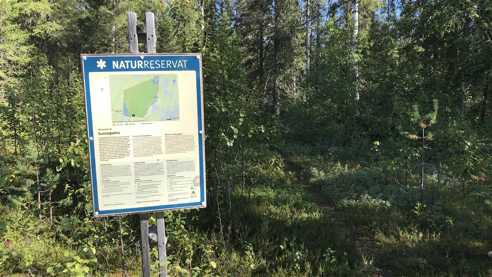

Suorsapakka
Naturreservat
- Fylke: Norrbottens län
- 7676.46 km fra deg
Handlinger
Beskrivelse
The area comprises the forested mountain Suorsapakka with surrounding wetlands and waterlogged forests. You have a panorama over the landscape from the fire watchtower at the top of the reserve. The forest in the area is rich in variety and has strong virgin forest characteristics. The area is 3.6 square kilometres in size.
Aktiviteter og fasiliteter
-
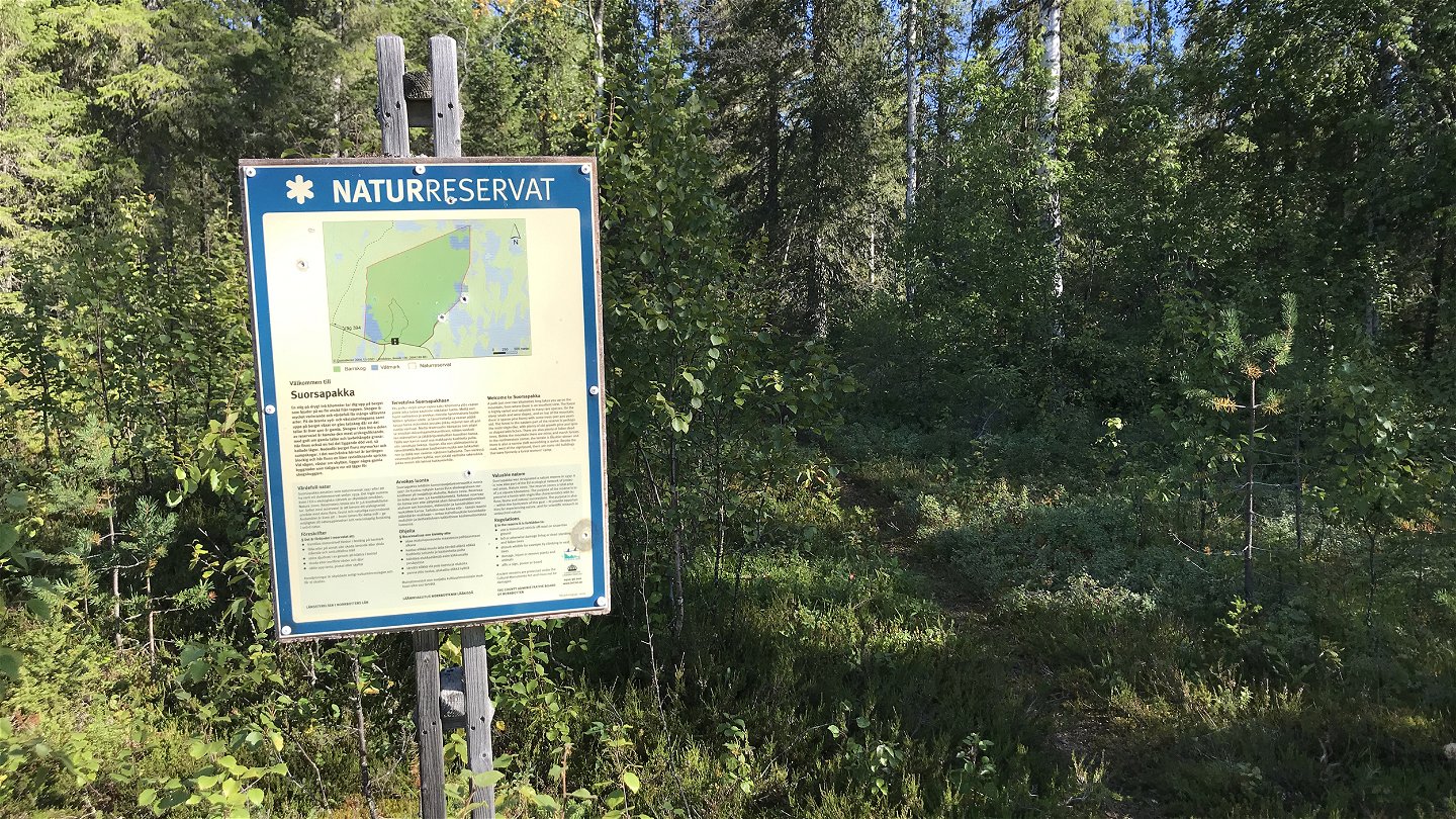
Naturreservat
Fakta
Municipality: Pajala
Year of formation: 1997
Size: 3.6 square kilometers
Administrator: County Administrative Board
Form of protection: Nature reserve, Natura 2000
Kommunikasjon
The reserve lies about 20 kilometres southwest of Pajala. Drive about 7 kilometres north of Tärendö, turn eastwards from road 394 onto a logging road which leads as far as the reserve.
Veibeskrivelse
The reserve is located about 20 kilometers southwest of Pajala. Drive about 7 kilometers north of Tärendö, turn east from road 394 on the forest road that leads to the reserve.
Forskrifter
All regulations can be found in the reserve decision. It is allowed to:
- camping
- hike
- make a fire, remember to bring your own wood!
- pick berries and edible mushrooms
- drive snowmobiles on snow-covered ground
- fish and hunt in accordance with the laws in force
It is not allowed to harm plant and animal life. Remember the right of public access and protect nature!
Kontakt
E-postadresse
Länsstyrelsen Norrbotten
Logotype for organisasjonen
![]()
Vær oppmerksom på at noen av disse tekstene er automatisk oversatt.
Spørsmål og svar
Still et spørsmål til andre brukere av Naturkartan.
Omtaler
Du kan også være interessert i
