Odlingsrösen och högar med sten
Intressepunkt
- Regio: Kronobergs län
- 6441.56 km van u vandaan
Acties
Omschrijving
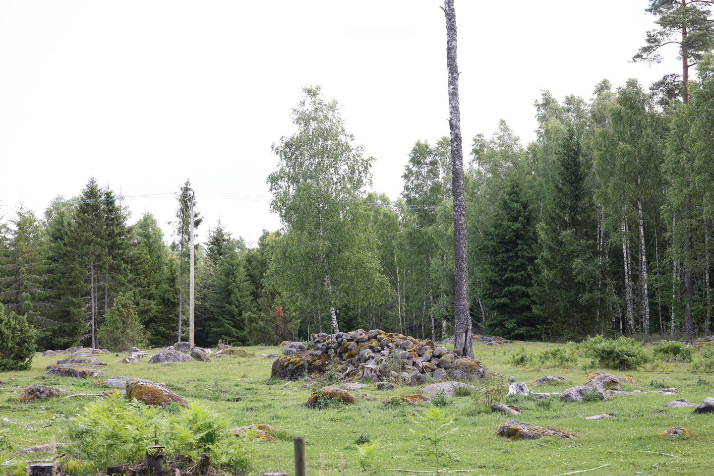
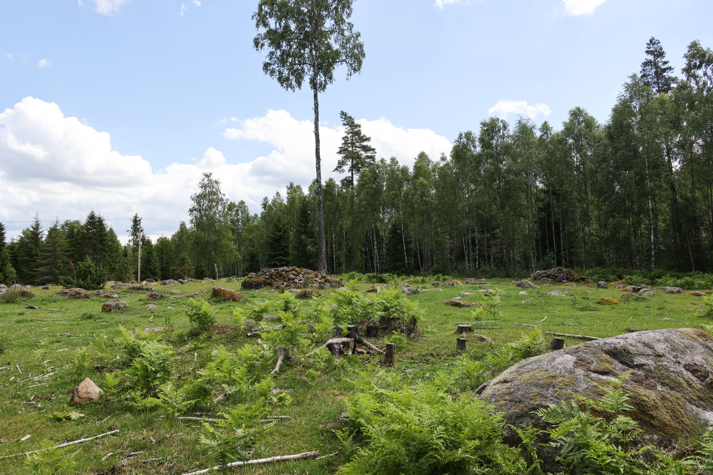
In many places along the Utvandrarleden, you see traces of human presence in the form of crop heaps, stone-fenced farms and cleared fields. Land used for cultivation has always been cleared of stone. This is to facilitate land preparation, sowing and harvesting and to have the opportunity to cultivate the lean fields. Stones furthest towards the edges have been swept away or placed at the outer edges of the field, often in the form of stone fenced yards as a border with the neighbor or to keep animals away from the fields. Stones further towards the center have been collected in the cultivation heap. The oldest cairns originate from the younger and older Iron Age, most commonly on light soils where the land could be cultivated with simple hand tools, while many of Småland's cairns were added during the intensive farming periods of the 18th and 19th centuries when the population increased greatly. Today, you mainly see the cultivation piles on pastures that are no longer cultivated where modern machines do not come into use. The reason the ground you see in front of you is still full of rock is because the frost is pushing up deep-lying rocks to the surface. The work of clearing the fields from stone thus never ends. In order to determine the age of a stone wall or a cultivation mound, you can in some cases use lichens to measure the growth rate, but the figure is highly uncertain as the vegetation changes, which affects the lichen's growth and distribution.
Activiteiten en faciliteiten
-
Intressepunkt
Contact
E-mailadres
Tingsryds Turistinformation
Houd er rekening mee dat sommige teksten automatisch zijn vertaald.
Vragen en antwoorden
Stel een vraag aan andere Naturkartan gebruikers.


