Fossil åkermark
Intressepunkt
- Regio: Kronobergs län
- 6445.72 km van u vandaan
Acties
Omschrijving
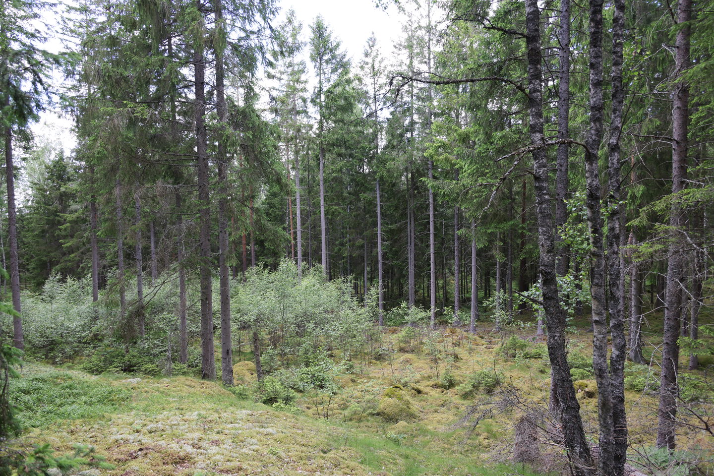
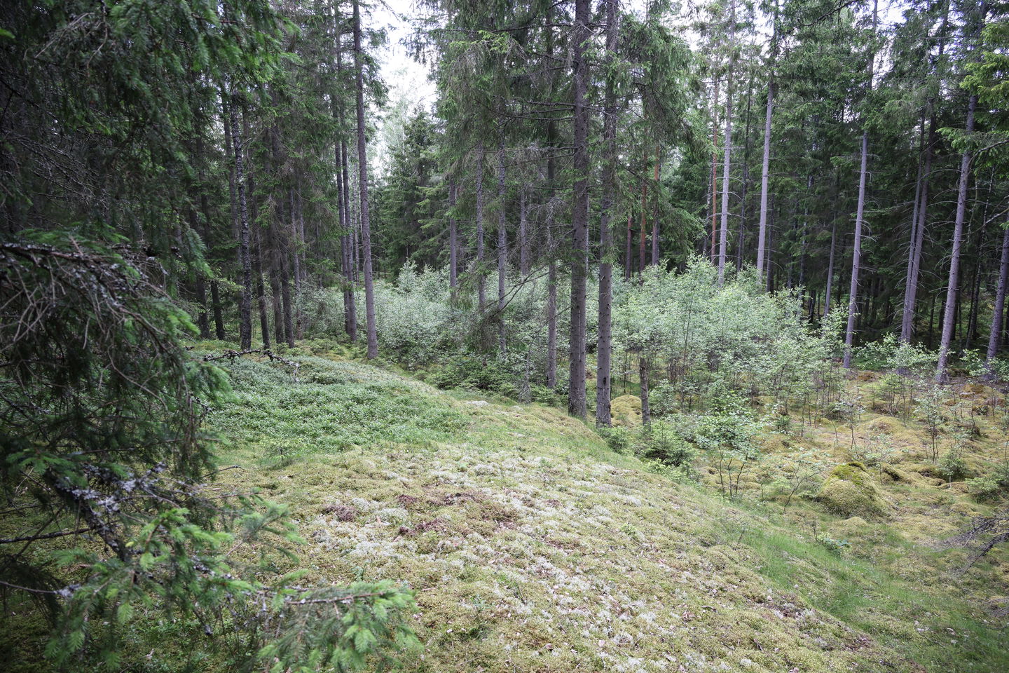
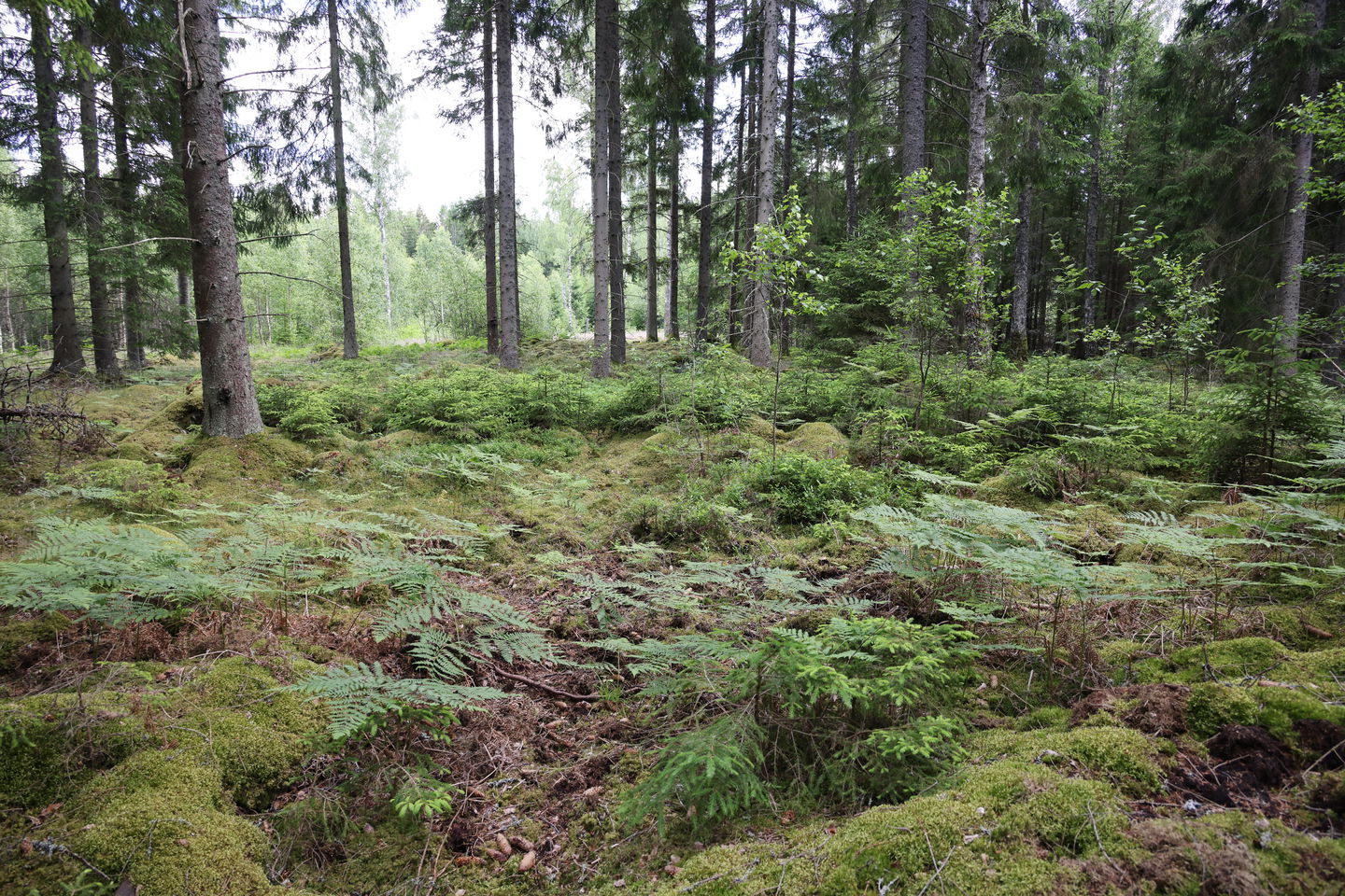
A bit north of the Emigrant Trail is an area with a handful of fossil fields marked on the map. Such can be seen in several places along the trail, but this is a nice place where you can make out the cultivation area between the cairns and larger stones. The term Fossil field is usually used to point out permanently abandoned arable land that has not been used for a long time. In some cases, terrace edges and ditches can be seen, but usually it is difficult to distinguish where the land was cultivated and how large the field was. The National Antiquities Authority secures the designation fossil field with the fact that there must be specific form elements, for example terrace edges, ramparts, stone strings or a concave profile for the site to be called a fossil field. The most common form of fossil field is what you call clearing heap areas, i.e. places where you can clearly see how people have removed stones to be able to cultivate in between. In contrast to newer stone cairns from the 19th and 20th centuries, the fossil cairns are considerably older and usually overgrown with grass, bushes and moss. In some cases, they can even be difficult to detect.
Activiteiten en faciliteiten
-
Intressepunkt
Contact
E-mailadres
Tingsryds Turistinformation
Vragen en antwoorden
Stel een vraag aan andere Naturkartan gebruikers.


