

Runt Vättern


Pilegrimsrute
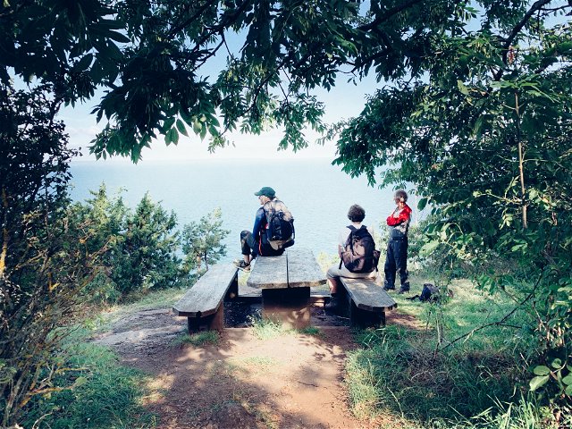
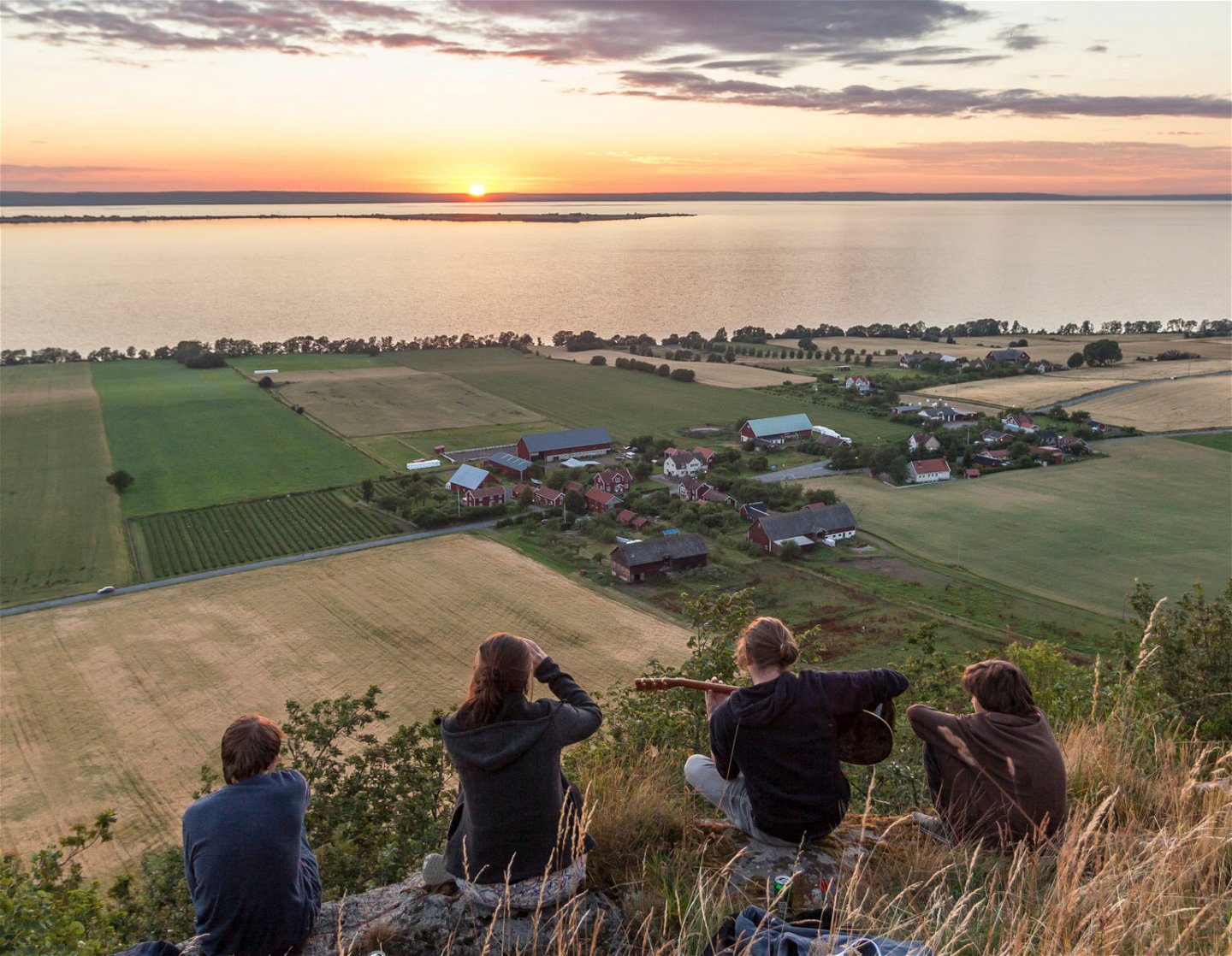
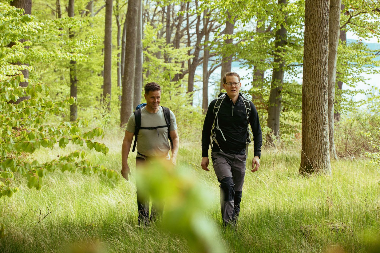
This stage mainly follows roads, starting on asphalt and then gravel, with opportunities for swimming and many scenic detours. It's a good idea to bring provisions from Gränna, including supplies for the evening and the next day if you plan to stay at Stava Missionshus. In several places, you can choose between different paths; often, one option is steeper but offers beautiful views or nature. Pay attention to your energy levels.
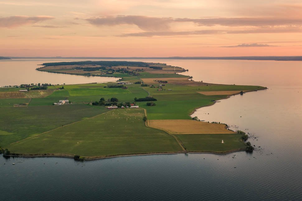
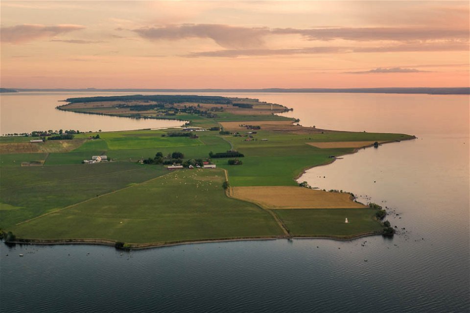
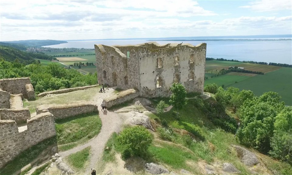
St. Birgitta Ways converges here with both the Franciscan Trail and the Biosphere Trail. This is a day stage with no fewer than five nature reserves near the trail. From the road, you can see Brahehus, one of Sweden's most famous landmarks. (For those who want to make a detour to Brahehus, it takes 1 hour on a partly difficult trail.)
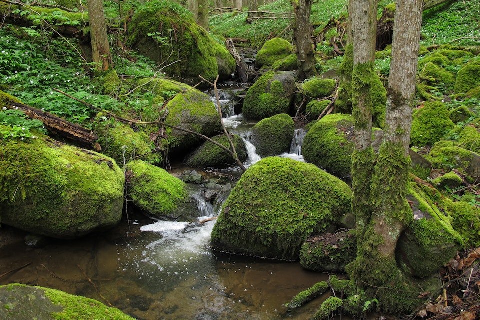
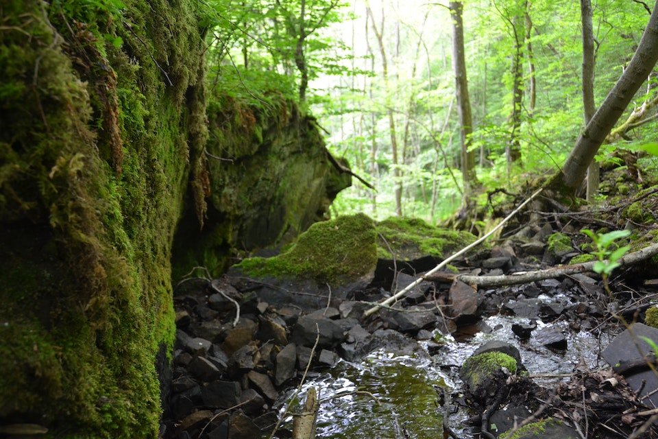
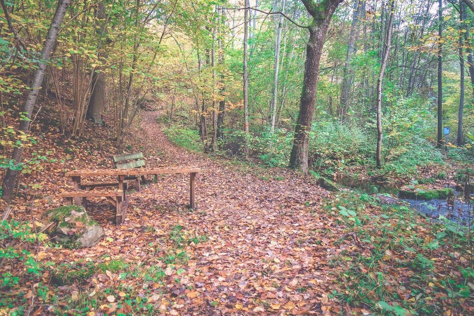
Girabäcken is a gem along the trail and worth a detour. It is a lovely ravine full of wild garlic in the summer. You can also take a detour down to Lake Vättern and the pebble beach there. It’s a great spot for swimming.
You can find more information on "Franciskusleden" (the Franciscan Trail) and Jönköping Municipality's nature map.
(aug 2024)

 Fotturer
Pilegrimsrute
Fotturer
Pilegrimsrute
Har du frågor kring leddragningar eller intressepunkter på St. Birgitta Ways kartguide. Kontakta då Emanuel Eriksson på Pilgrimscentrum
Vadstena Pilgrimscentrum
![]()
Still et spørsmål til andre brukere av Naturkartan.