
-
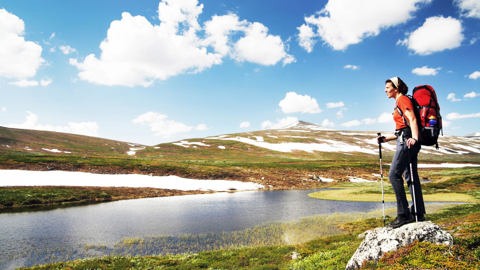
Foto: Håkan Hjort -
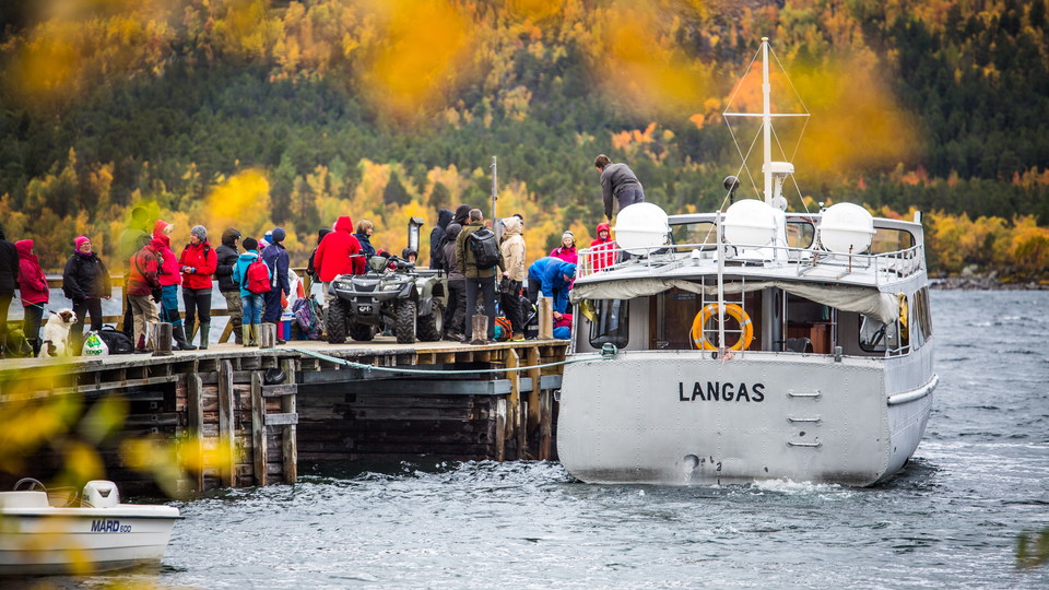
M/S Langas.
Foto: STF -
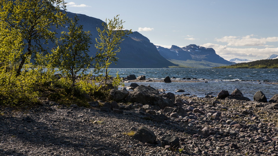
Foto: Tor Tuorda -
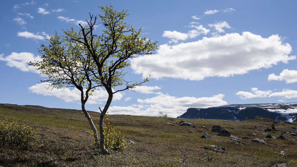
Foto: Tor Tuorda
Saltoluokta-Sitojaure, Kungsleden
- Fotturer
- Fylke: Norrbottens län
- 6418.17 km fra deg
Detaljer om stien
- Lengde 19.0 km
Handlinger
Beskrivelse
From Saltoluokta Mountain Station the trail rises steeply through pine forest. There are several parallel paths and paths that branch off. It is easy to take the wrong path, so pay attention to the trail markings, which consist of signposts and orange coloured markings on trees and stones. After 1 km, a path turns off towards Lake Bietsávrre to the right as you hike. After 500 m, another path turns off to the right, towards the ravine Áhusjgårsså. Keep left and follow the King’s Trail signposts past these turnoffs and you will find your way.
When you reach the bare mountain the trail flattens off and leads across easily hiked moorland. The view towards Lulep Gierkav and Lake Langas is stunning. About halfway to the Sitojaure Cabins in the wide valley lies the overnight cabin Autsutjvagge. The hike ends with a gradual descent towards the Sitojaure Cabins, the last kilometres through birch forest.
You find tent pitches along the whole hiking stretch.
Duration: 6-8 hours
Aktiviteter og fasiliteter
- Fotturer
Underlag
Very easy-to-hike trail stretch. The climb from Saltoluokta Mountain Station up to the bare mountain and the Ávtsusjvágge Valley, however, is fairly steep. Once up on the bare mountain you hike on relatively flat moorland and along esker ridges.
Kommunikasjon
You get to Kebnats by car or bus via the big road between Gällivare and Ritsem. There are daily bus connections during the season, and a car park at Kebnats. From Kebnats there are daily boat rides across Lake Langas to Saltoluokta Mountain Station.
Länstrafiken Norrbotten website (bus and coach operator) The boat M/S Langas (Swedish Tourist Association website)
Kontakt
E-postadresse
Länsstyrelsen Norrbotten
Organisasjonens logotype

Jeg har vært her 38






Jeg ønsker å dra hit 70


Spørsmål og svar
Still et spørsmål til andre brukere av Naturkartan.
Omtaler
0 anmeldelser
- 5 :
- 4 :
- 3 :
- 2 :
- 1 :
Brukernes bilder
Ingen brukerbilder ennå. Bli den første til å dele!
