


5
Vandringsled BD46 mellan Singi och Kaitumjaure
- Fotturer
- Fylke: Norrbottens län
- 6387.35 km fra deg
Detaljer om stien
- Stage 5 of 8
- Lengde 13.0 km
Handlinger
Beskrivelse
This trail has 8 stages
-
1
-
2
-
3
-
4
-
5
Stage you are in
-
6
Kungsleden, Vandringsled BD49 mellan Gáidumjávri och Dievssájávri
- Kommune: Gällivare
- 6389.18 km fra deg
- 9.0 km
-
6
Kungsleden, Vandringsled BD50 mellan Dievssájávri och Vákudavárre
- Kommune: Gällivare
- 6388.35 km fra deg
- 15.0 km
-
7



Aktiviteter og fasiliteter
- Fotturer
Underlag
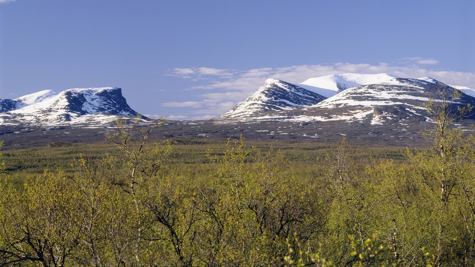
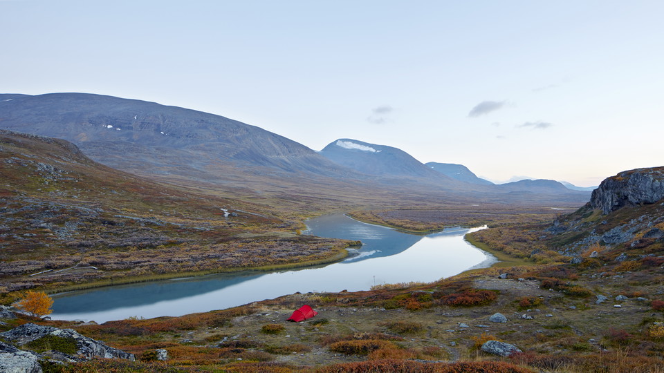
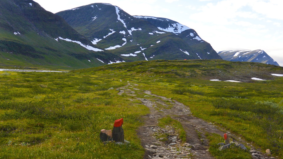
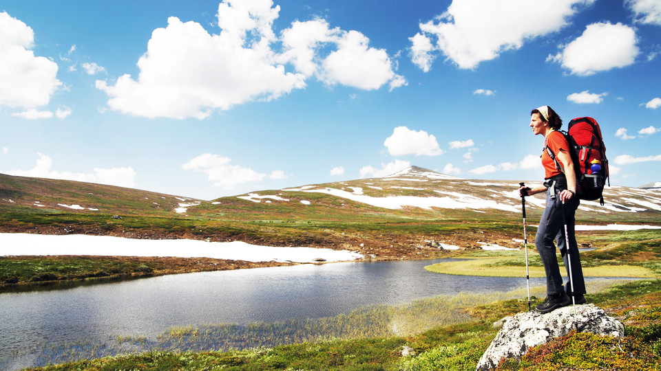
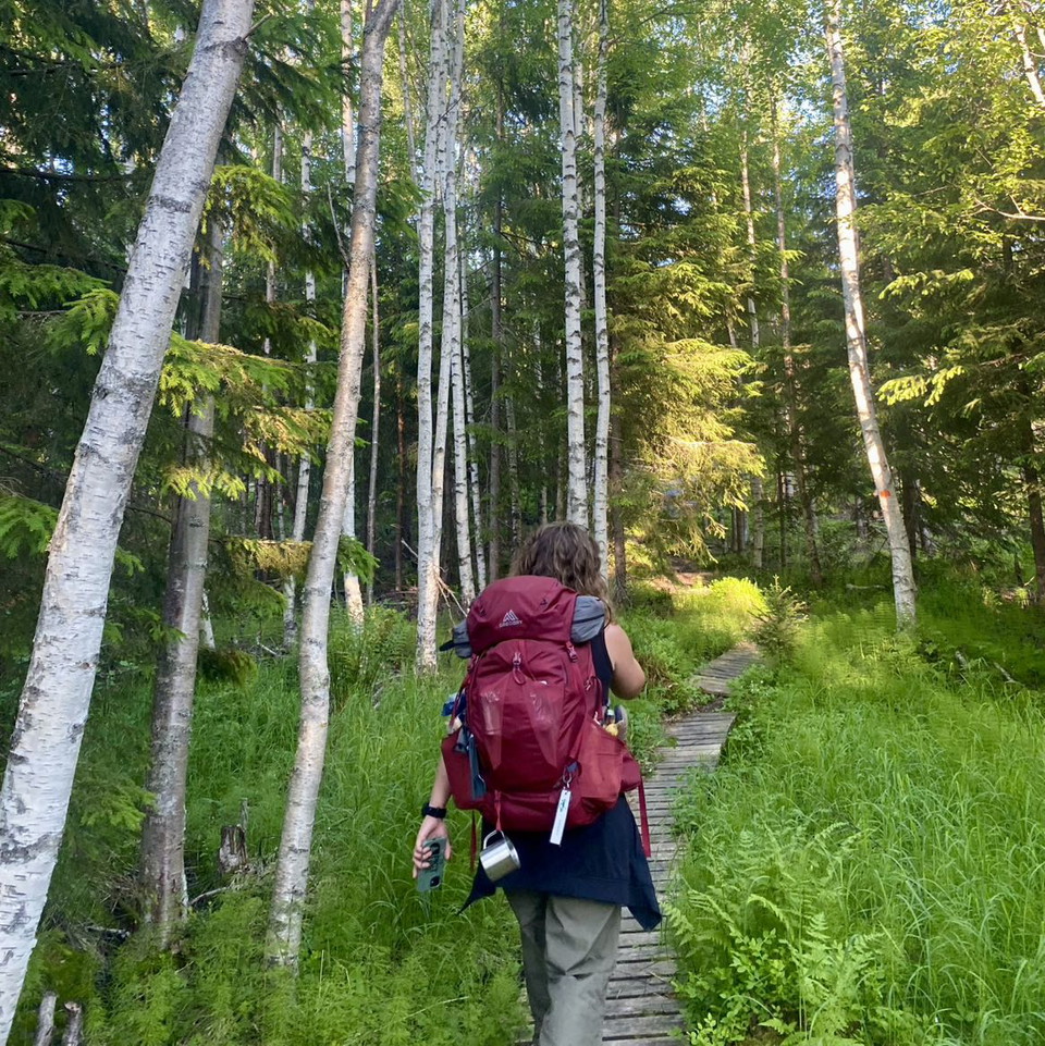
Slightly hilly and rocky terrain for the first kilometres –after that mostly flat moorland. There are many plankways on this stretch.
Kontakt
E-postadresse
Länsstyrelsen Norrbotten
Organisasjonens logotype

Jeg har vært her 27










Jeg ønsker å dra hit 57





Omtaler
—
0 anmeldelser
- 5 :
- 4 :
- 3 :
- 2 :
- 1 :
Spørsmål og svar
Still et spørsmål til andre brukere av Naturkartan.
Brukernes bilder
Del bildene dine fra stedet!
